Site Seeing
(Click to enlarge)
Driving to Sacramento
Mark D Larsen
September 5-6, 2025
|
Site Seeing (Click to enlarge) | 14th California Roadtrip - Part 1
Driving to Sacramento Mark D Larsen September 5-6, 2025 |
What follows is an annotated album of our roadtrip to the Sacramento area. As you will see, it took us two days to get there, driving through some very picturesque landscapes through the east side of the Sierra Nevada range.
NOTE: You can click on the following photos to enlarge them and the movies to play them.
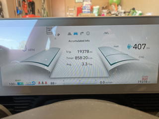
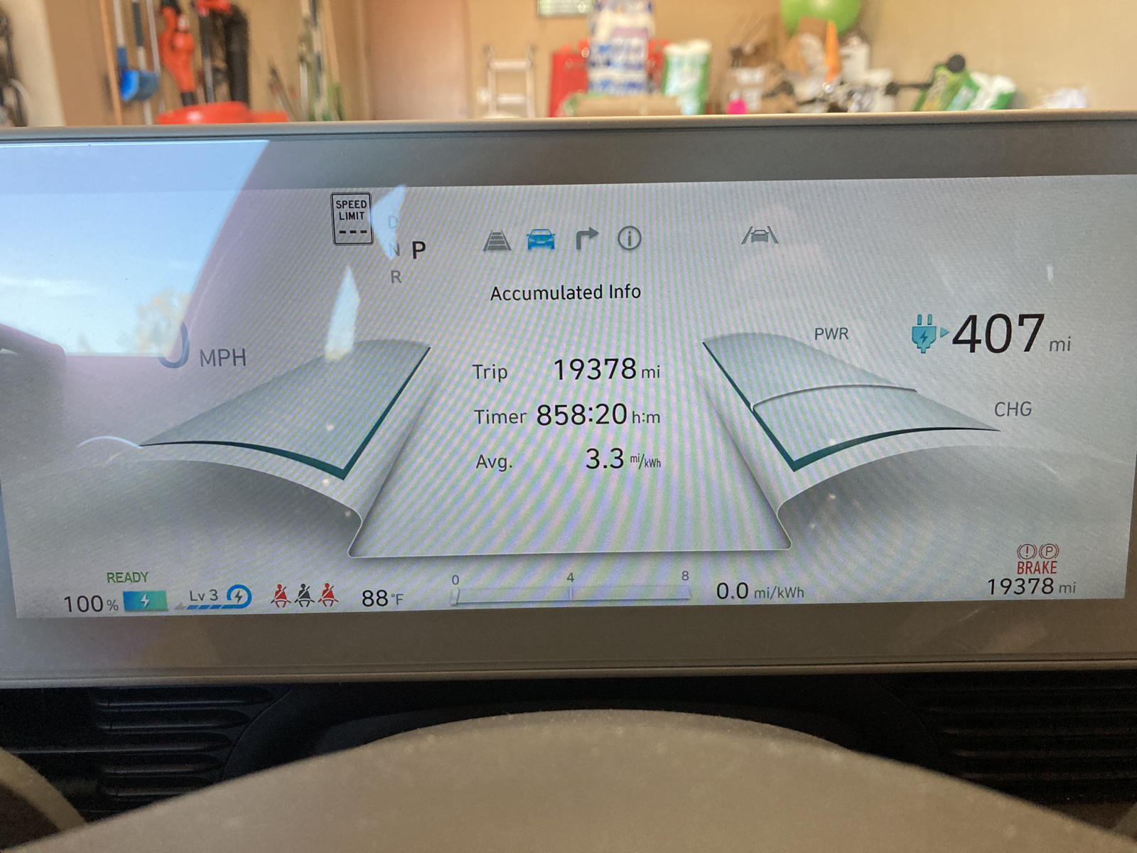
Knowing that our first stop that day would be in Primm, NV, to bypass the usual traffic congestion in Las Vegas, I charged Rocinante to 100% on the morning we departed. As you can see, the guess-o-meter predicted a totally exaggerated range of 407 miles.
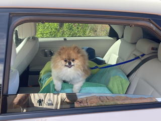
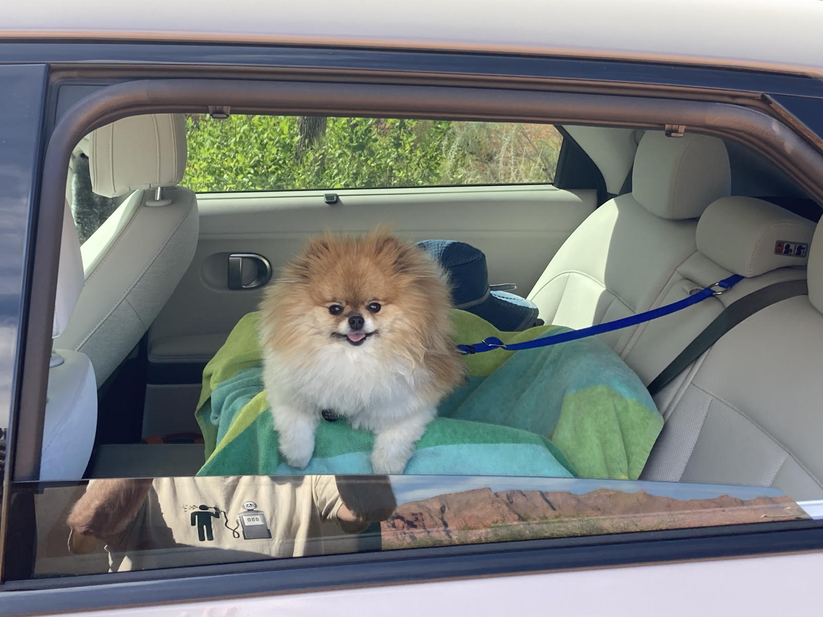
Moxie was delighted to be going on another roadtrip adventure.
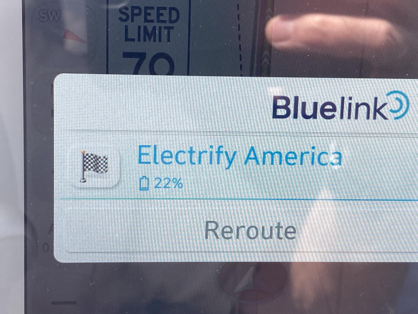
Here's my usual introductory video. You'll see that the navigation screen indicated more than two hours to reach Primm, where we'd still have 22% in the battery.
Shortly after the above video, we took this one while descending the road to Littlefield and Mesquite.
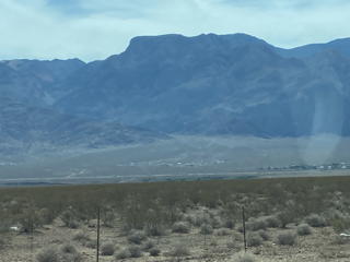
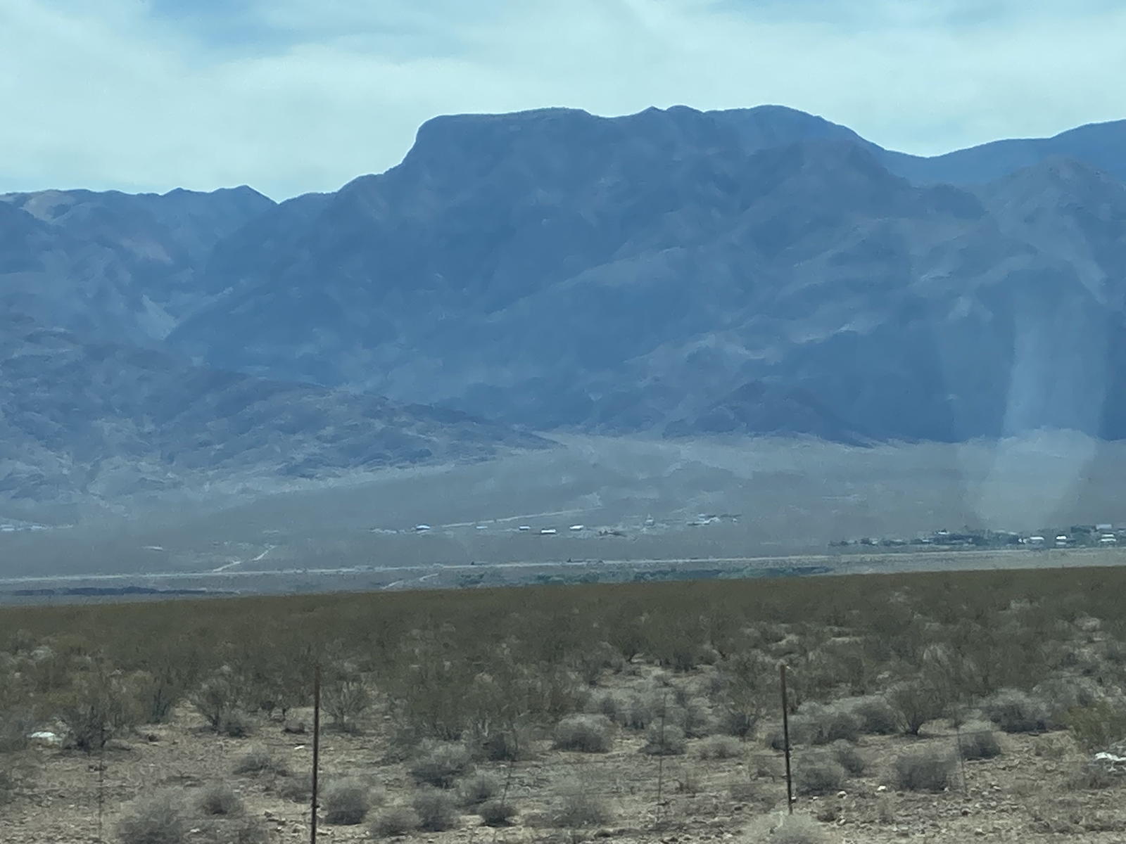
The mountains to the east looked particularly massive.
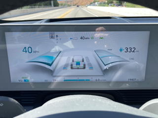
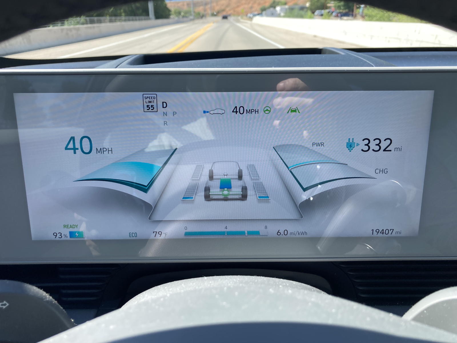
I took this photo when we arrived in Littlefield to show how regenerative braking has really boosted our energy efficiency on the descent: 6.0 miles-per-kWh!
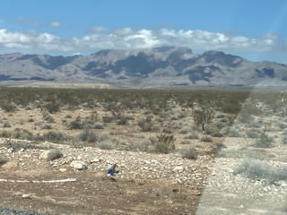
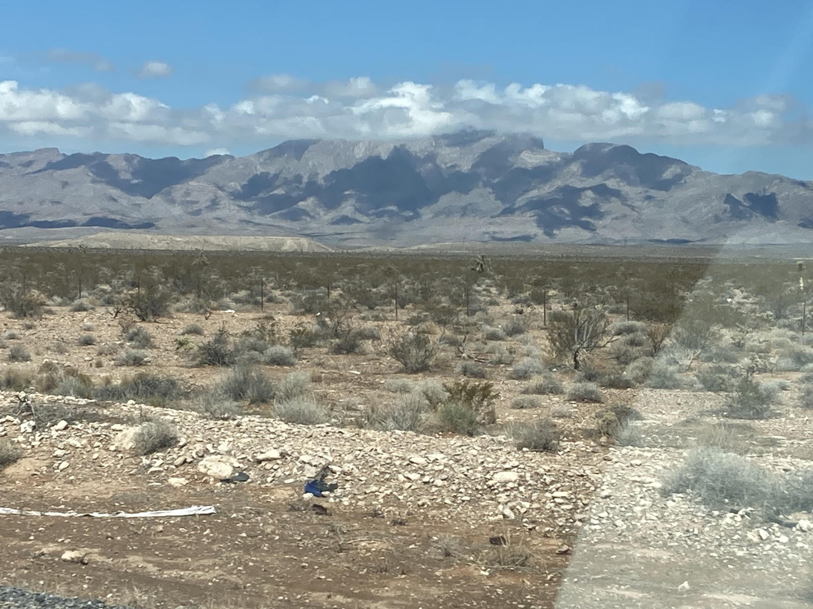
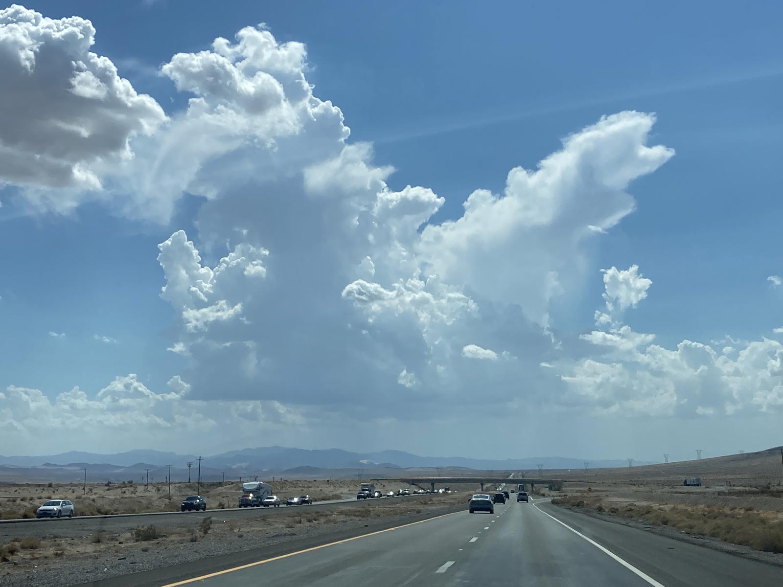
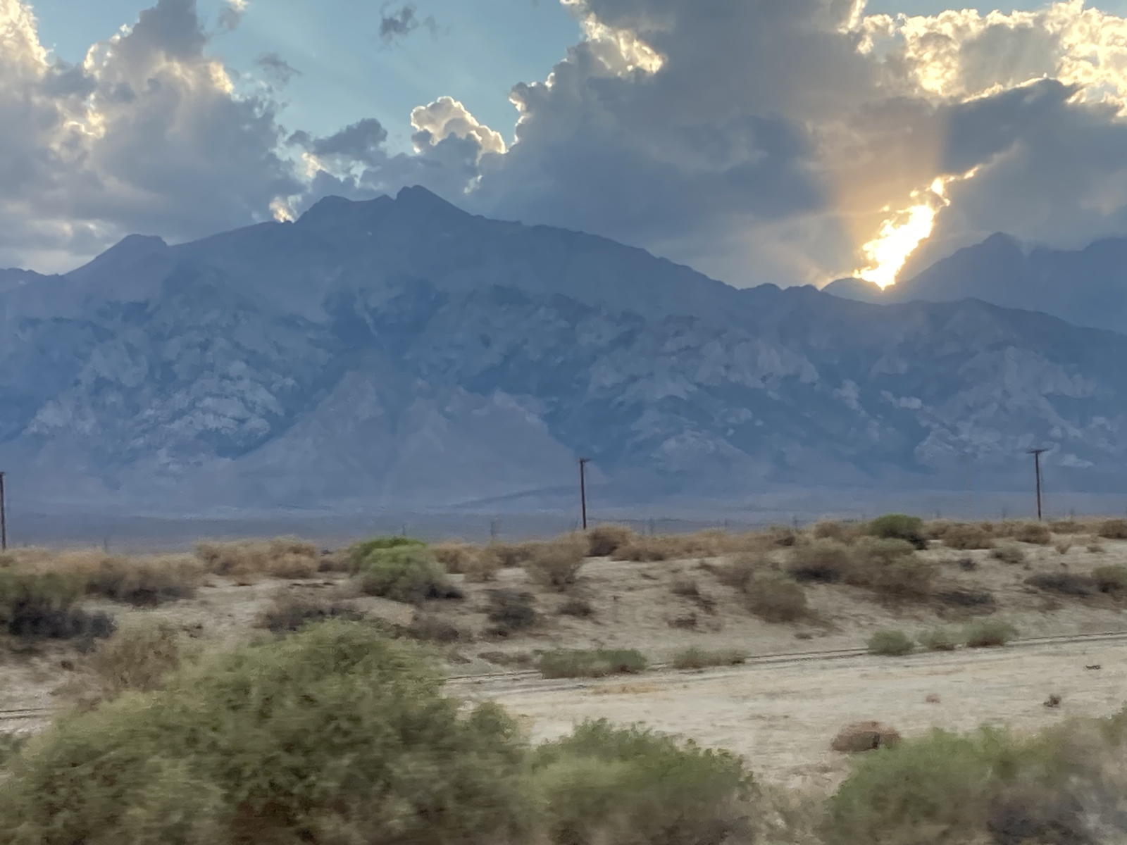
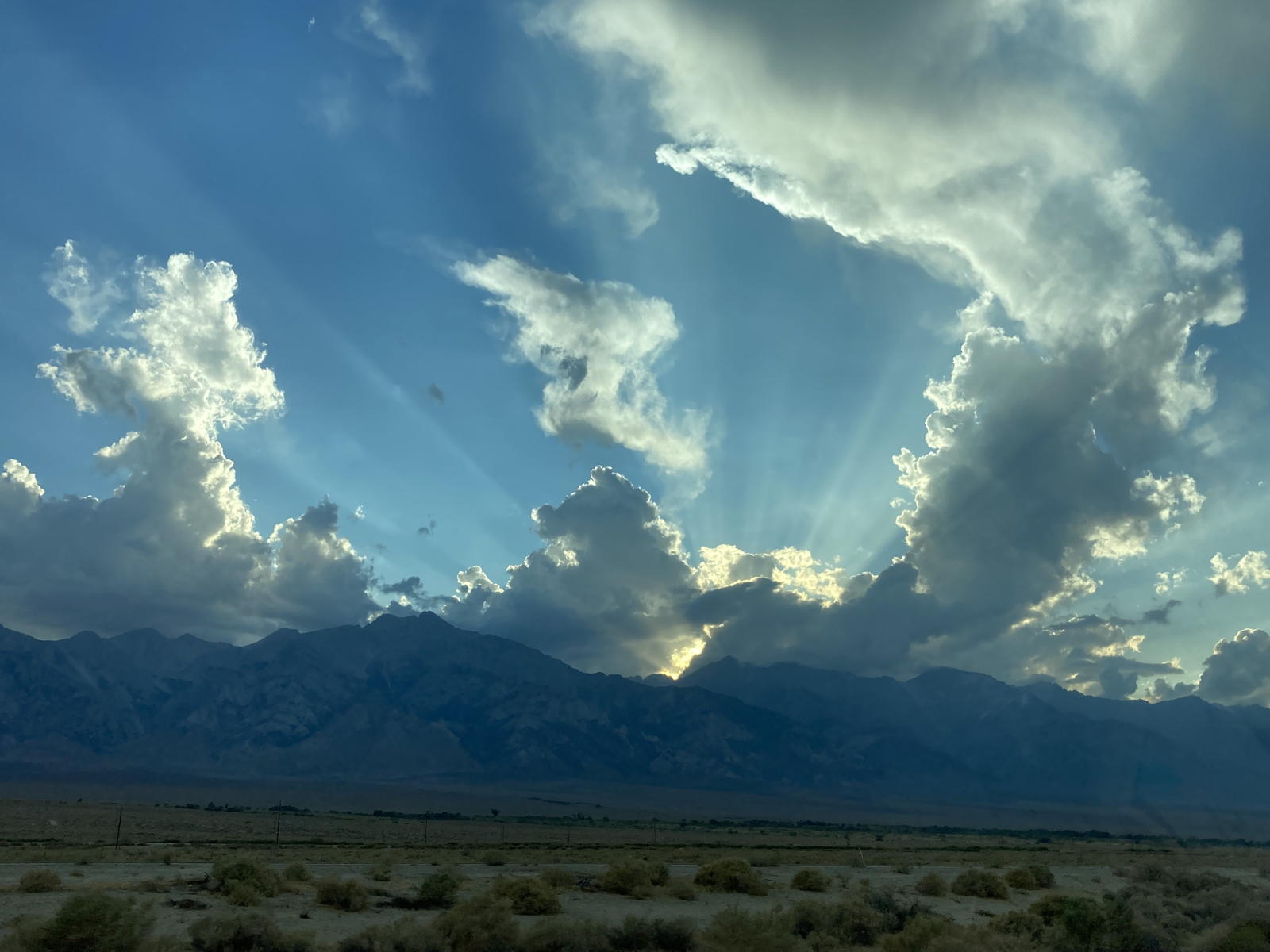
The clouds on this first day were particular impressive. Here you can appreciate the shadows they were casting the mountains to the west.
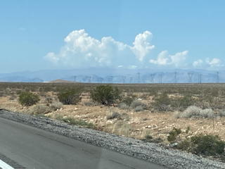
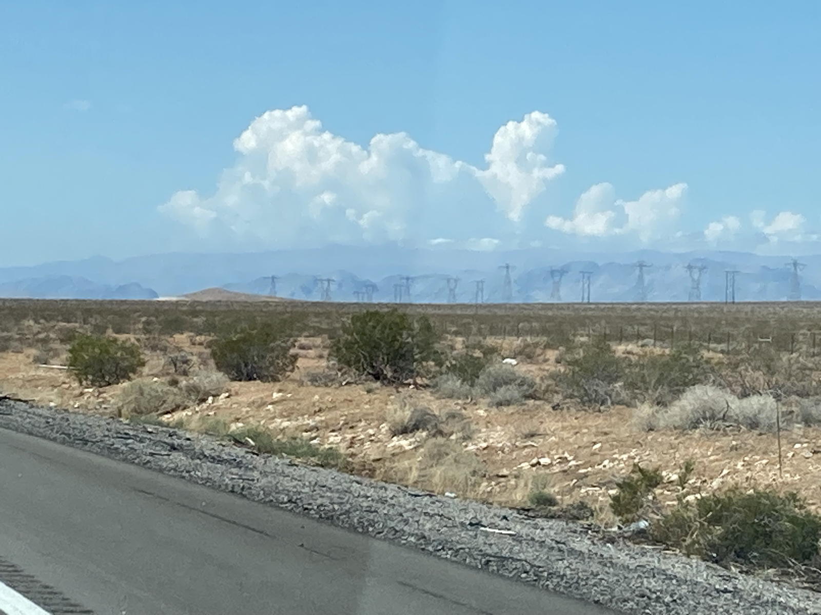
Up ahead more clouds were blossoming over the peaks near Las Vegas.
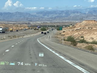
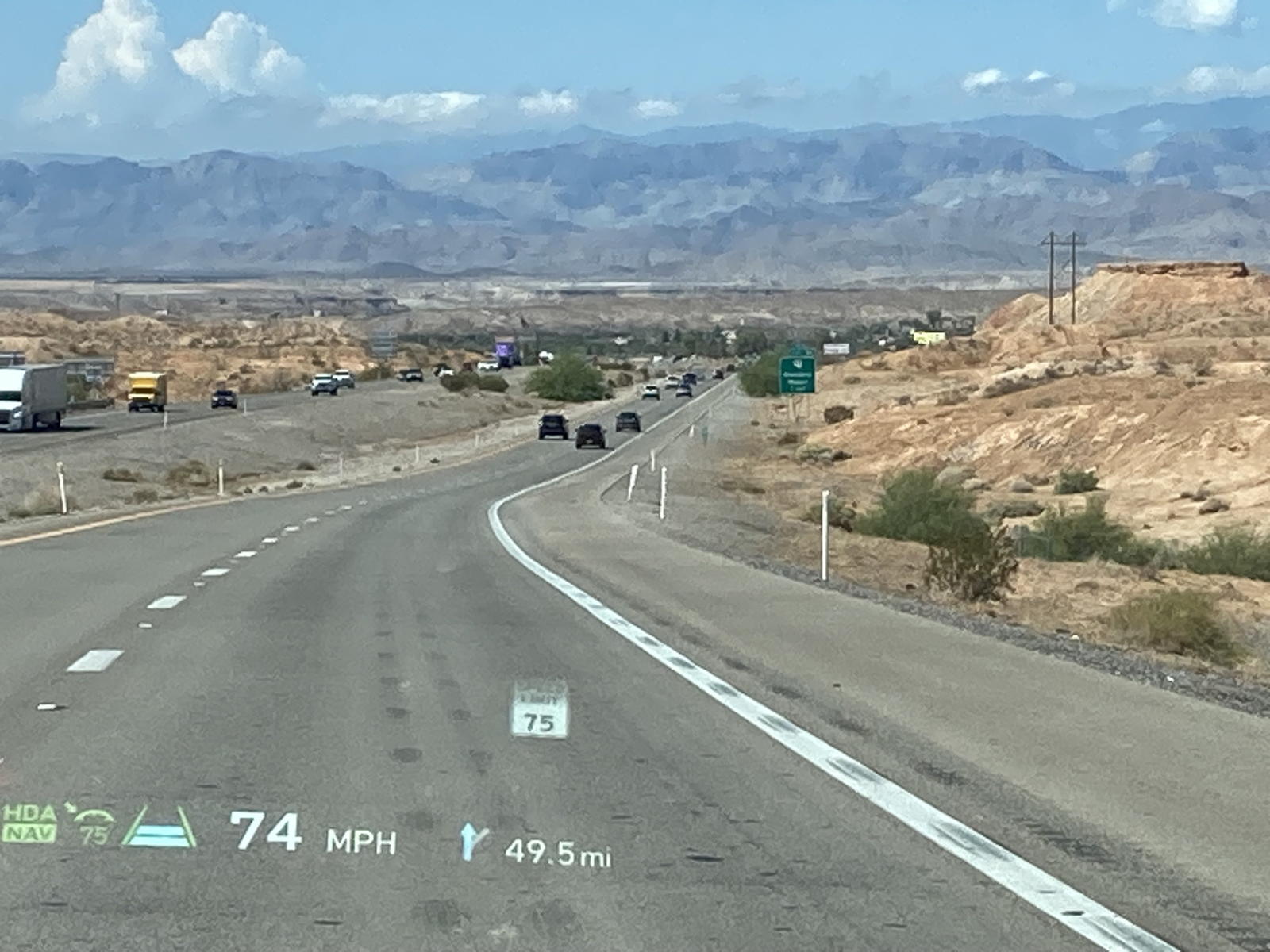
Here we are descending the highway into the town of Glendale, where I had once stopped to charge from a lowly TT-30 outlet on my way to the National Drive Electric week celebration in Las Vegas in 2015.
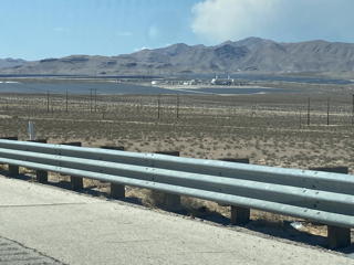
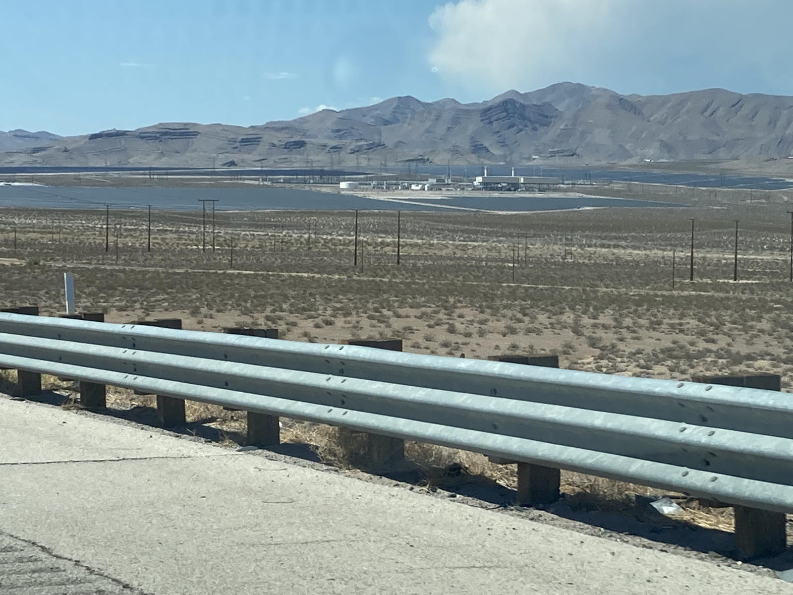
It is amazing to see how many solar farms have expanded across the desert to the north of Las Vegas. Thumbs up to renewable energy!
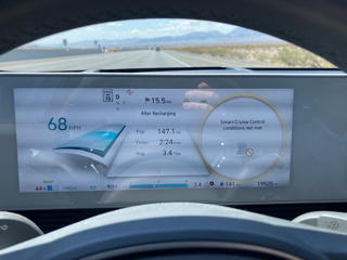
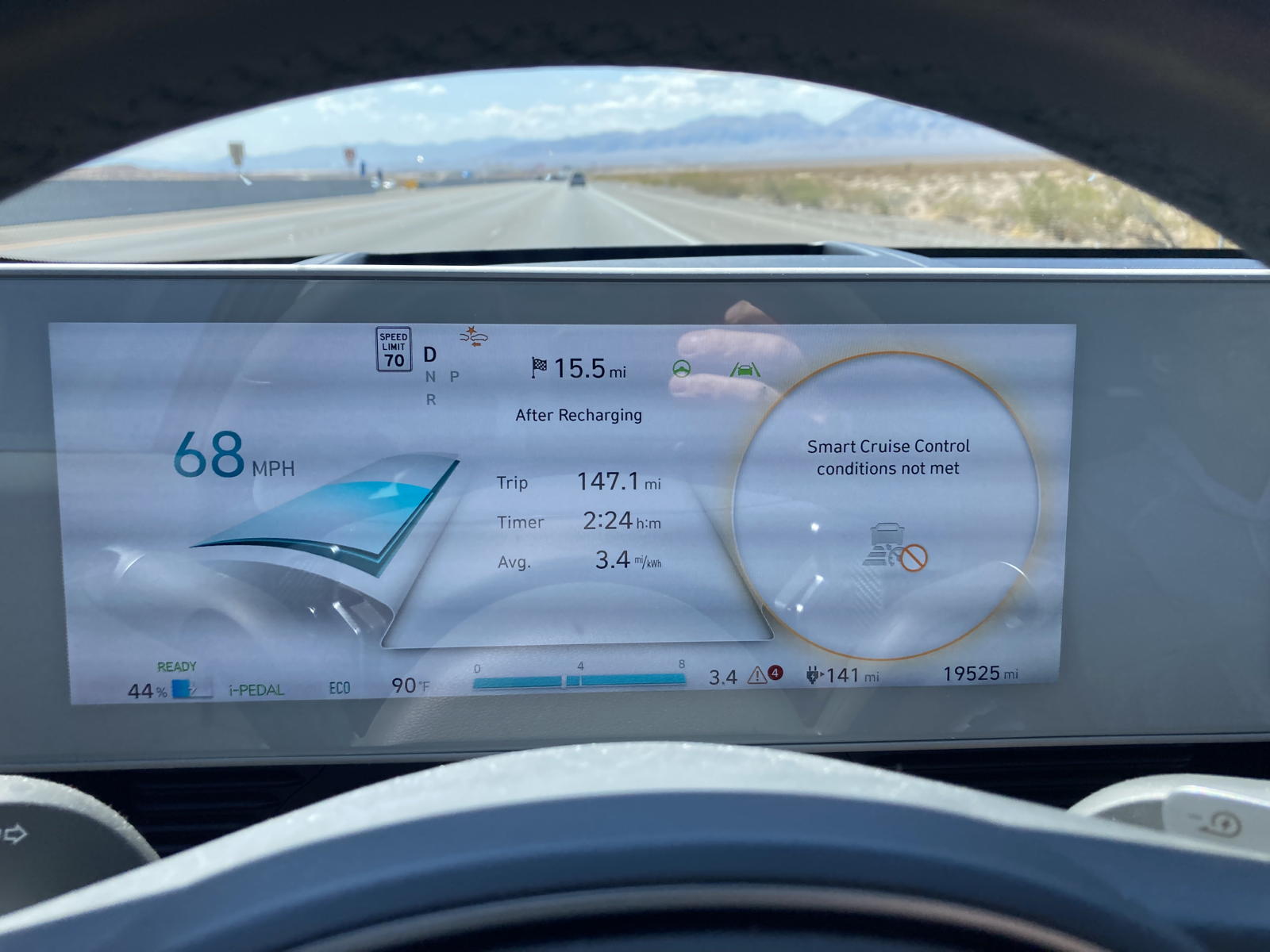
Right before reaching Primm, our cruise control and other HDA functions were suddenly disabled. This had happened to me once before on my roadtrip to Texas. I suspect that the Highway Patrol uses radar to catch speeders that bounces off our own radar sensors and temporarily shuts them down. After a while, we just turned off the cruise control and started it up again without a problem. It's odd that this happens!
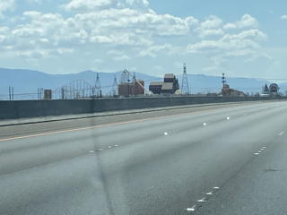
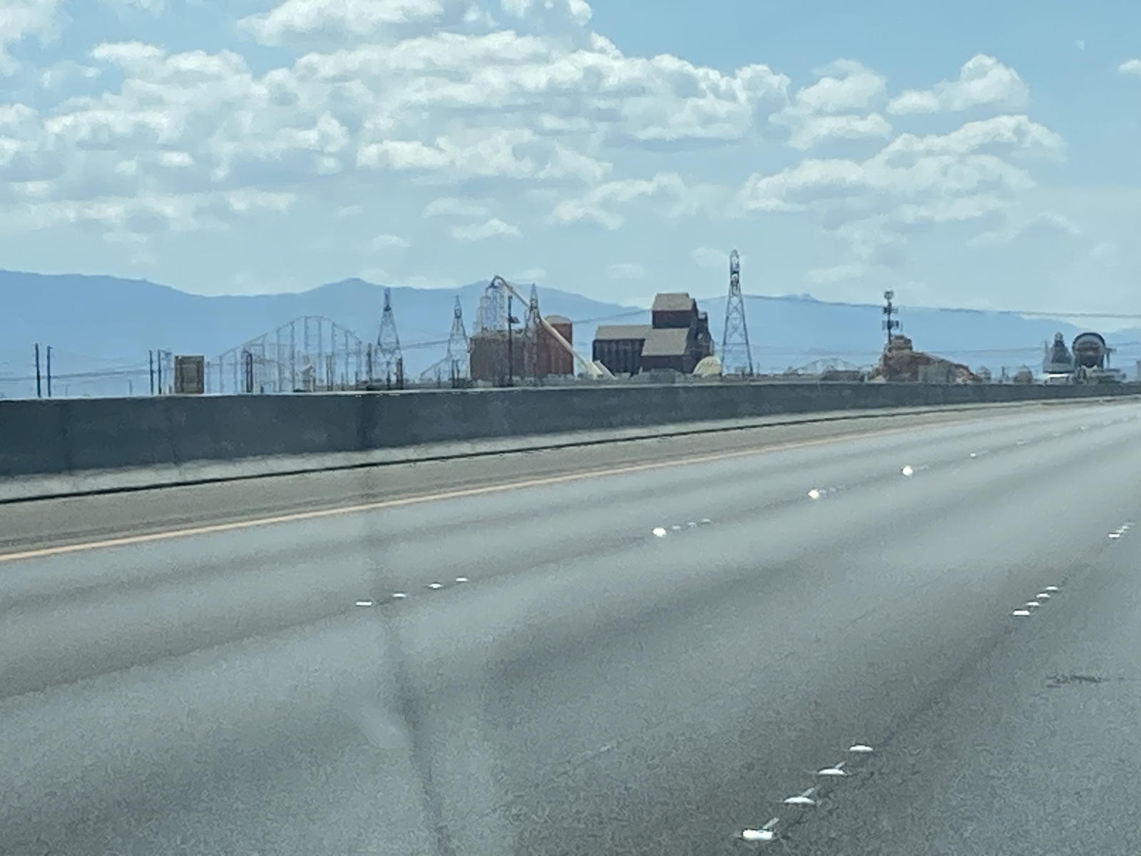
Here we are arriving in Primm with its defunct roller coaster.
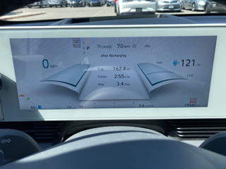
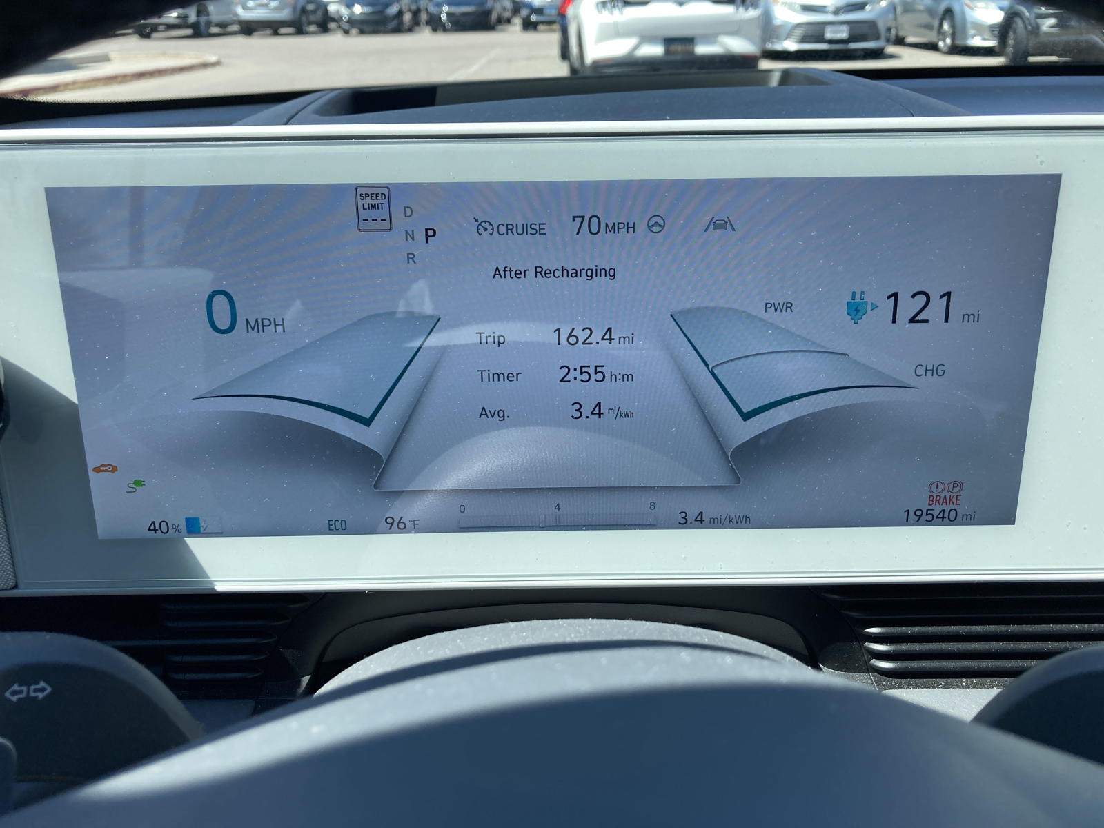
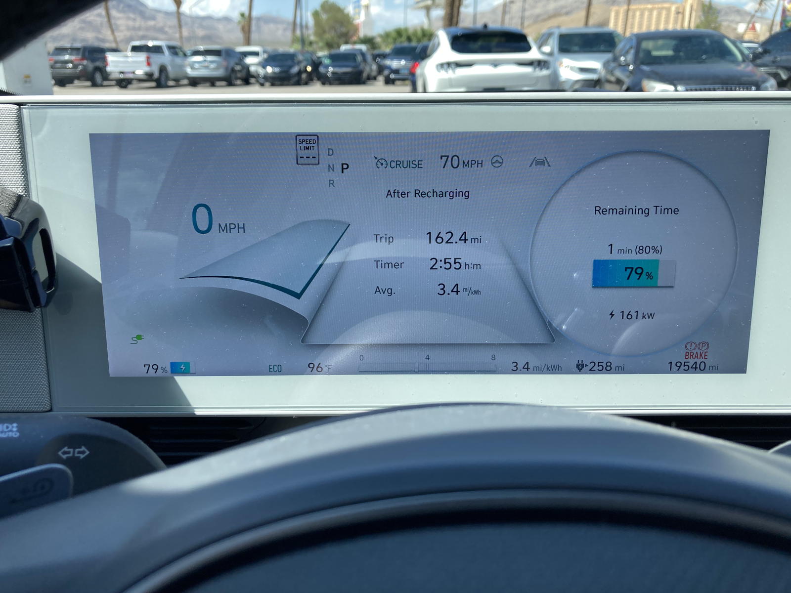
As you can see, we arrived in Primm with 40% left in the battery, not the 22% predicted earlier. I'm noticed that initial navigation predications are almost always lower than when we arrive at our destination.
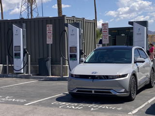
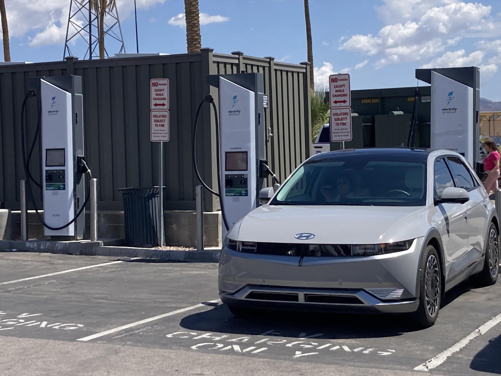
We were the only EV plugged in, although the entire parking lot was packed to overflowing, which we'd never seen before.
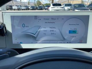
Our charging rate was still at an impressive 161 kW at the end of the session.
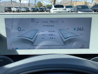
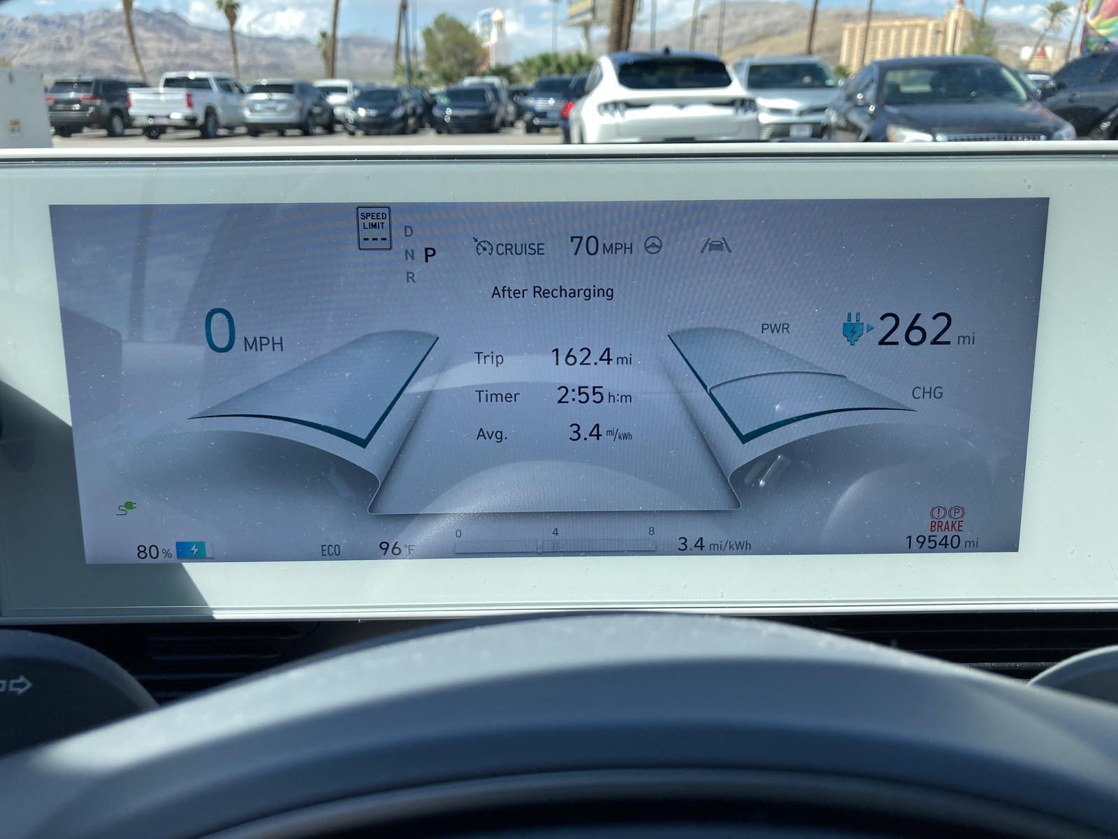
The guess-o-meter now estimated a range of 262 miles.
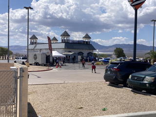
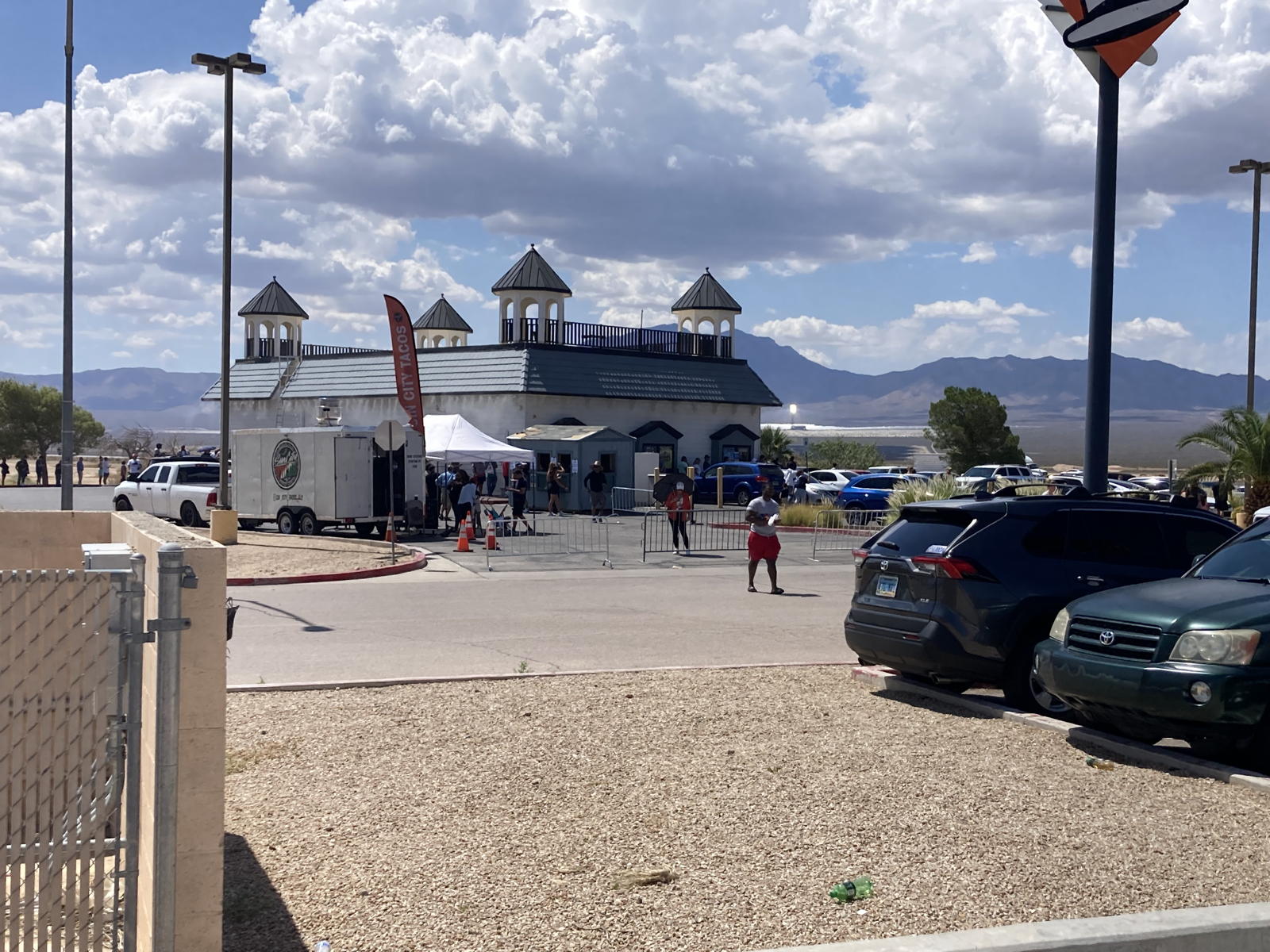
We discovered the reason why the lot was packed: people were lining up at a lottery store in anticipation of a $3 billion payoff the following evening.
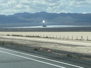
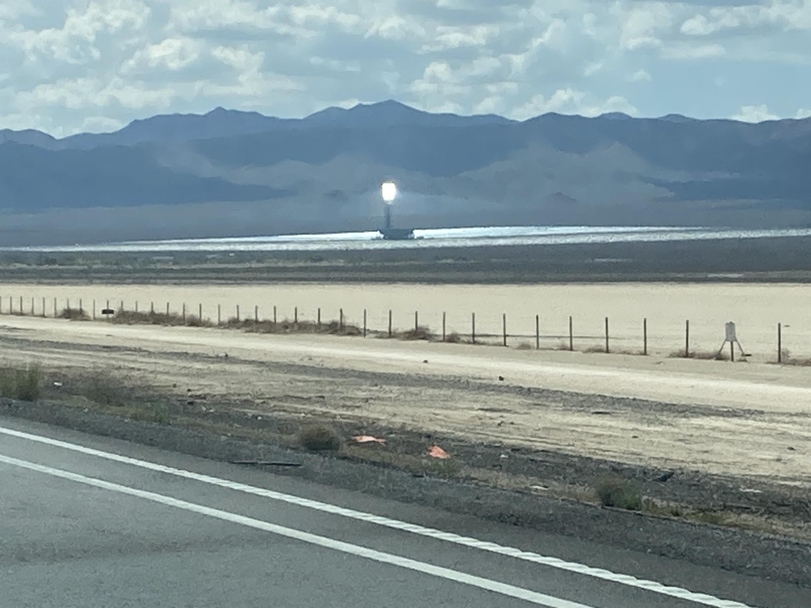
Like always, we could see the thermal solar towers when crossing into California.
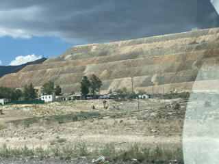
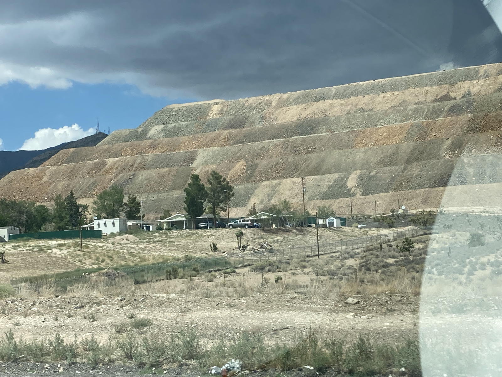
Beyond that, we passed the mining site with sculptured mounds like a Mayan pyramid.
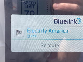
The touchscreen estimated 22% upon reaching our next stop in Barstow.
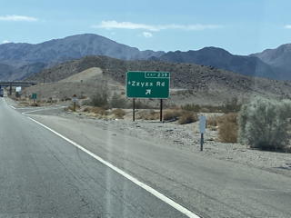
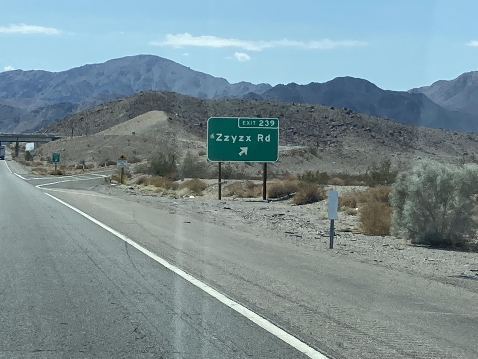
We pass the exit that always gives me a laugh.
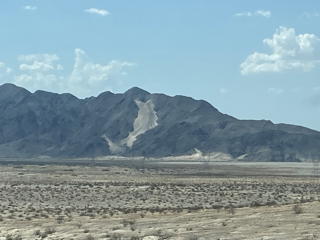
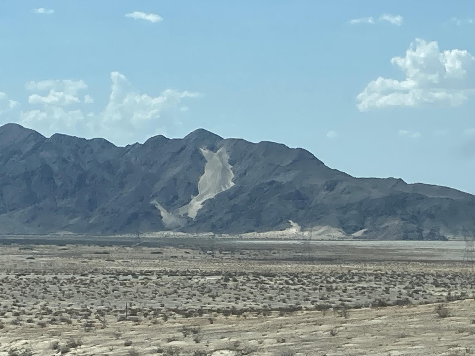
Lots of the mountains in this stretch have colorful outcroppings.
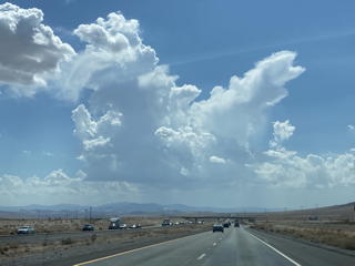
As I mentioned above, we saw more impressive clouds in the horizon.
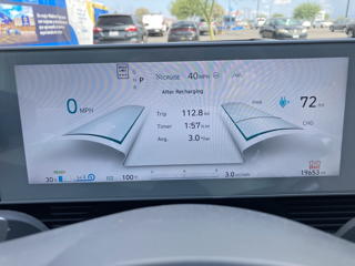
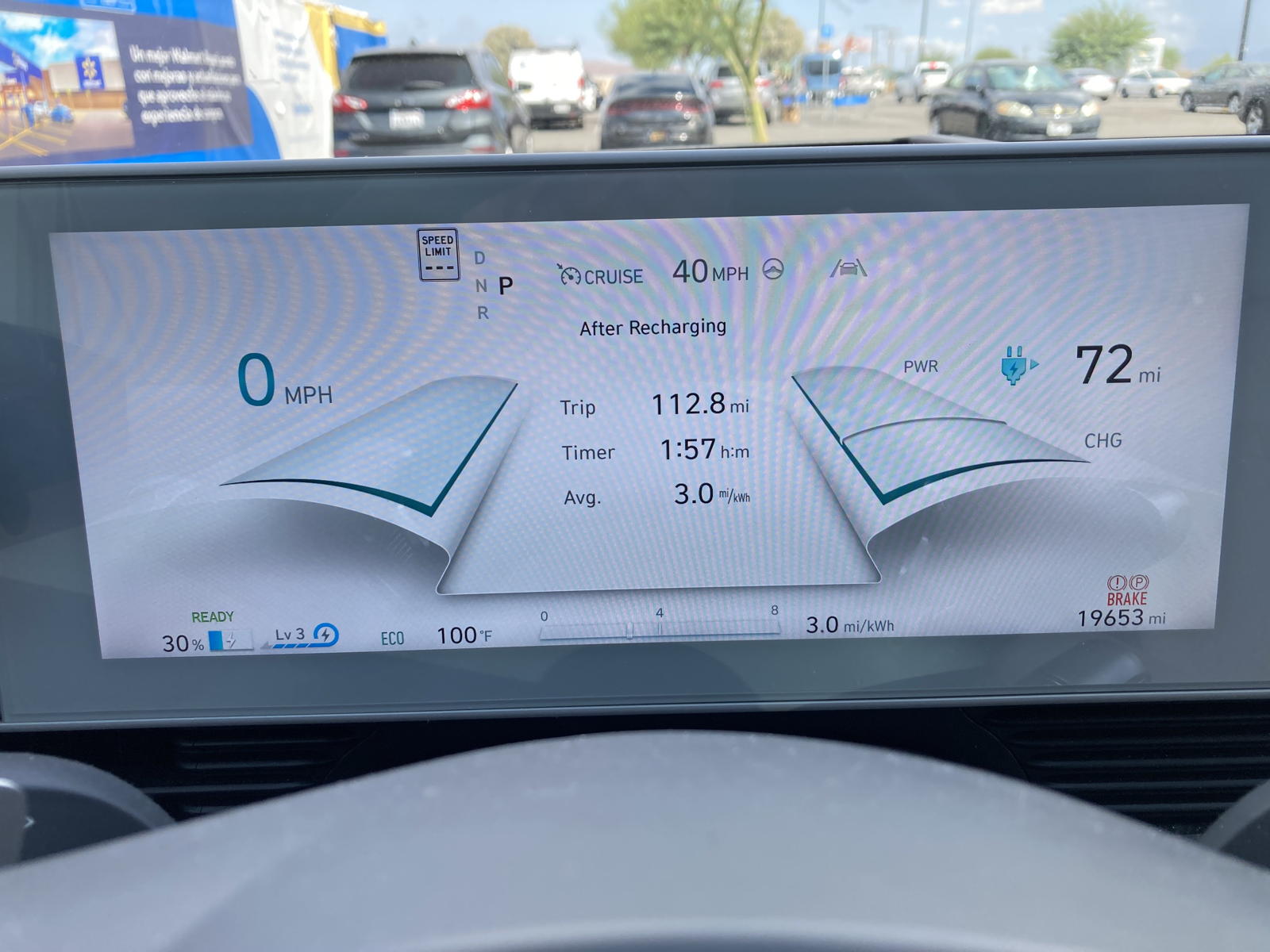
We arrived in Barstow with 30% —not 22%— left in the battery.
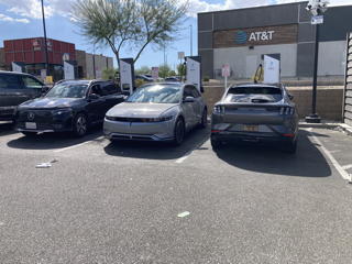
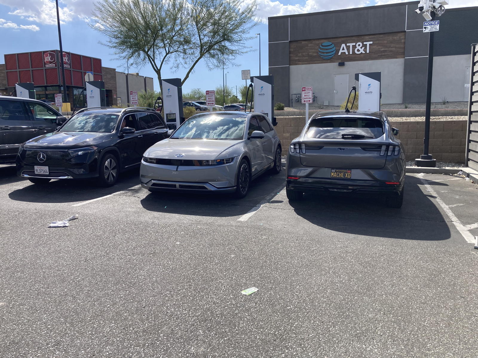
As usual, the site was packed, but we were lucky to find one spot unoccupied.
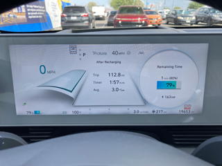
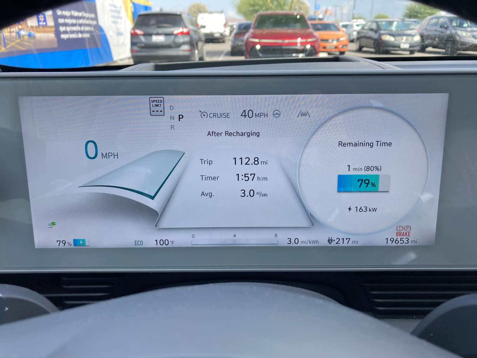
The charge rate was still at 163 kW when we uplugged.
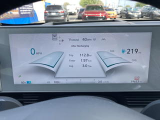
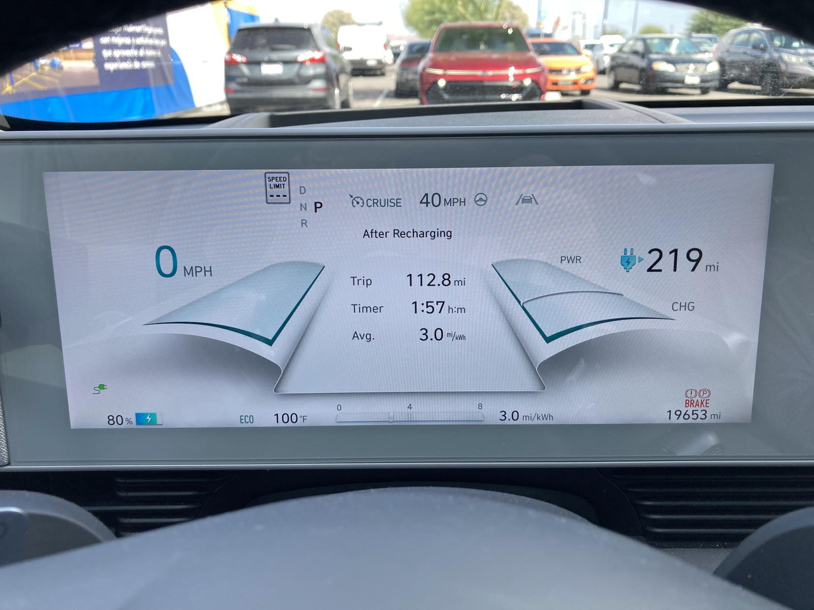
Now we had 219 miles of "guessed" range.
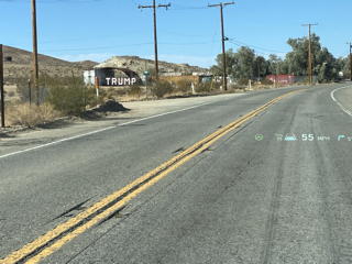
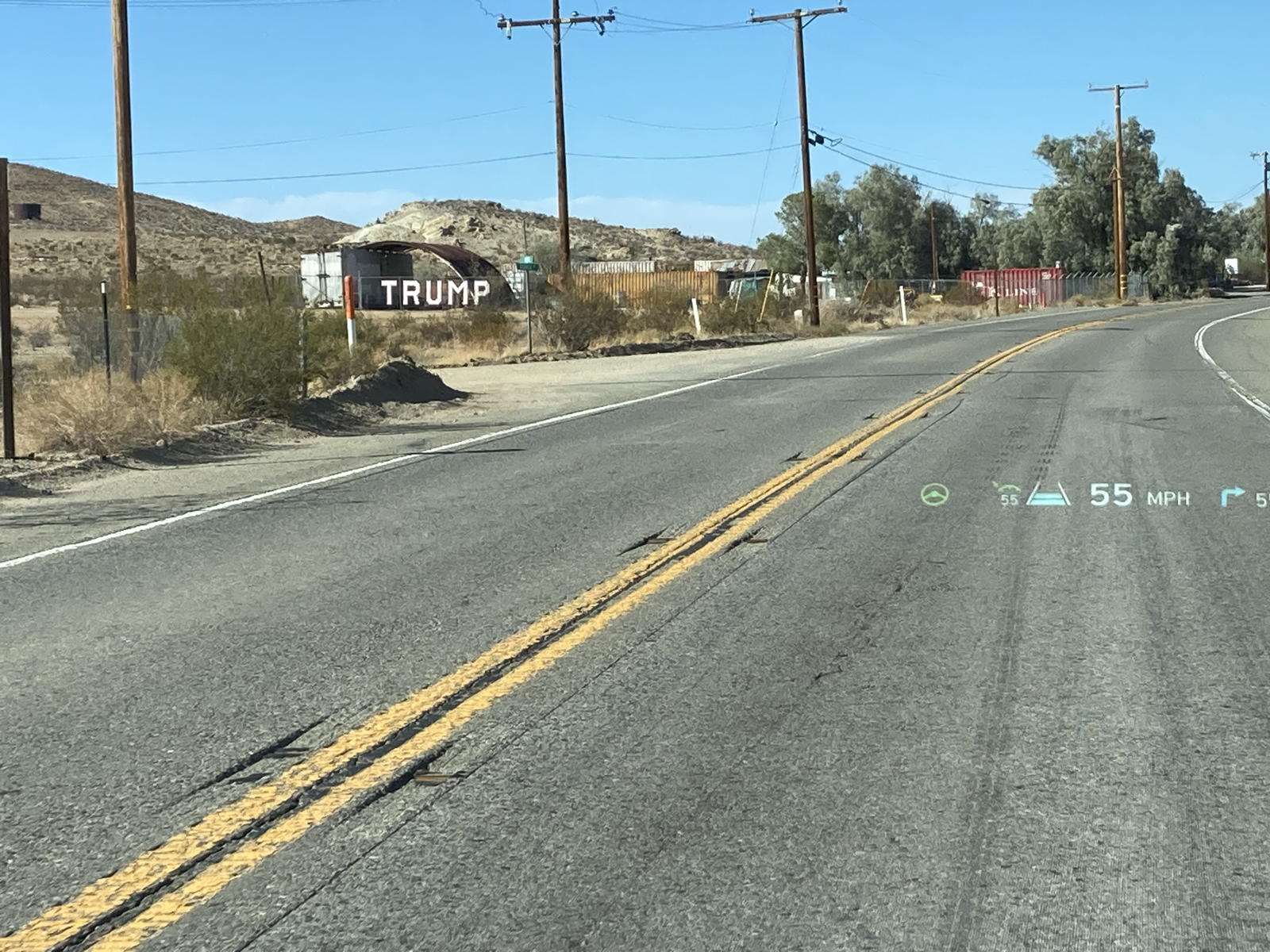
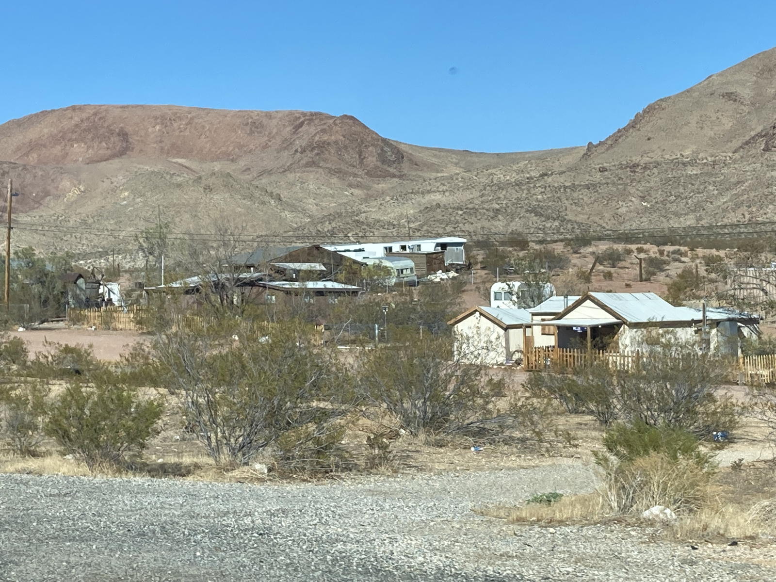
We kept driving to connect to Highway 395 and passed old, dilapidated mining towns.
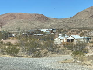
It is hard to imagine what it would be like to grow up in these abandoned communities.
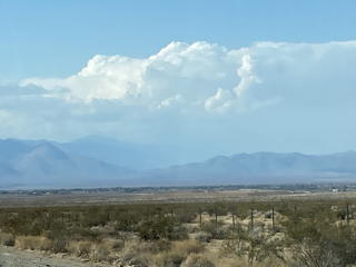
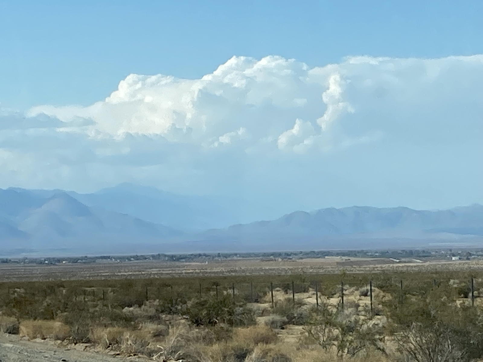
We caught our first glimpse of the Sierra Nevada, again bedecked with billowing clouds.
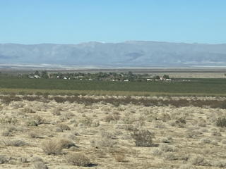
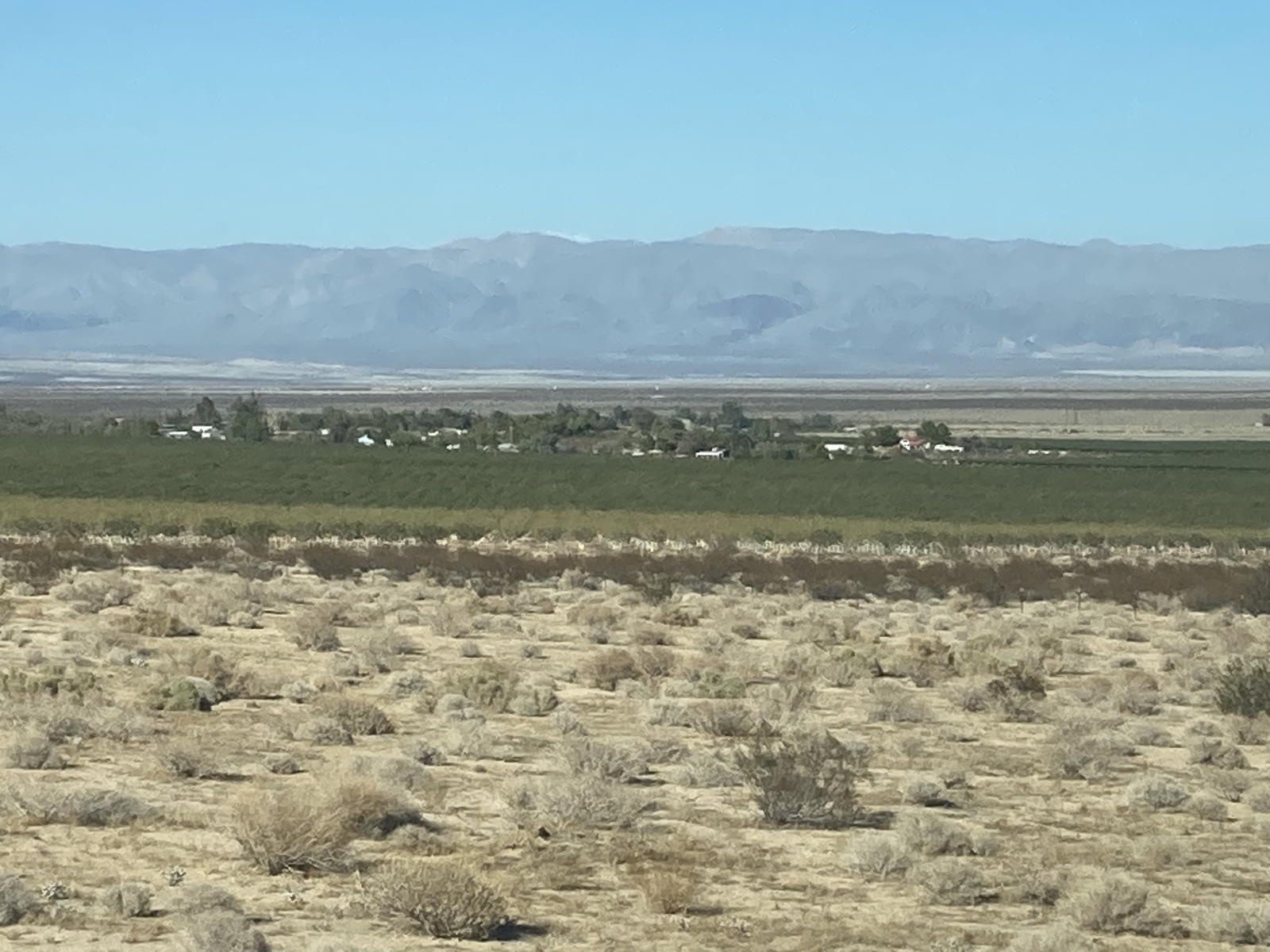
We drove past some green fields in Inyokern, where we’d charged in the past with our previous Deplorian swasticar.
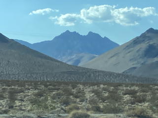
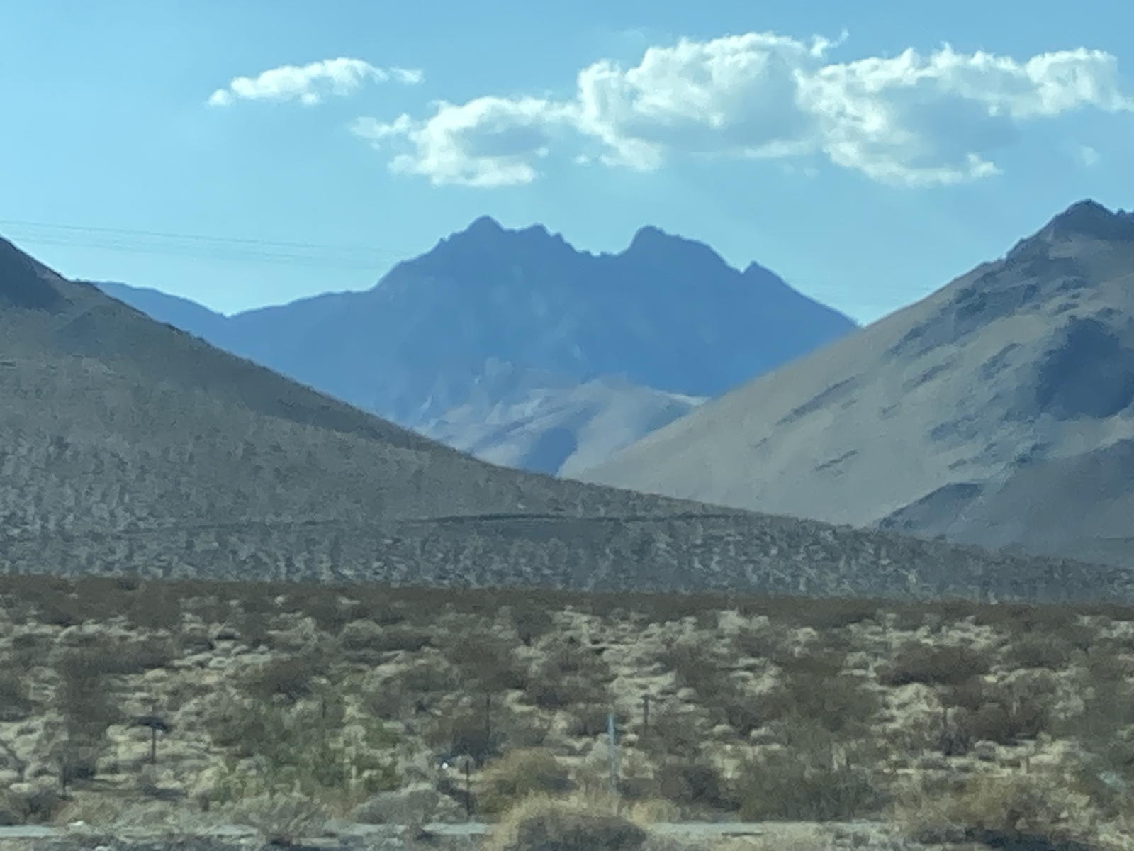
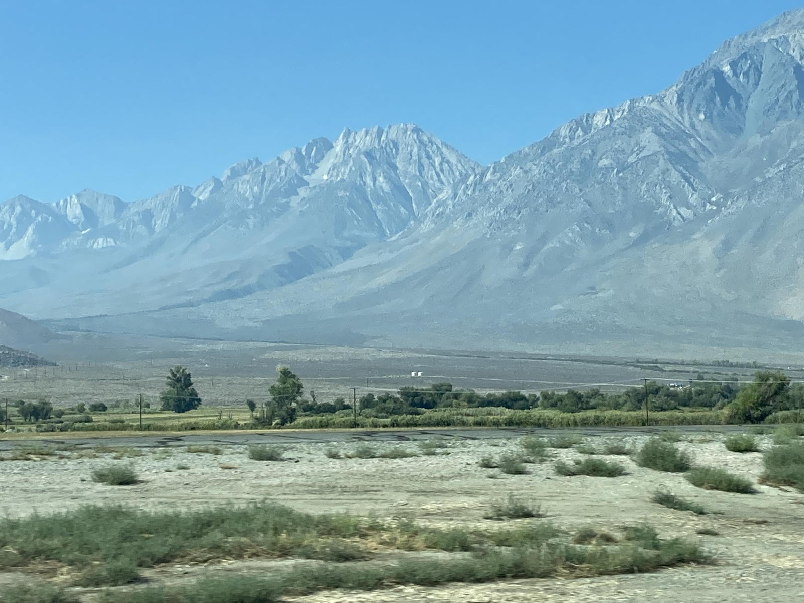
We started to see some of the higher peaks in the Sierra Nevada.
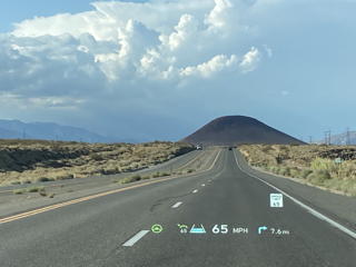
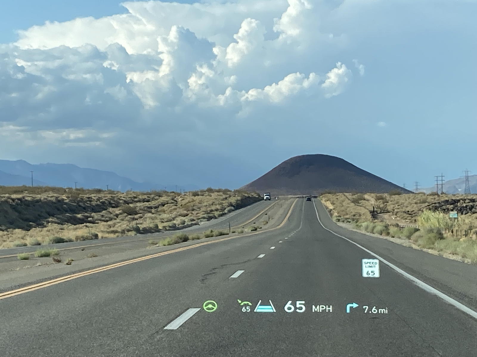
Looming ahead was a dormant volcano cone that has spread lava over the landscape.
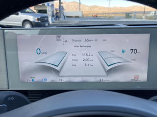
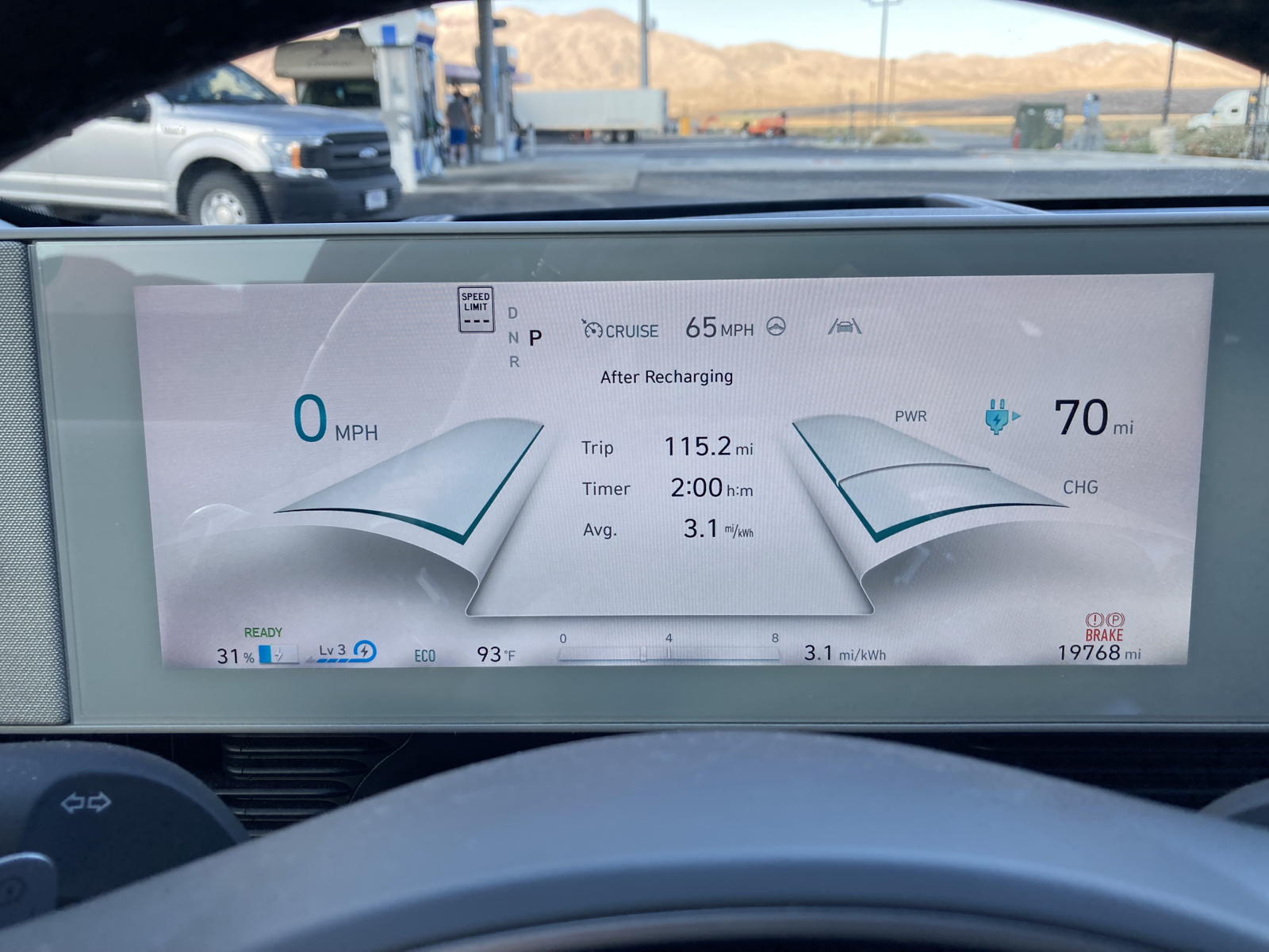
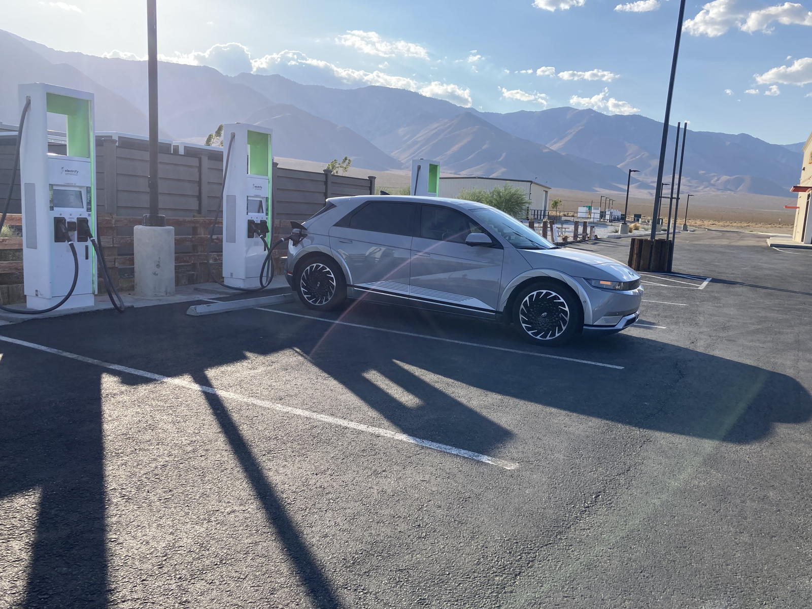
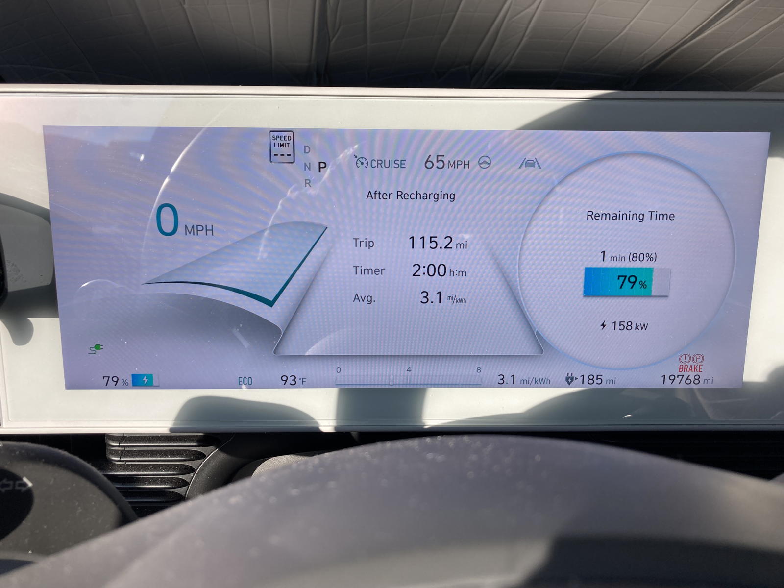
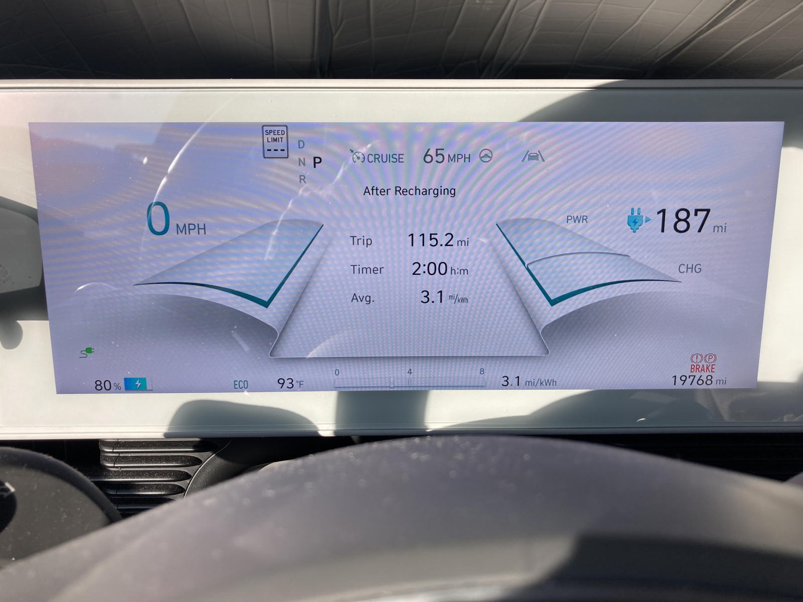
After 115.2 miles we arrived at the chargers in Coso Junction.
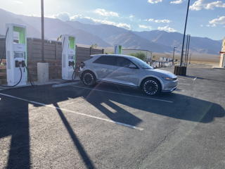
It's a rather isolated location, but one that not only has Electrify America chargers, but also several newly built Superchargers in the background.
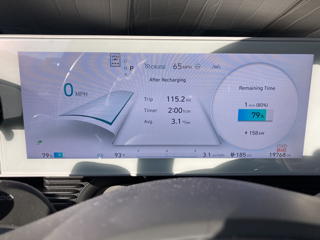
158 kW were still feeding into the battery at the end of the charging session.
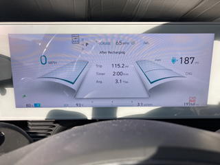
The guess-o-meter now showed 187 miles of range.
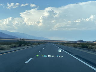
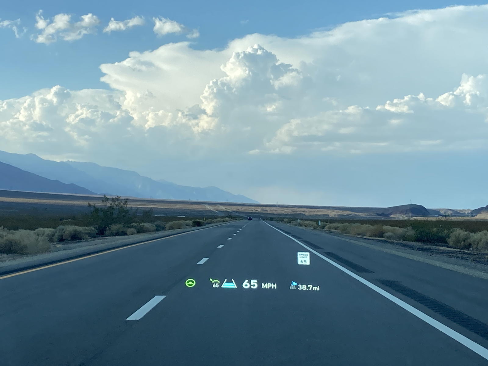
More clouds were looming ahead, probably dumping rain over Bishop where we would spend the night.
I narrate where we are at in the journey as we head to Bishop.
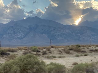
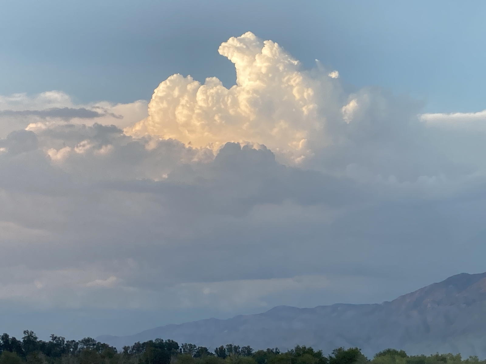
I warned you that this trip was replete with impressive cloud formations…
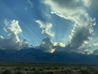
…like these…
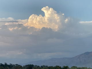
…and these…
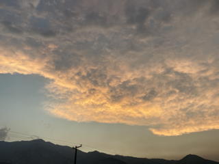
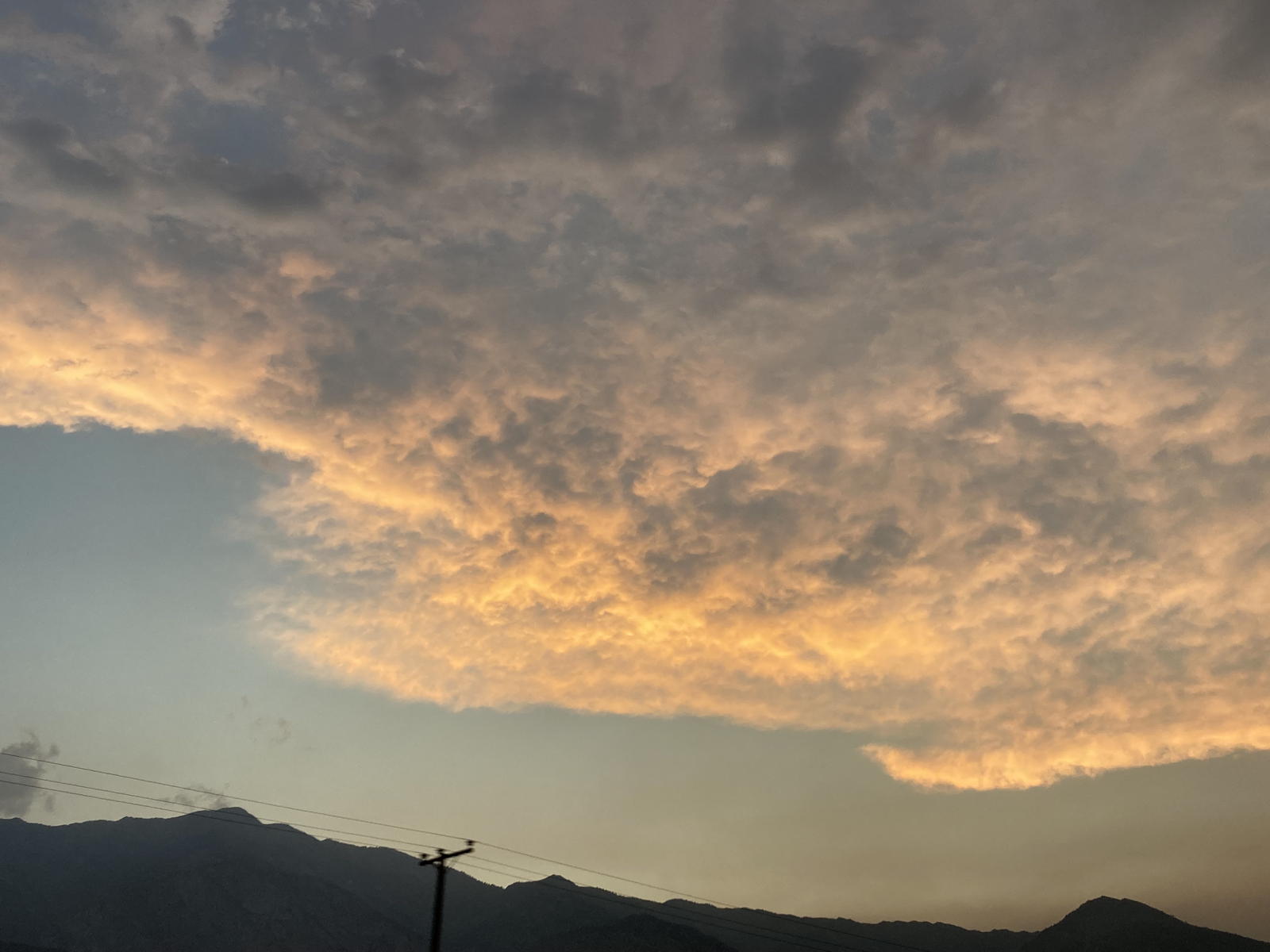
…and these as the sun set in Bishop.
The next morning Moxie and I went to charge the car, and this is a video as we started the 2nd day of our journey.
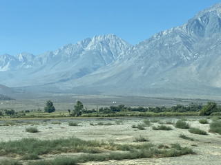
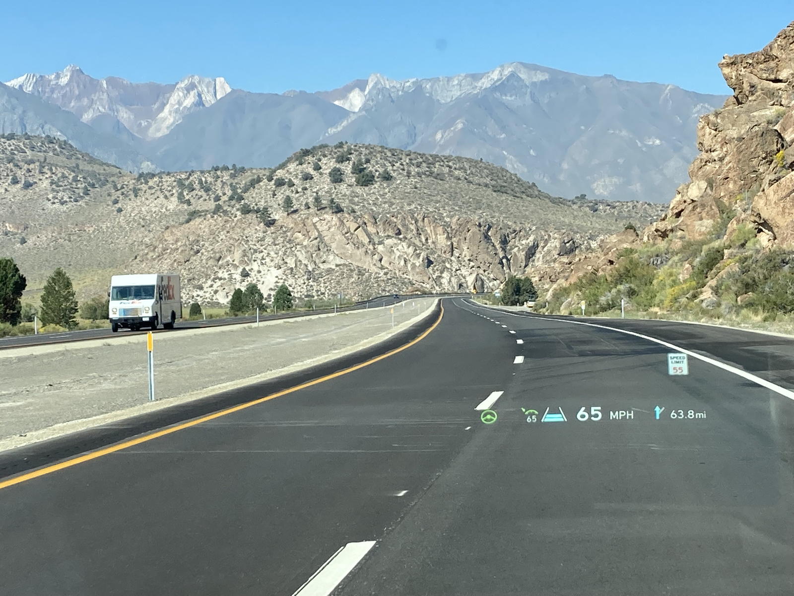
The peaks grew more impressive as we continued on.
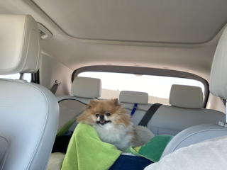
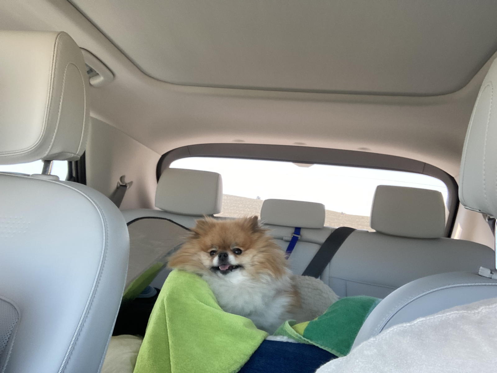
Moxie was again a happy pooch in her carseat.
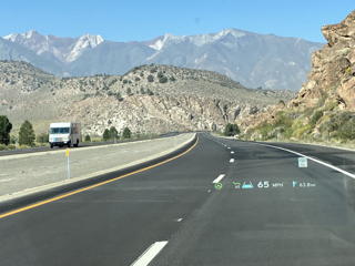
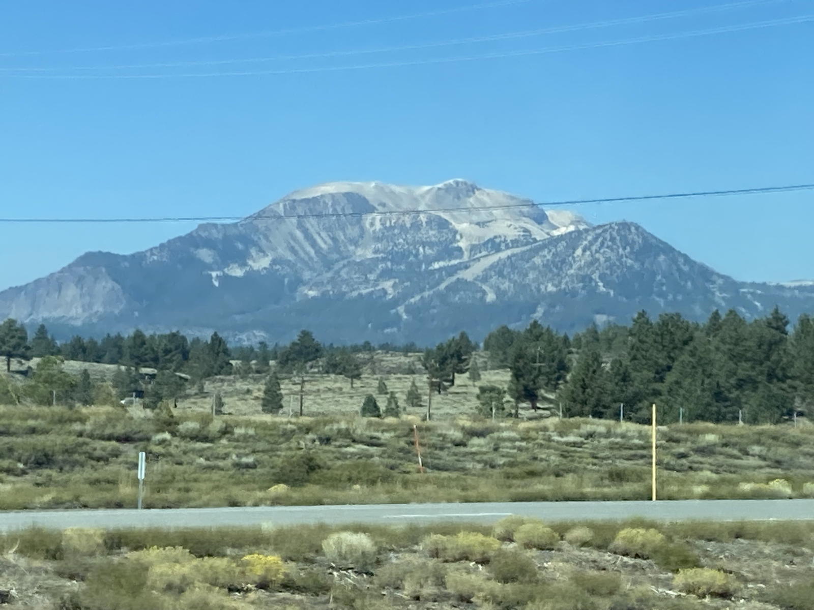
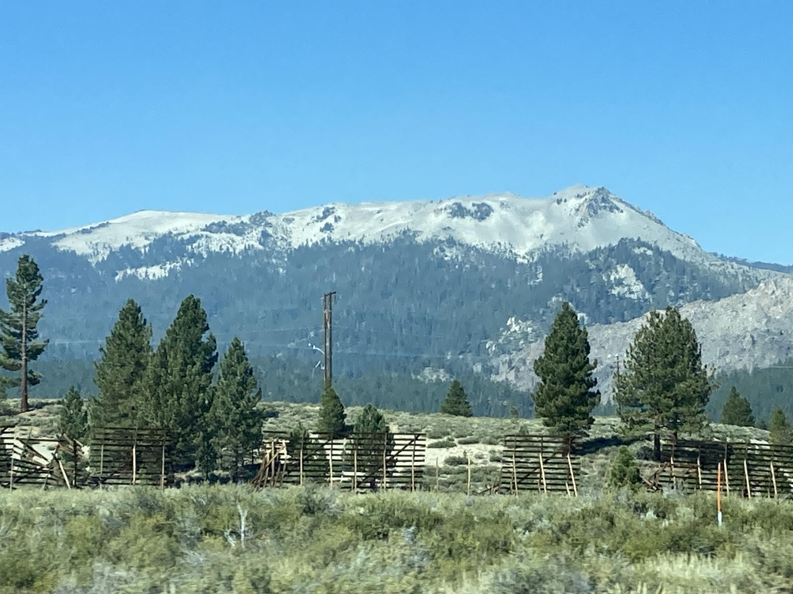
The mountains and scenery were impressive.
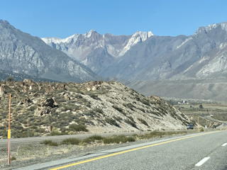
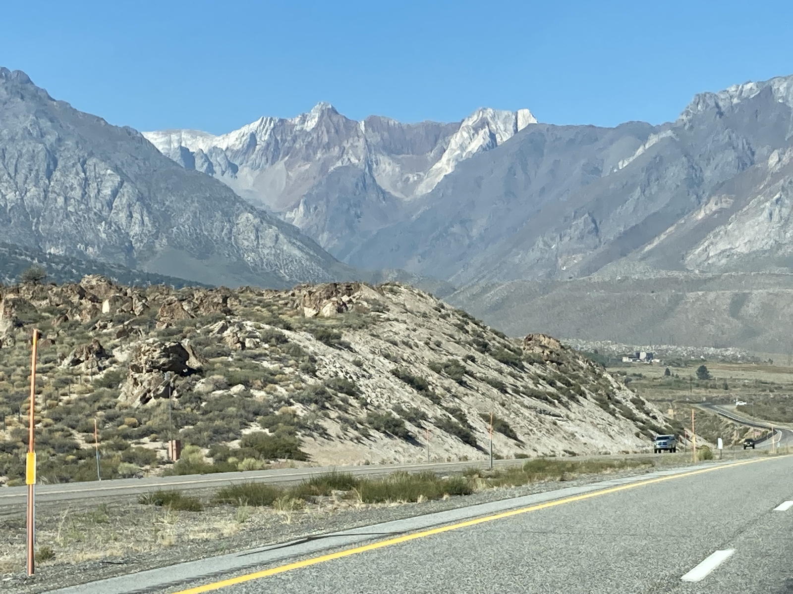
I believe that these peaks are near Mammoth.
There's nothing to narrate here. We just noticed that there were hundreds of bicyclists pedaling along this stretch of the highway. They must be part of a biking club out for a long distance rally on a Saturday.
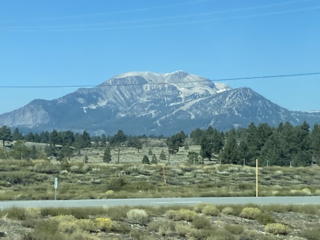
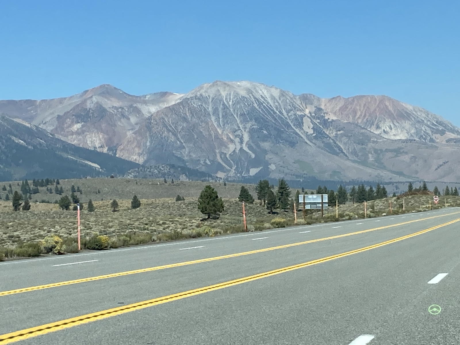
More lofting peaks in this photo…
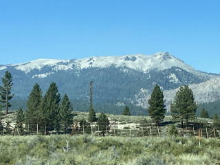
…and this one…
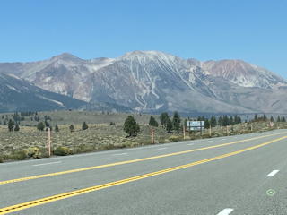
…and this one.
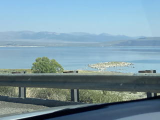
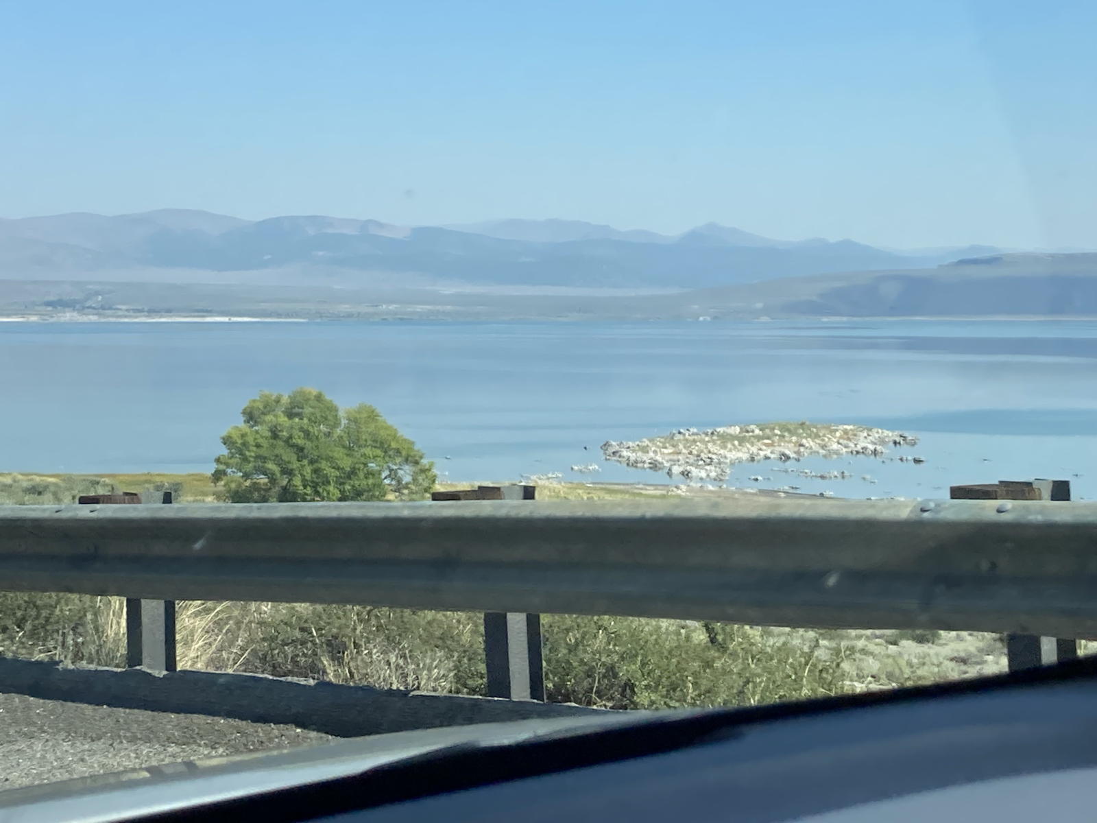
We then reached Mono Lake, where the Clint Eastwood movie "High Plains Drifter" was filmed.
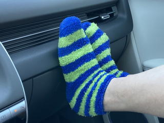
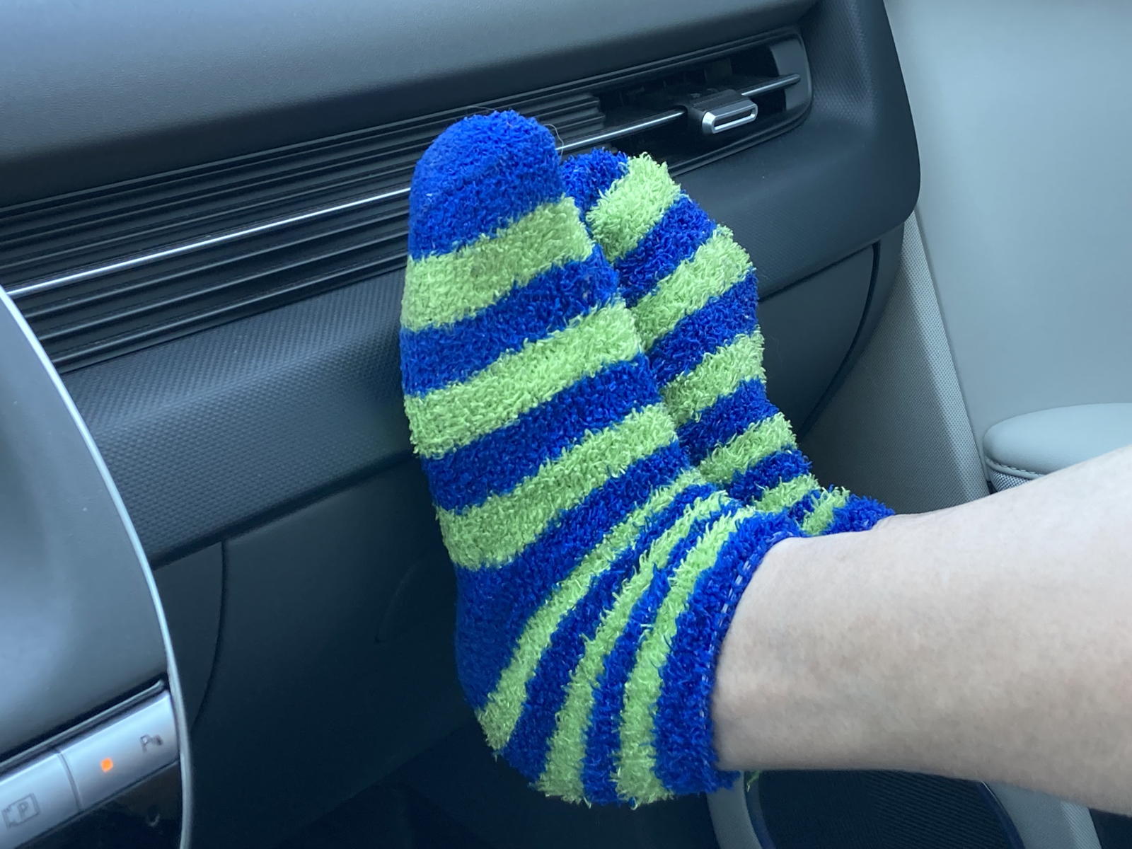
Tamara was as snug as a bug in her travel slippers.
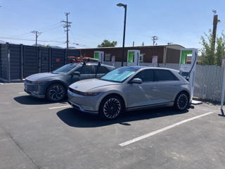
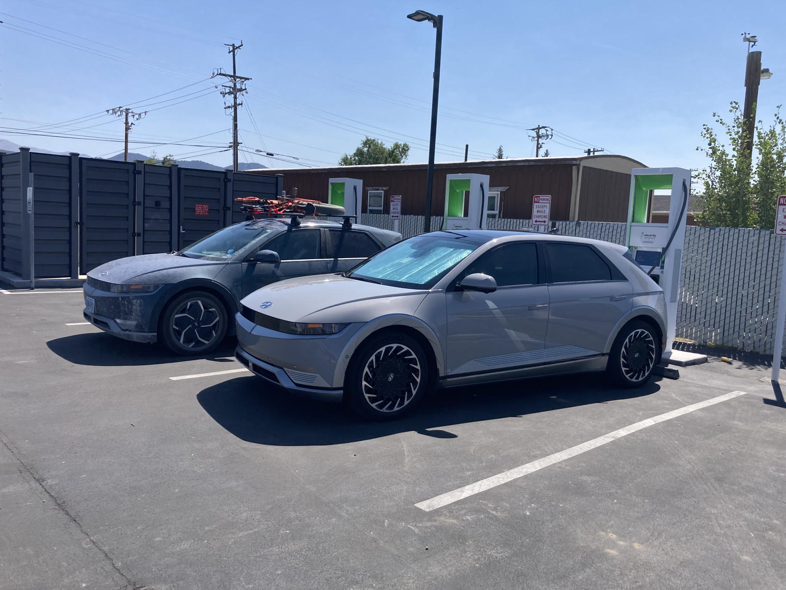
Upon arriving in Bridgeport to charge, there was another Ioniq 5 next to us that must have driven over some rough roads in even rougher weather.
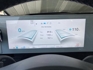
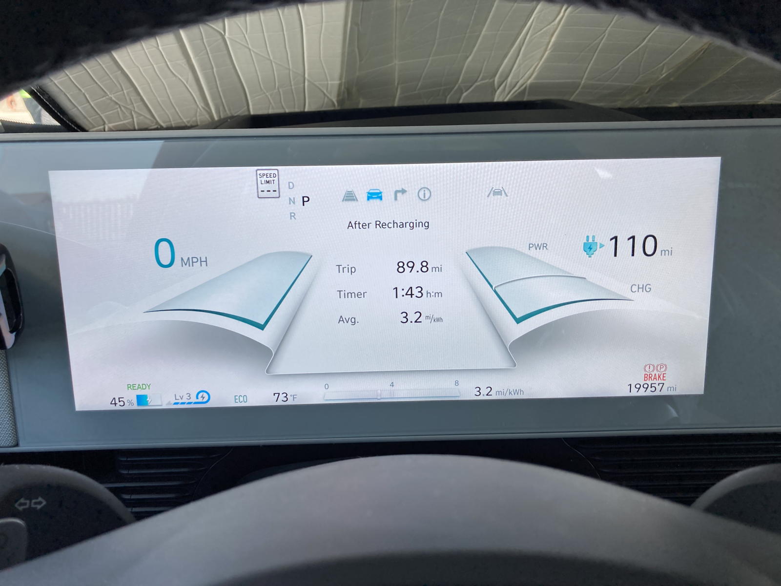
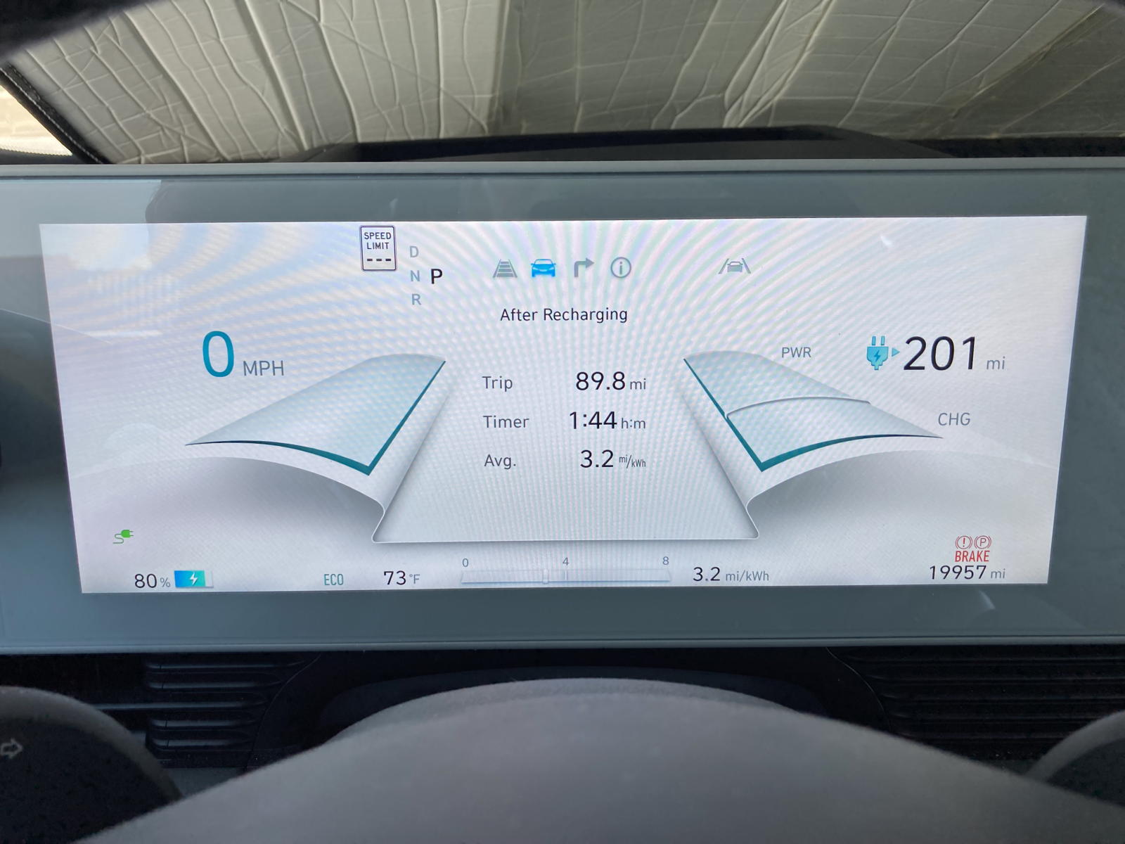
We'd arrived with 45% left, after getting 3.2 miles-per-kWh.
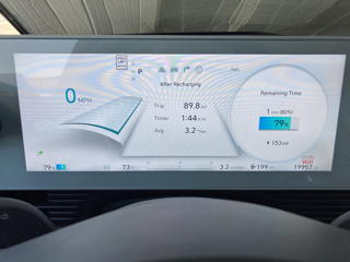
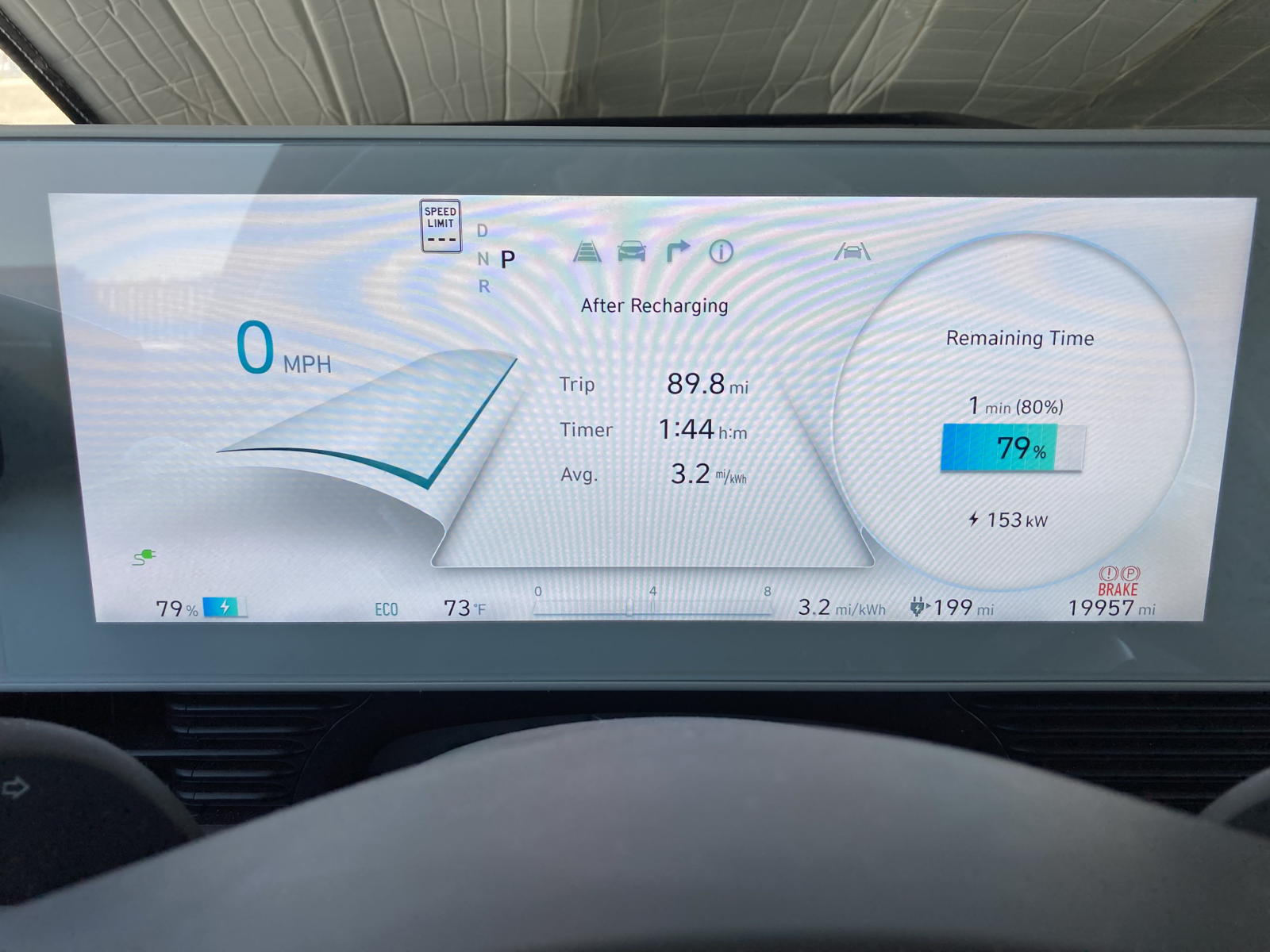
At the end of the session, the charging rate was still at 153%.
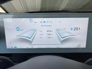
The range guesstomate was now 201 miles for the last leg of the journey.
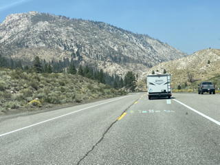
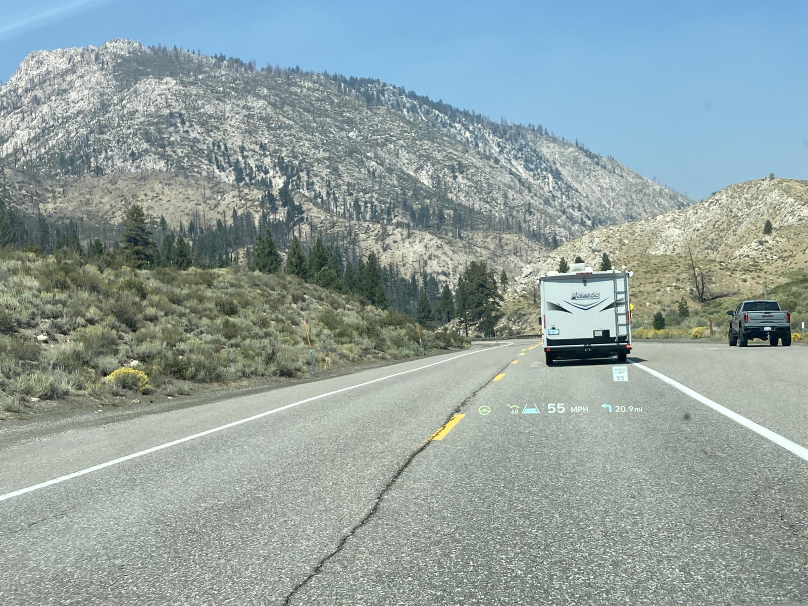
We drove alongside the Walker River toward Topaz Lake, where we'd also charged previously in our Deplorian swasticar.
I explain where we're at and what lies ahead.
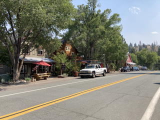
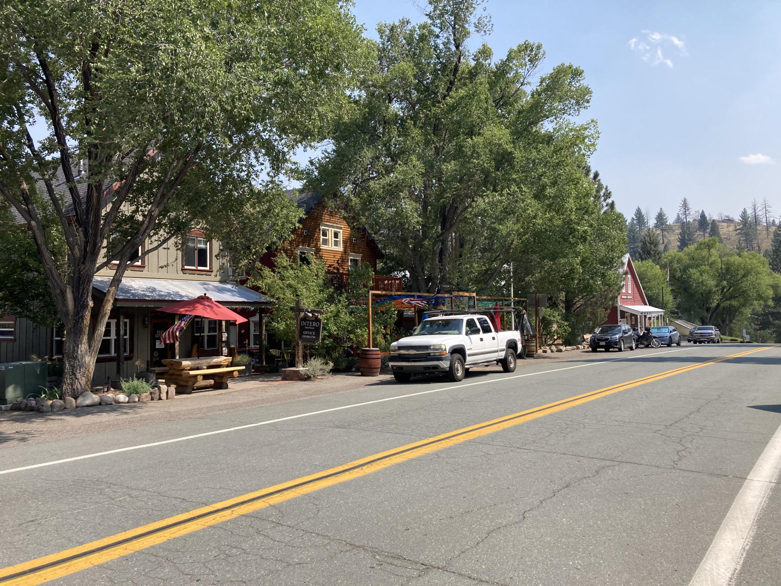
We stopped in the village of Markleville to stretch our legs.

Moxie recognized that we'd stopped here before.
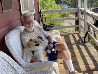
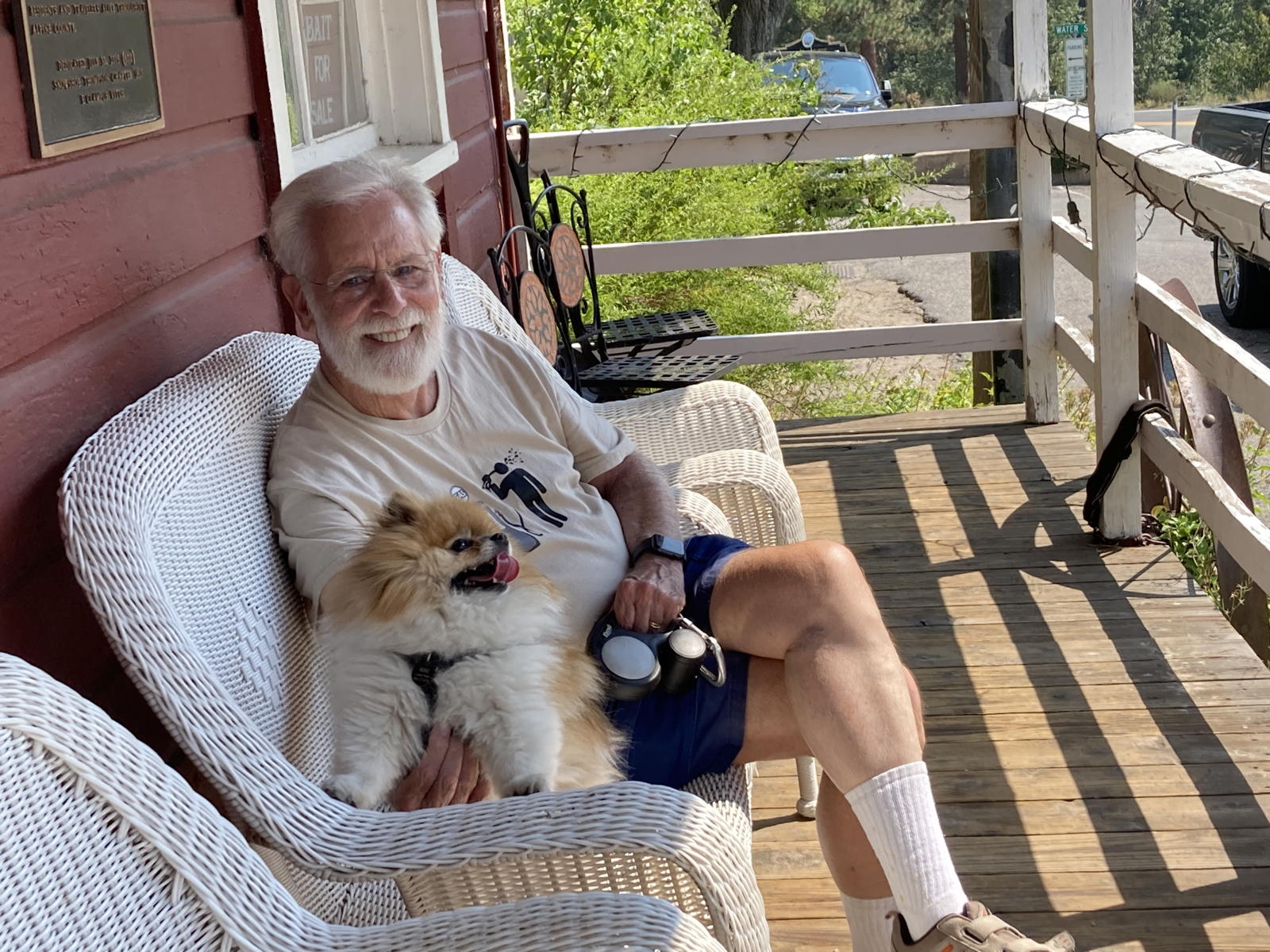
She and I rested and waited for Tamara to check out the local store.
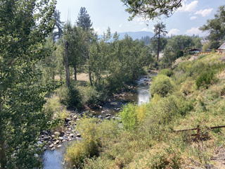
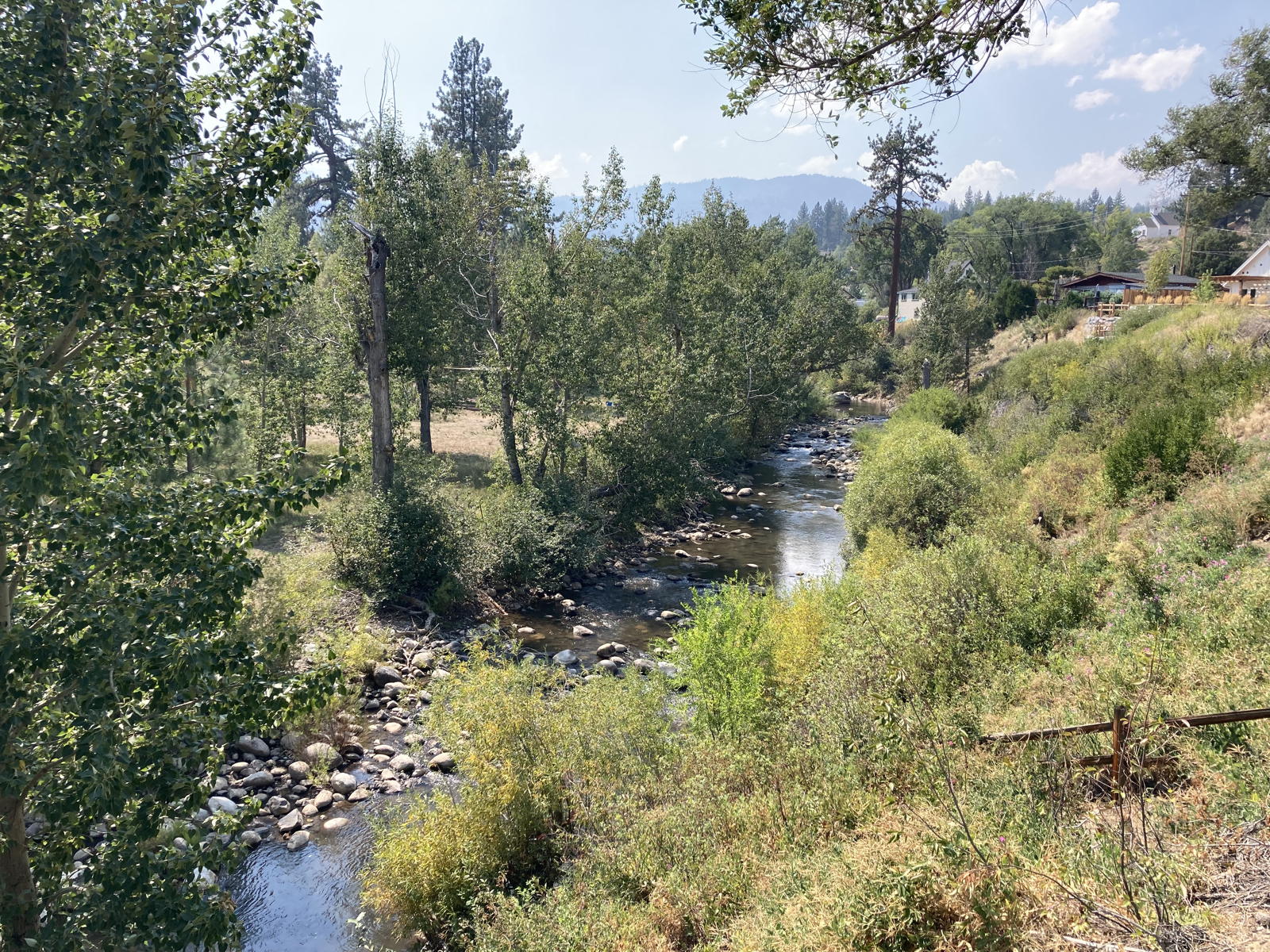
This is the river that runs by the entrance to Markleville.
Of course we took some videos while descending through the pristine forests of the Sierra Nevada.
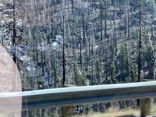
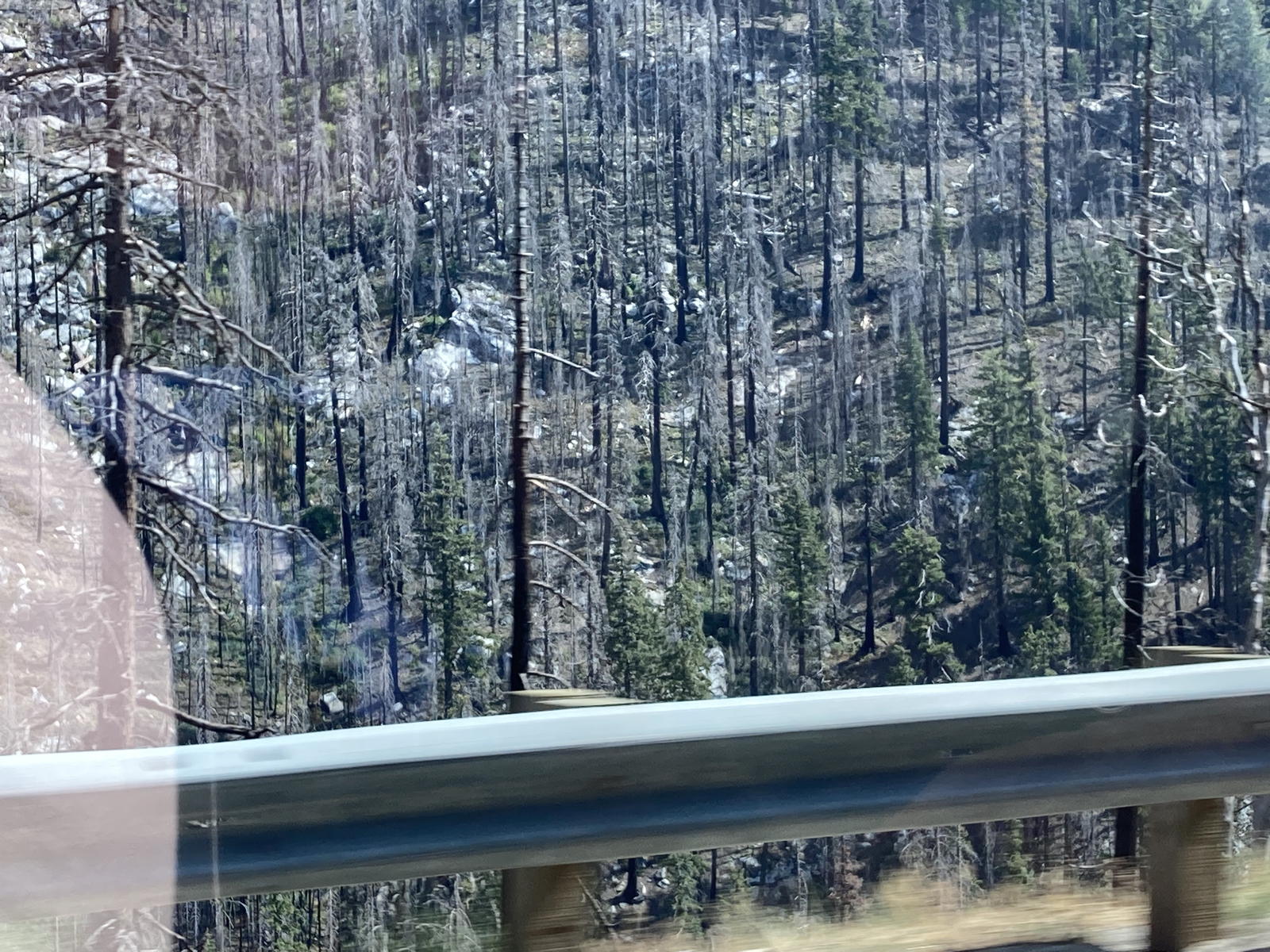
Tragically, some of these forests have been destroyed by wildfires exacerbated by the escalating climate crisis.
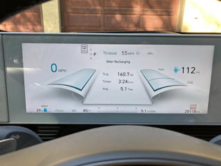
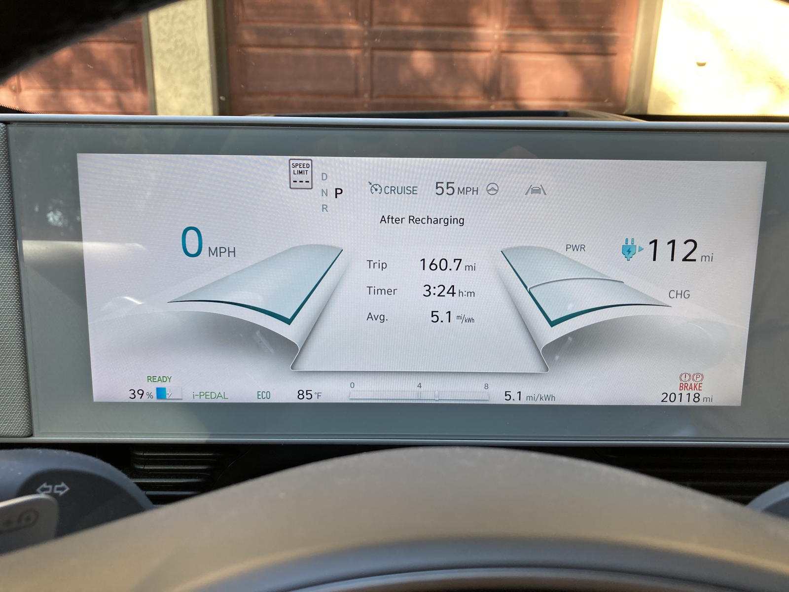
We arrived at Tamara's sister's home with an efficiency of 5.1 miles-per-kWh thanks to all the regenerative braking.
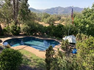
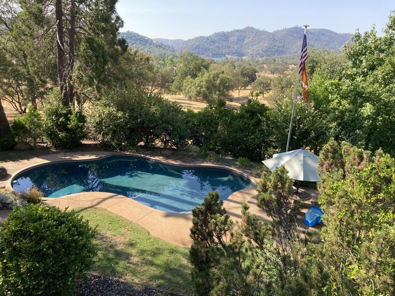
The home is in a lovely wooded area overlooking a bay of Lake Folsom in the distance.
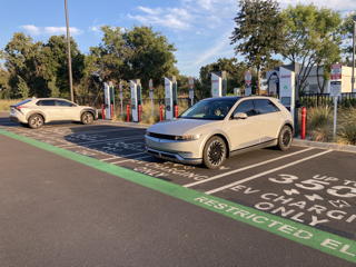
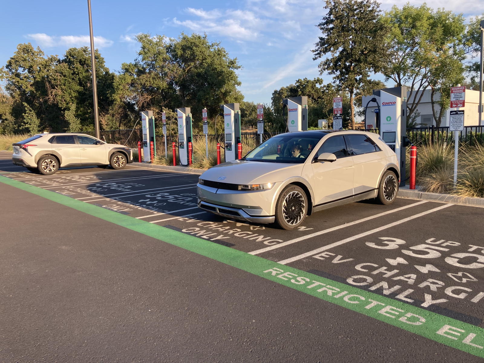
We then plugged in at the site in Loomis where we’d charged before last February, not realizing that Electrify America had unconscionably sold it to Costco, as described on the first page for this roadtrip. Grrrr!
Here’s hoping that the next part of this saga might not be as tedious, since it is about our actual visit to the area than a travel log.