to the Mountains
in our Model 3
Mark D Larsen
October 7, 2020
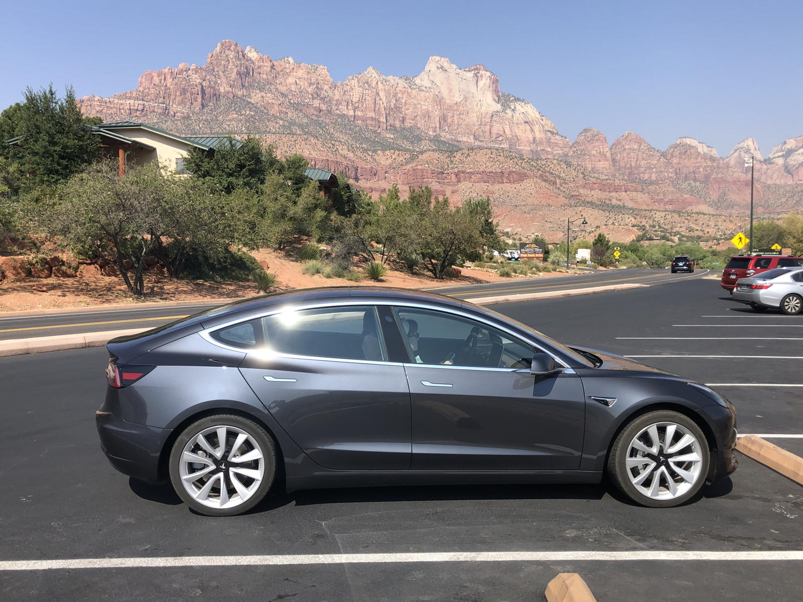
Rock Star
(Click to enlarge)
| Fall Daytrip
to the Mountains in our Model 3 Mark D Larsen
|
Rock Star (Click to enlarge) |
Unlike the first two years with Correcaminos, we have not been able to take roadtrips for several months, due to the coronavirus pandemic. Nonetheless, we decided to at least take a daytrip to Zion National Park, Duck Creek Village, and Cedar Breaks National Monument, simply to see some fall leaves in the mountains before they are all gone this year. In the morning, I charged Correcaminos to 90%, which predicted 276 miles of range for our daytrip. Below are photos and my excrutiatingly long-winded, boring movies of the journey.
NOTE: You can click on the following photos to enlarge them, and the movies to play them.
In this introductory video, I reiterate what I’ve described above, and comment how the smoke from the California wildfires portends to thwart our scenic daytrip.
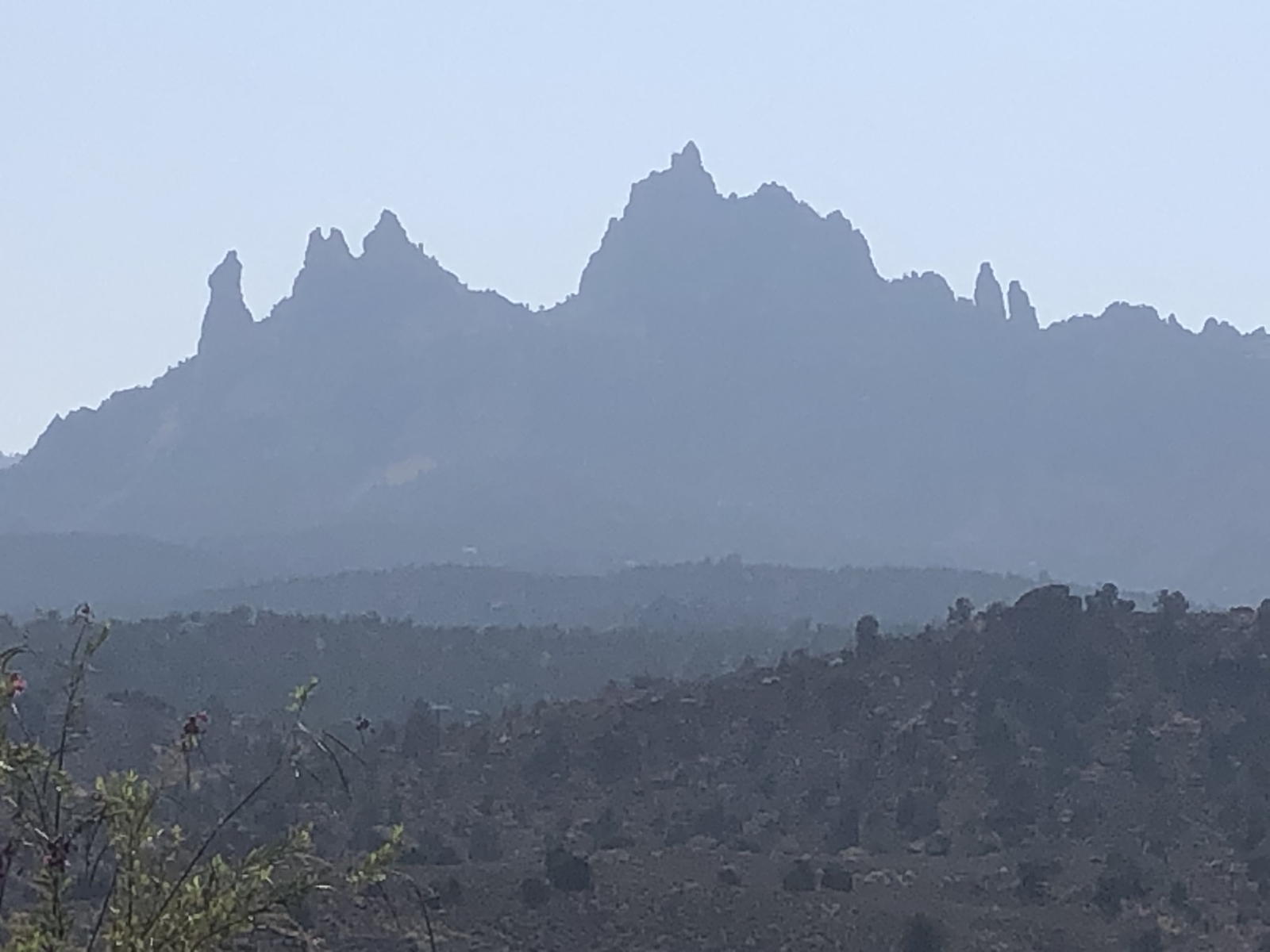
This video shows how the smoke is so bad that it obliterates the views of the peaks at Zion National Park in the distance. I also add some commentary about how the latest update from Tesla has continued to improve Autopilot with autostop features at traffic lights, stop signs, and roundabouts. You'll see toward the end that, by touching the speed limit sign on the display, Autopilot set the speed at 8 MPH above the limit. I suspected that this was because I had set my “relative” speed at 8 MPH faster, so I then reset it to 5 MPH —which is what I prefer with Autopilot.
In this video, you‘ll see that the smoke hadn’t abated, even though we’d climbed in elevation to reach Zion.

This is how smokey the view is looking south from the parking lot entrance to Springdale. Ugh!

Looking north into Zion Canyon, the smoke isn’t quite as bad, but still a disappointment.

Here’s another angle looking up into Zion Canyon.

Again, you can’t even see the details of the jagged cliffs to the south. Not exactly what we had hoped for our daytrip as a break from the coronavirus lockdown.

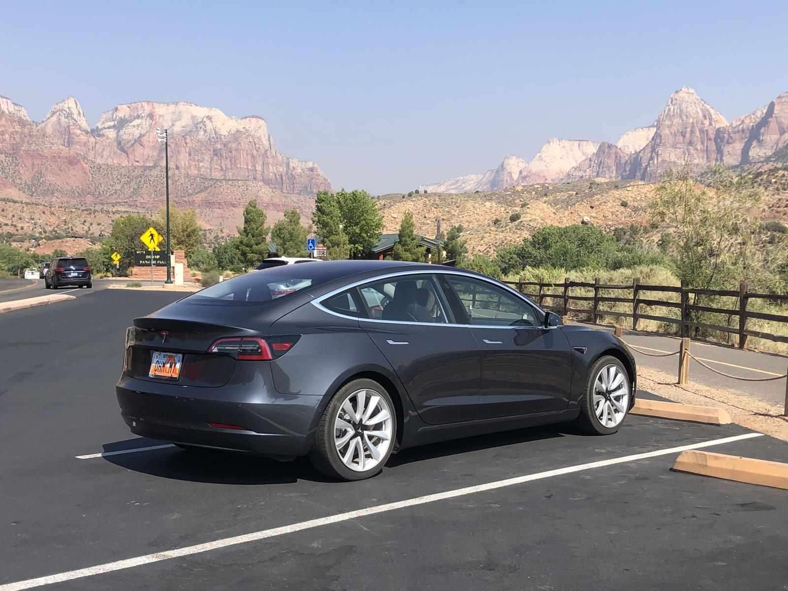
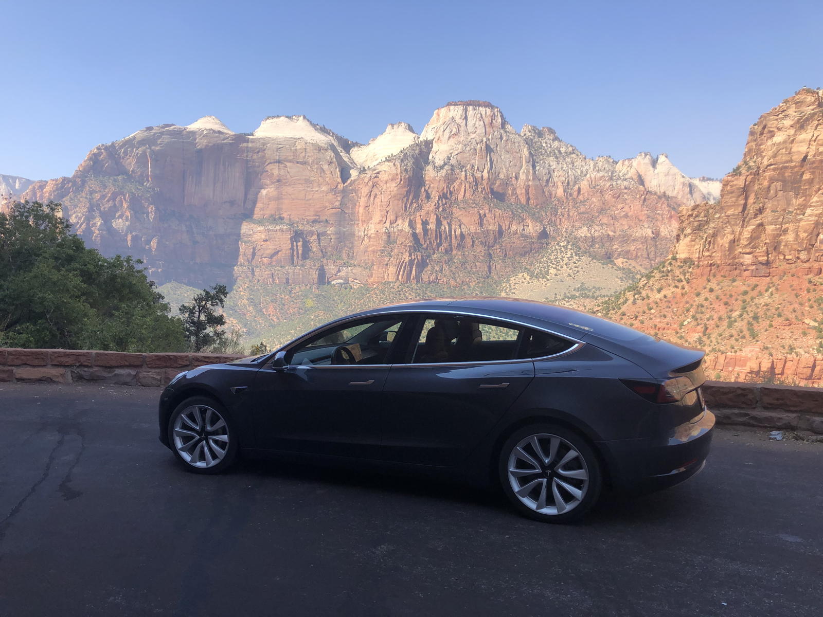
After entering the Park, I managed to get some slightly clearer photos, like this one of the steep canyon walls and the one at the top of the page.

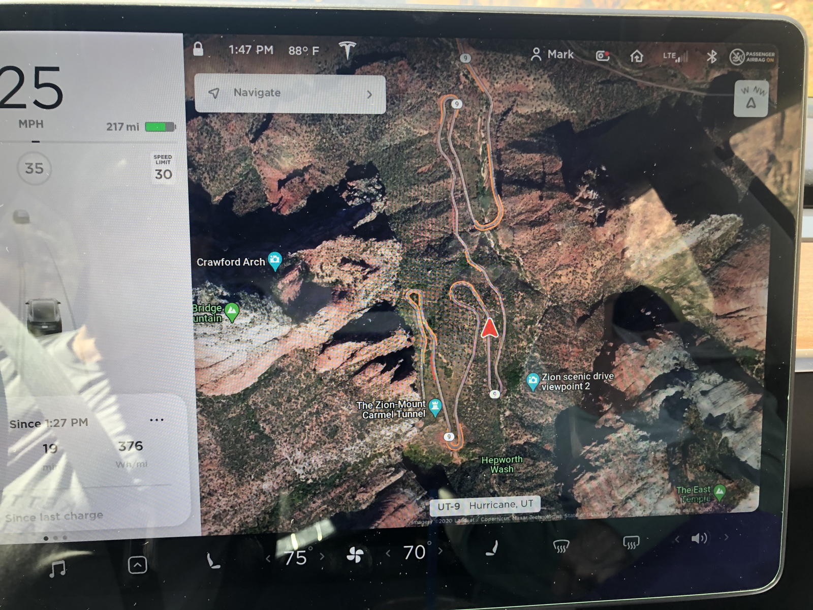
You can see on the display how the road twists and turns, with traffic slowing down on the curves, as it climbs toward the tunnel to the east side of the park.
I took this movie after we exited the tunnel and then drove to the east entrance. You can see how Autopilot handles the winding road with aplomb. I comment on how the unusually large number of the tourists seem oblivious to the pandemic precautions posted at the entrance to the Park —which truly baffles us.

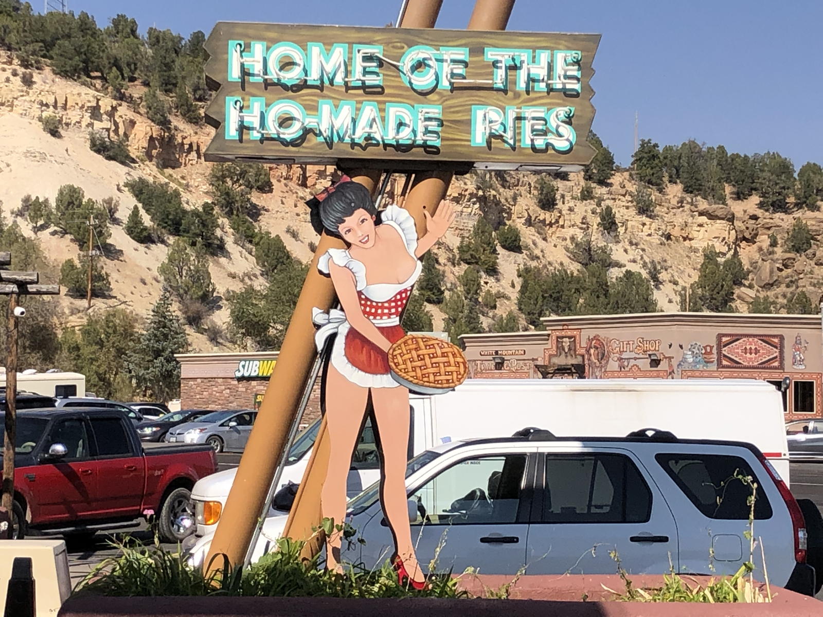
Here we are at our next stop, the restrooms in the Thunderbird Restaurant at Carmel Junction, where we donned our masks, washed our hands, and then used sanitizer on them.

Uh… the restaurant makes me wonder if they also have pimp-made pies…? Tsk.
In this video we’re driving north on Highway 89 through the polygamist community of Orderville. Unsure if Autopilot would automatically slow down for the school crossing, you can hear me spin the cruise control wheel down and then back up again in 5 MPH increments.

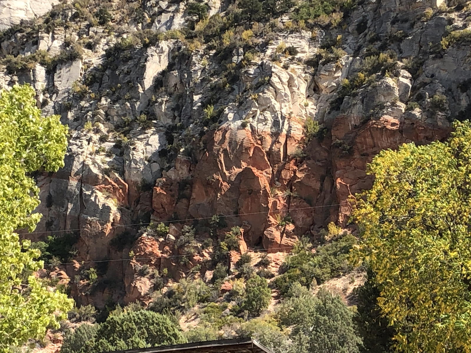
We took a few photos of the scenery along the highway, like this one of the white and red sandstone that has been twisted and crumbled through eons of time.

This photo shows the cliffs to the east of the highway, with a lone dead tree hanging out toward the road.

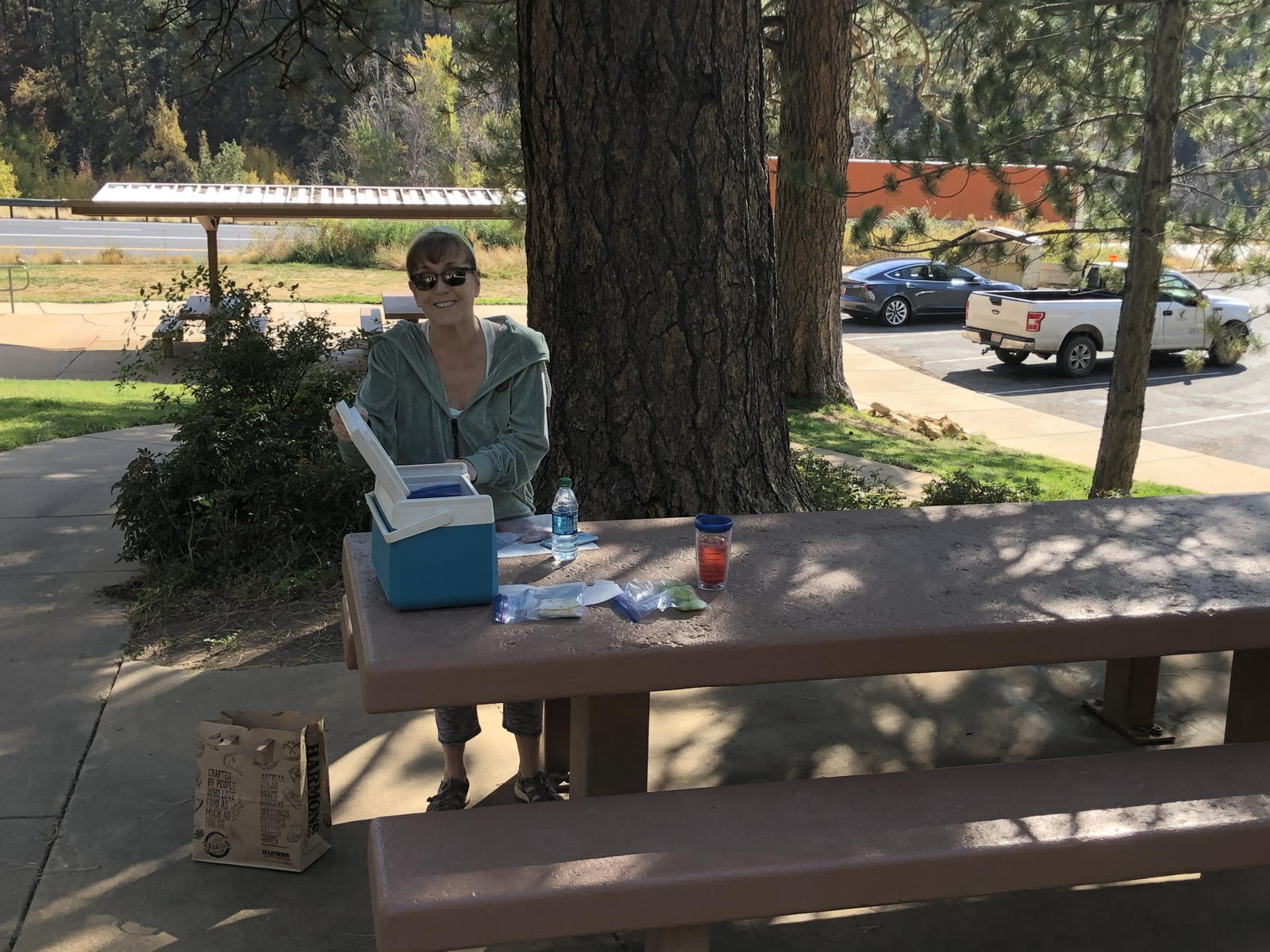
A few miles farther up the road, we pulled into this rest stop.

We pulled out our meager picnic lunch to enjoy in the shade of the trees.

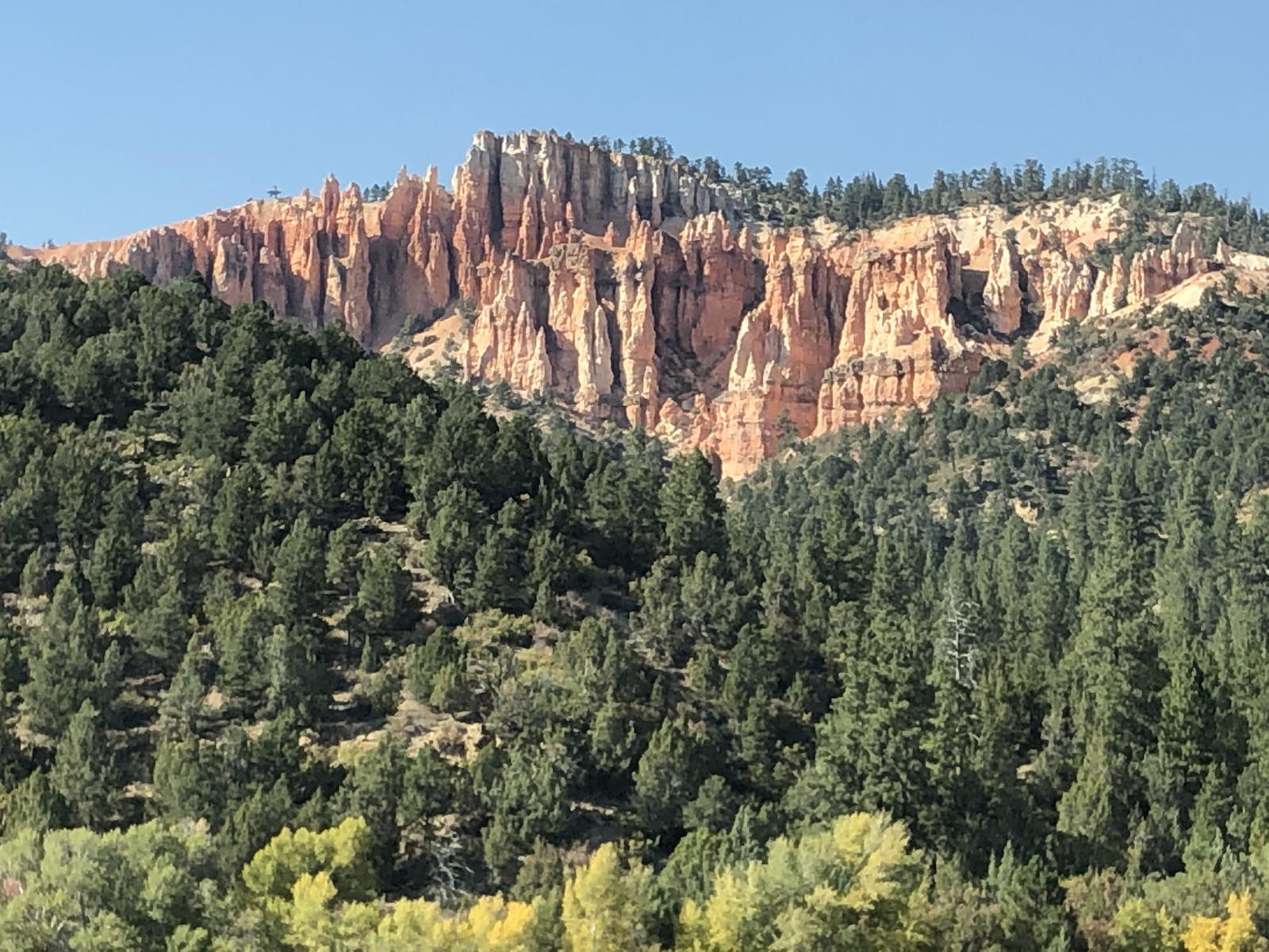
Here’s another shot of the cliffs to the east.

And on the west side we spotted a small outcrop of chistled red rock cliffs that resemble those in Cedar Breaks and Bryce Canyon National Park.
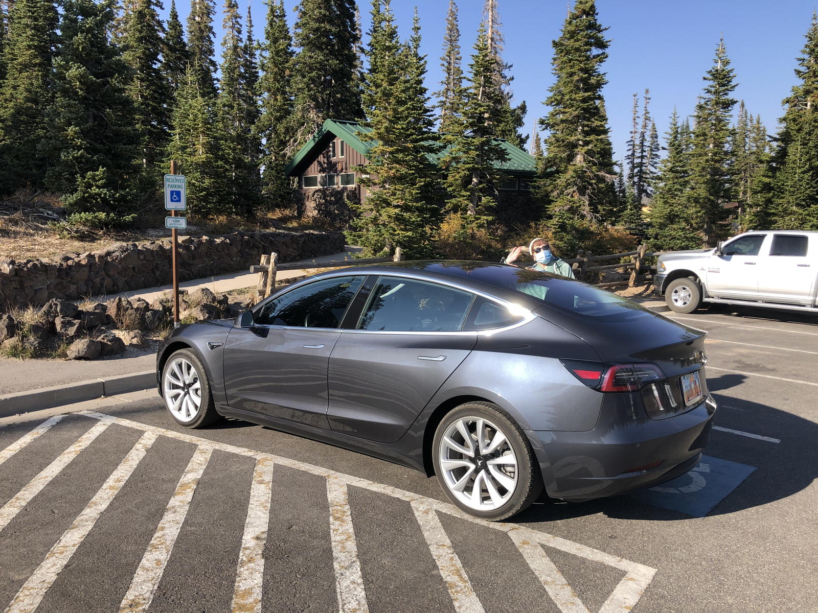
We finally reached the turnoff to climb to Duck Creek. This movie shows what few fall leaves we could see among the pines.
Here are more views of even better fall leaves as we pass Duck Creek village.

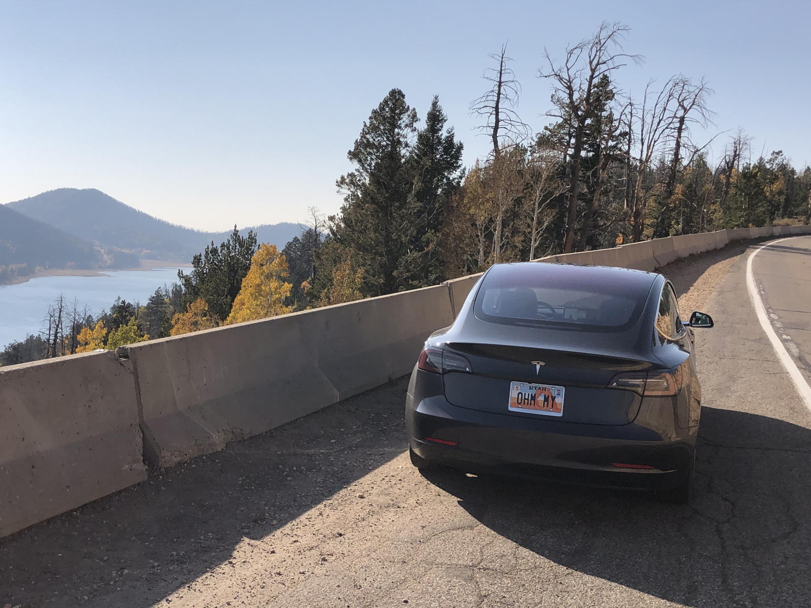
We pulled over at the overlook to Navajo Lake. From this angle you can see that the upper half of the lake was completely dried out from the drought we’ve been experiencing for several years now.

From the rear, however, you can see that there still is water in the lower end of the lake.
I decided to take this panorama movie of the lake to give a wider perspective of the area below the overlook.

Here we have arrived at the entrance to Cedar Breaks National Monument.

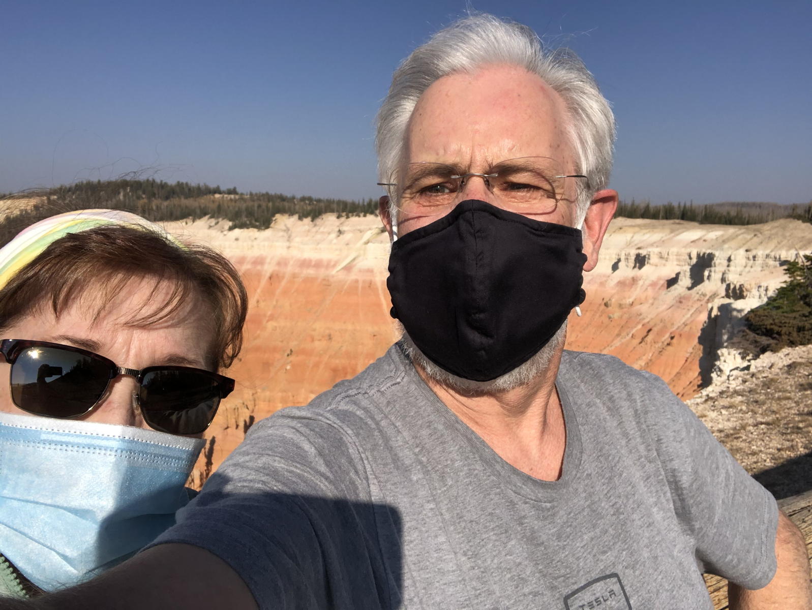
After I took this photo of Tamara at the lookout, she started to laugh because she realized the smile she was giving for the camera was hidden under her mask. Ha!

We then took a selfie… to hide both our smiles. “Who was that masked man?”

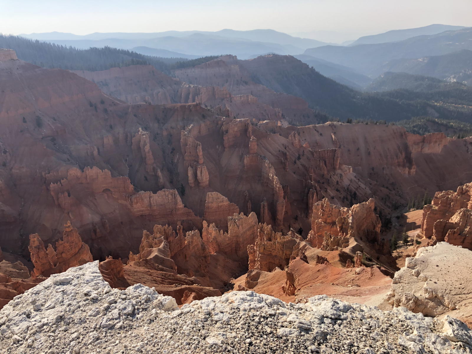
Here’s a view of the red rock formations, with the sun casting shadows from the west.

This view from the lookout shows the canyon now in shadow, but notice all the smoke down below in the distance.

Tamara commented that this tree stump looks like a huge spider. Aragog! Just in time for Halloween!

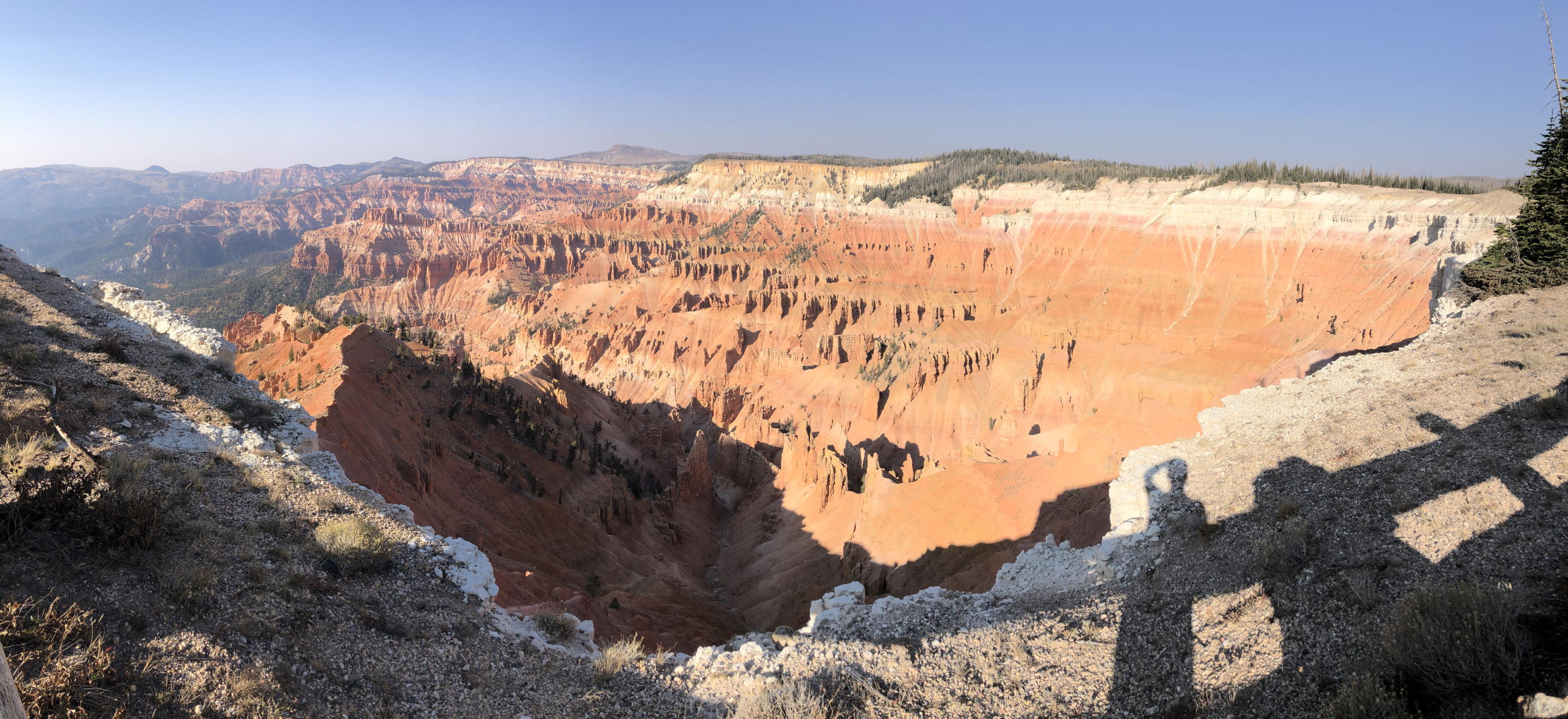
I scanned this panorama photo to show a wider perspective of one side of the cliffs.

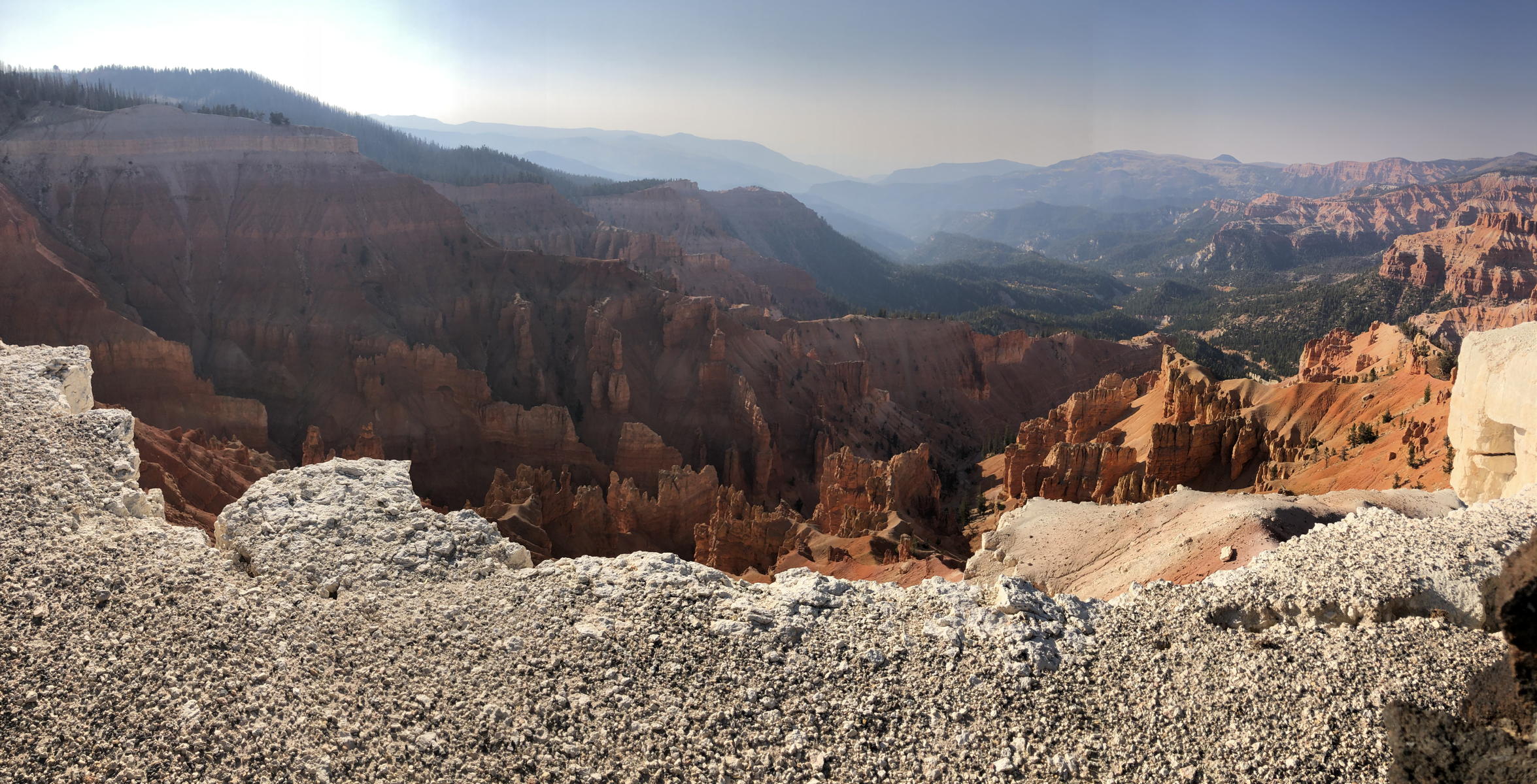
And here’s another panorama looking down the canyon toward the smoke.
This clip shows more fall leaves, and more smoke, as Autopilot drives us down the winding road toward Cedar City. You’ll hear it beep once because the wheels touched the double line on one tight curve. I note that the display shows 108 remaining miles of range. The reason was that, when we left Cedar Breaks, it displayed 102. By the time we reached Cedar City, it displayed 115, so we added 13 miles descending the canyon. Nice!
This movie shows the steep rock walls as we drop deeper into the canyon.
At Cedar City we got on the I-15 freeway, heading for home. The wildfire smoke had only grown worse during the day. I commented that I was thinking about now buying some third-party HEPA filters for Correcaminos. Indeed, I did so as soon as we got back. I had already changed filters once, so I knew how to do it, but it is not a very easy DIY job. Hopefully it won’t prove as challenging next time when the HEPA filters arrive.

When we pulled into the garage, I snapped a photo of Correcaminos display, which showed that we’d driven a total of 212.2 miles on our daytrip, and still had 69 miles of range remaining. Adding them together suggests the full range from the 90% charge would be 281.2 miles, i.e., 5.2 miles farther than what the battery had predicted that morning. I suspect that increase was due to our energy efficiency on the daytrip: an impressive 4.82 miles-per-kWh, despite all the elevation changes and the 80 MPH speed on the freeway. Sweet!
The awful smoke at the lower elevations obscured the vistas for much of our journey, but it was nonetheless good to get away for the day and put some more miles on Correcaminos. Indeed, apparently about halfway through the daytrip its odometer crossed the 36,000 miles threshold. I admit that we have been growing anxious and even depressed while waiting for a vaccine to be developed, tested, and released, and the trip helped lift our spirits. I can’t wait for this country to finally put the pandemic behind us so that Correcaminos corre caminos once again.