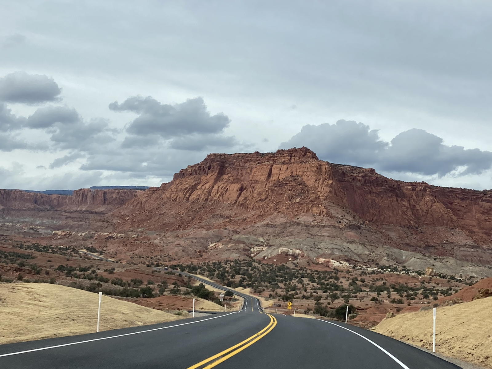
Cliff Hanger
(Click to enlarge)
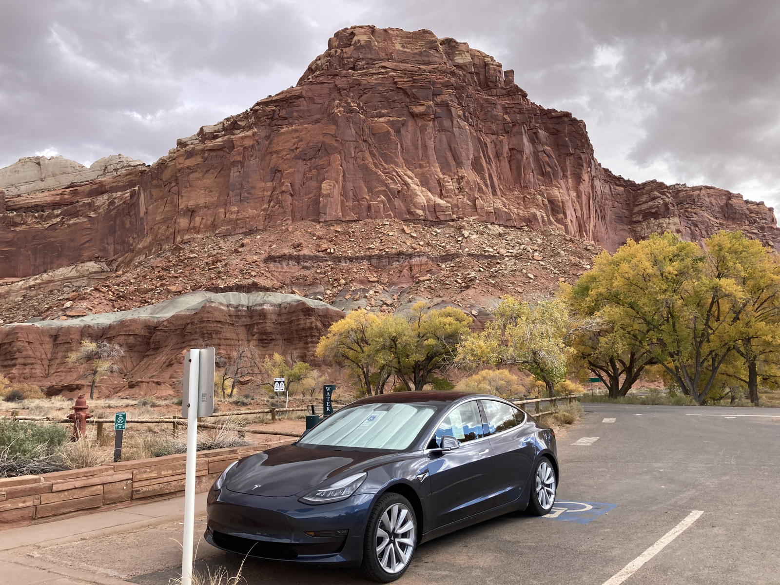
Capitol Reef
National Park
in our Model 3
Mark D Larsen
November 1-3, 2022
|
Cliff Hanger (Click to enlarge) | Roadtrip to
Capitol Reef National Park in our Model 3 Mark D Larsen
|
One of the reasons we moved to this area was because we love to visit the numerous National Parks and Monuments in the Southwest. We have taken roadtrips to see Monument Valley, the north rim of the Grand Canyon, the Black Canyon of the Gunnison, Colorado National Monument, Arches, Bryce Canyon, Kodachrome Basin, Cedar Breaks, Zion, but had yet to visit one of our very favorites, Capitol Reef. The reason is because it is not easy to get there, as the only Superchargers anywhere near its remote location are in Cedar City, Beaver, and Richfield, still many miles from the park. The good news is that there are now Destination Chargers at the Boulder Mountain Lodge, close enough to the National Park for a round trip there and back. We therefore reserved a room at the lodge for a couple of nights so that we could tour Capitol Reef for a full day between those two reservations. Below is my usual long-winded narrative of the trip.
NOTE: You can click on the following photos to enlarge them, and the movies to play them.

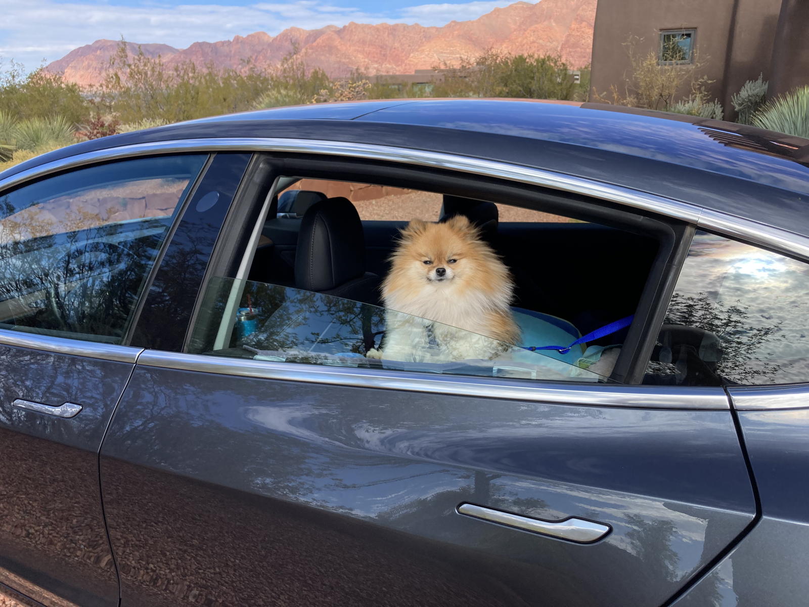
Moxie was ready for another tourist adventure.

I set the navigation to take us to the Supercharger in Beaver.
My usual introductory video explaining where we’re going.

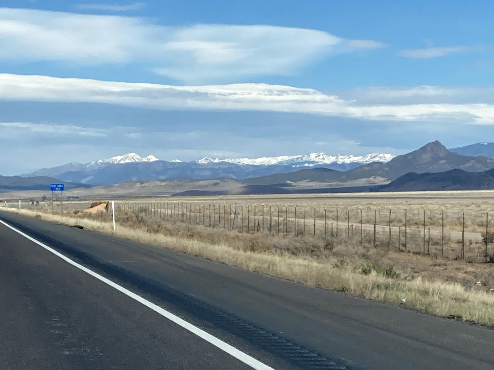
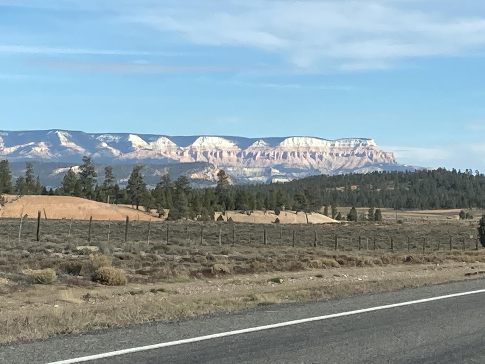
We were actually surprised to see some snow on the peaks beyond Cedar City.

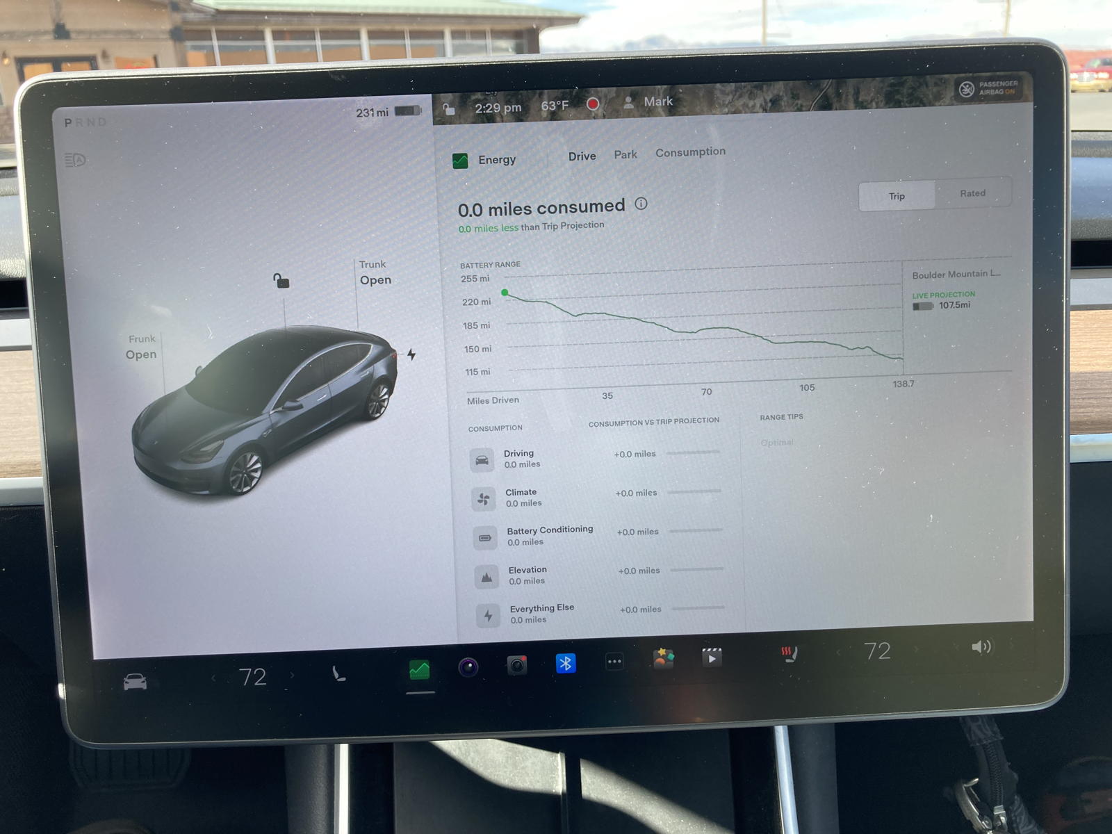
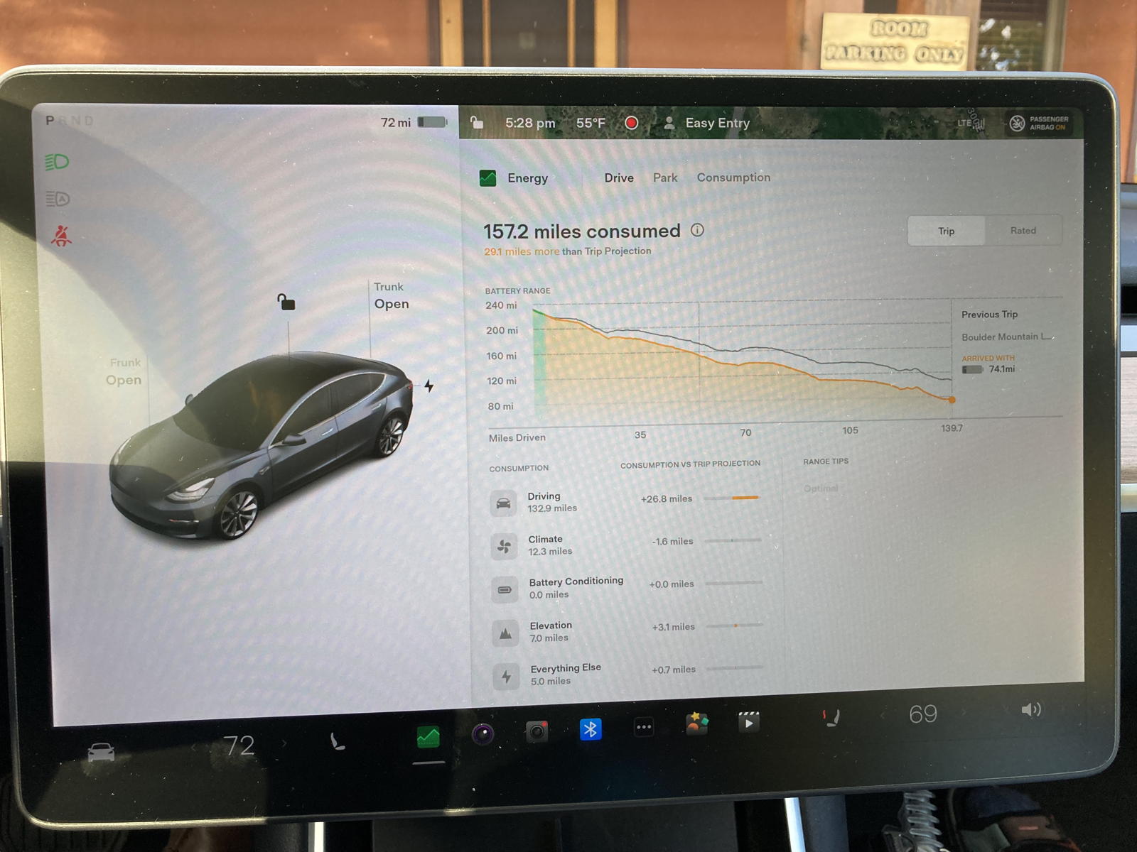
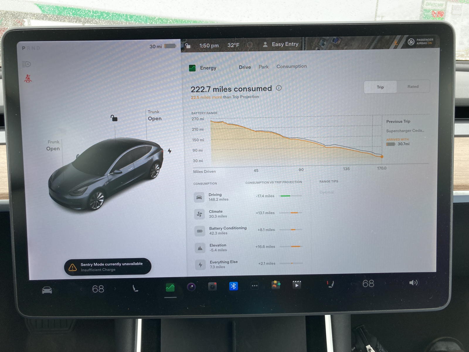
We saw a new alert on the touchscreen, advising us how many miles of range we could save if we drove 70 mph. We were going 5 mph below the 80 mph speed limit, and were already saving range as you will see below.
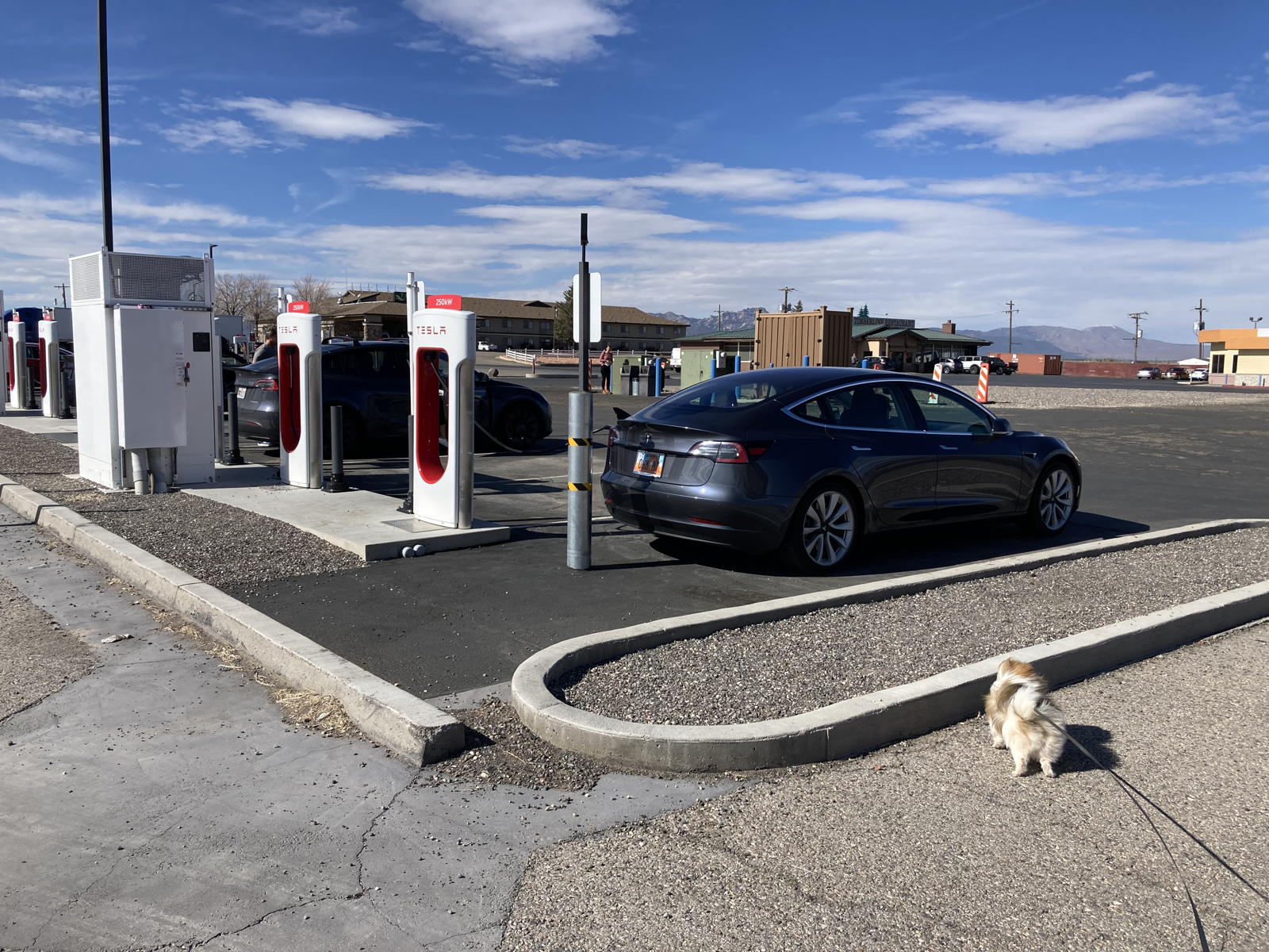
As we approached the Beaver Superchargers.

As you can see, we had actually driven 3.5 miles less than navigation predicted, helped by a tailwind.

Moxie was happy to take a break, despite the howling wind.

I noticed that the natural gas filling station in Beaver was now abandonded. Dare I hope it’s a sign of the times?

After only 16 minutes, the battery was again charged to 80%.

After consulting the navigation map, we decided to forego charging in Richfield and drive directly to the Boulder Mountain Lodge where we would spend the night.

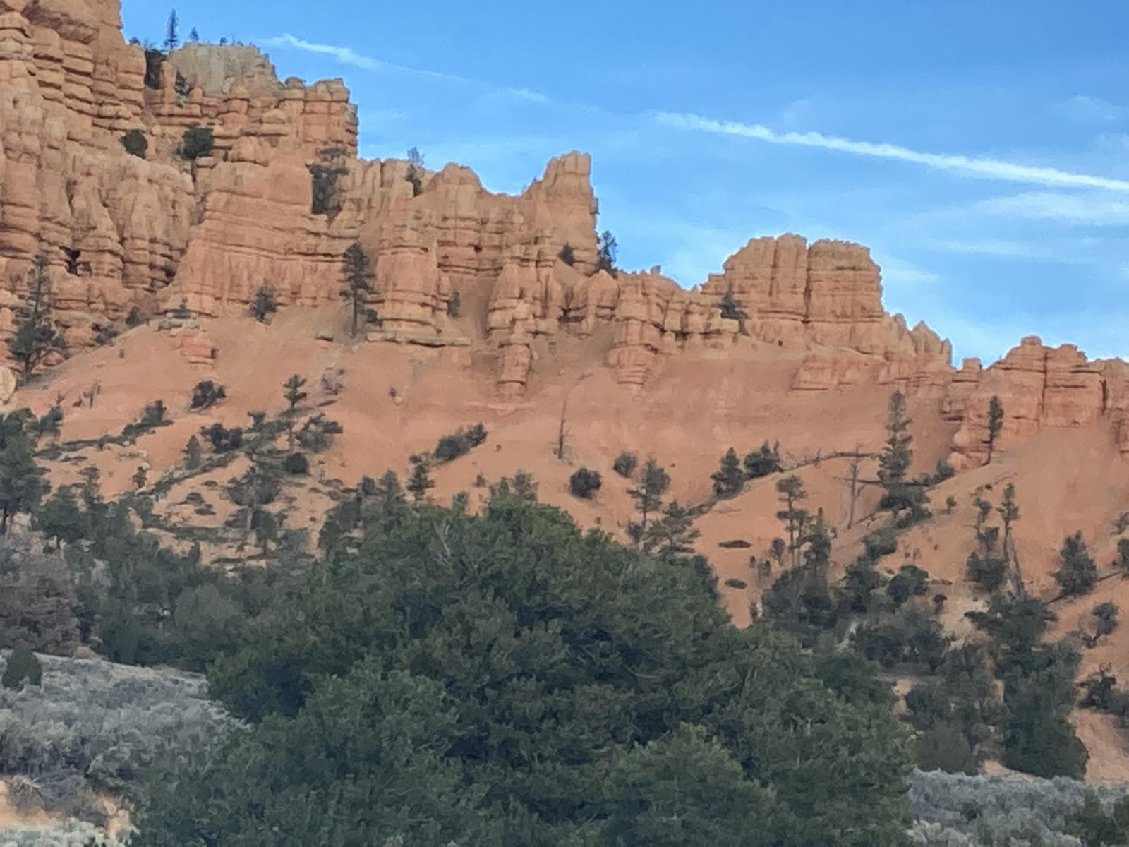
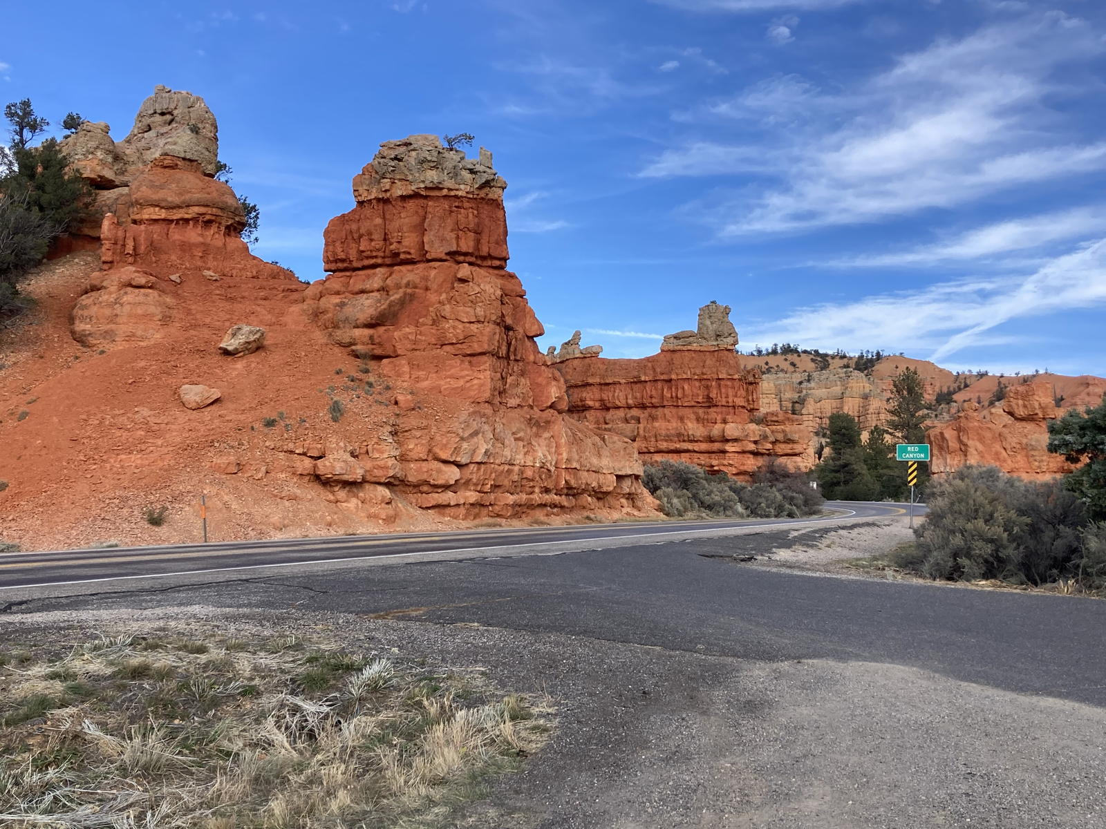
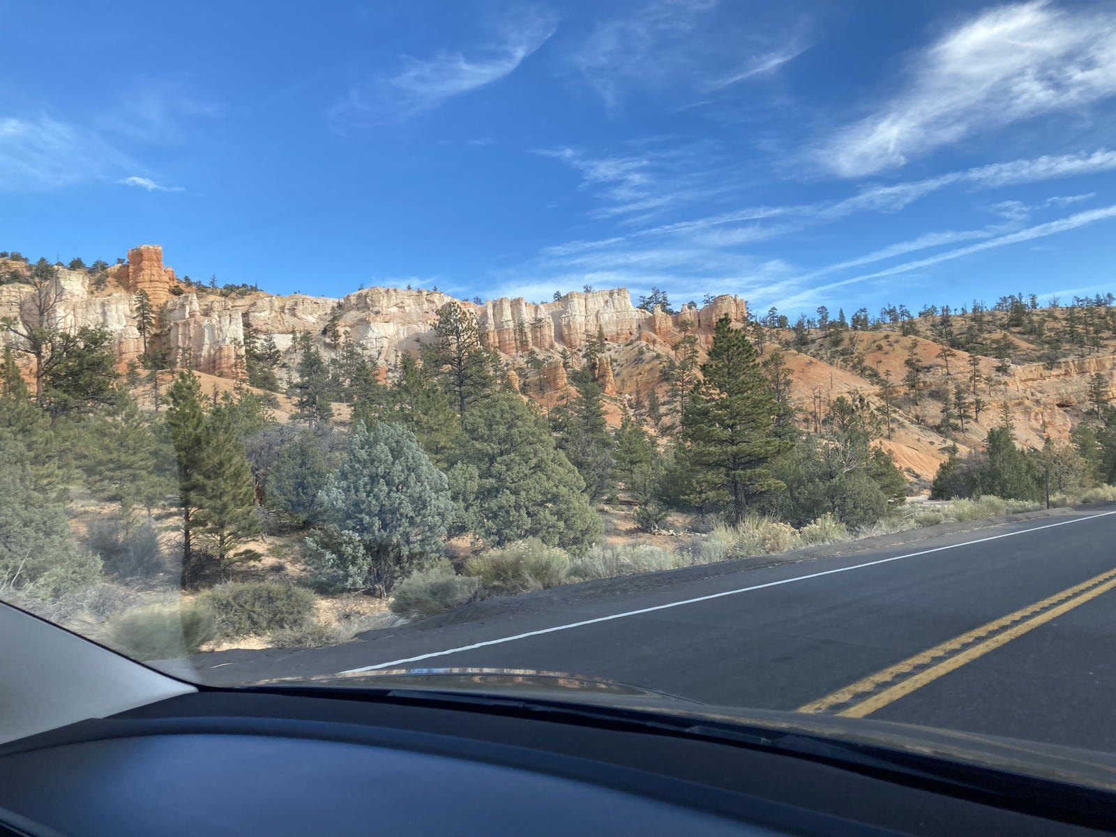
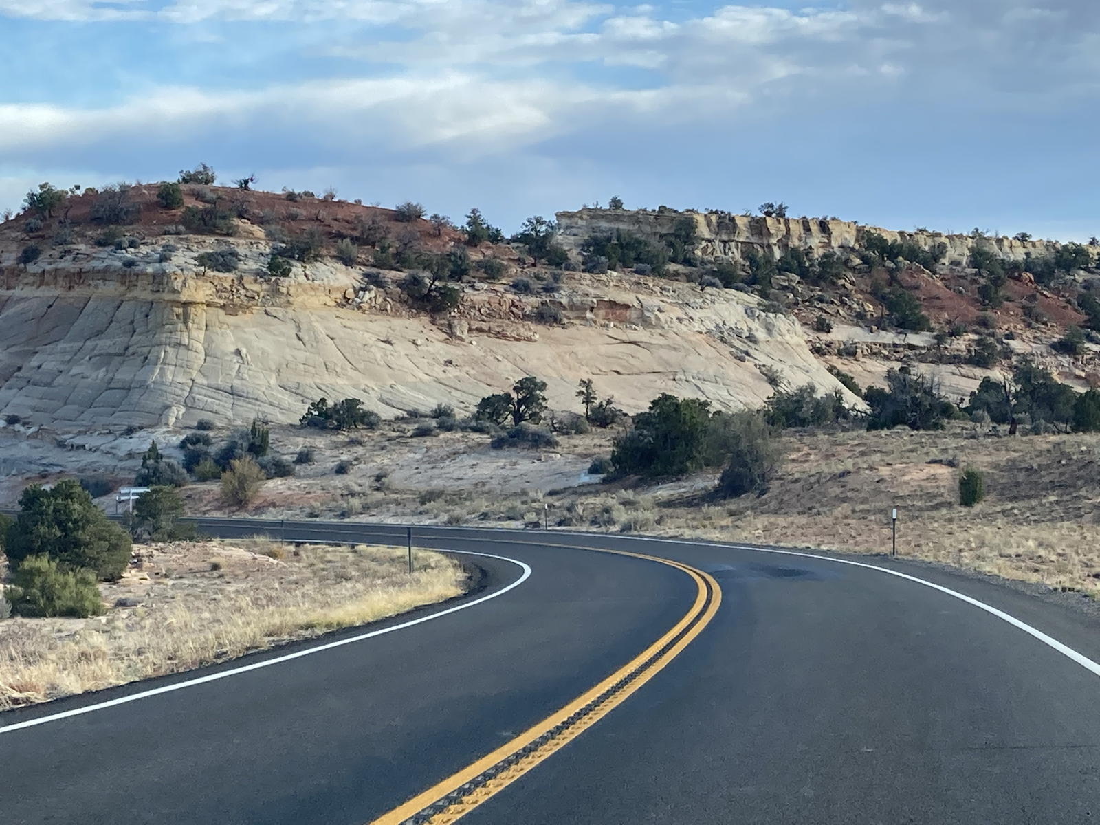
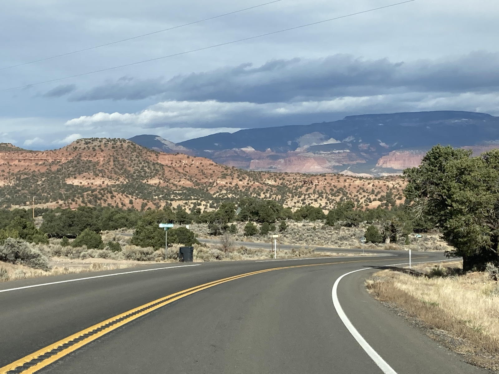
Here we are approaching one of our favorite drives through Red Canyon.

The pinnacles in that canyon are so picturesque and colorful.

We stopped at the usual viewpoint before entering the canyon.

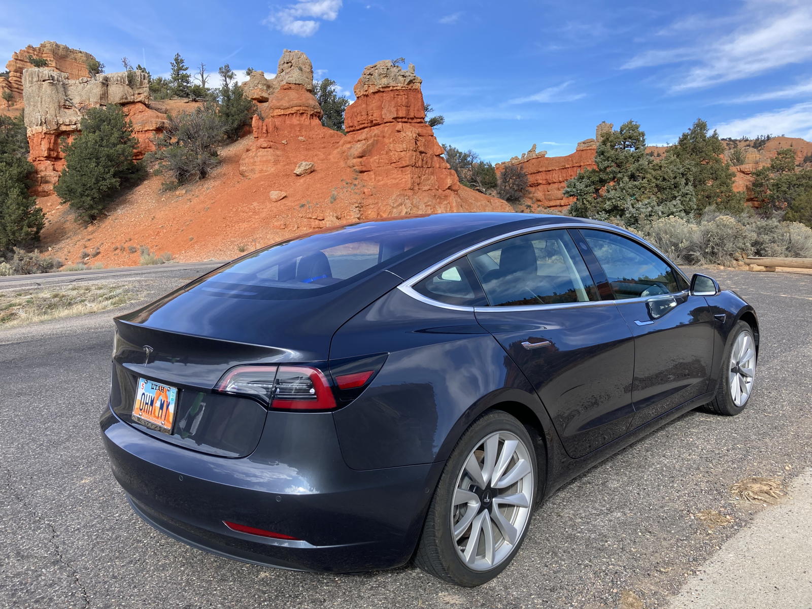
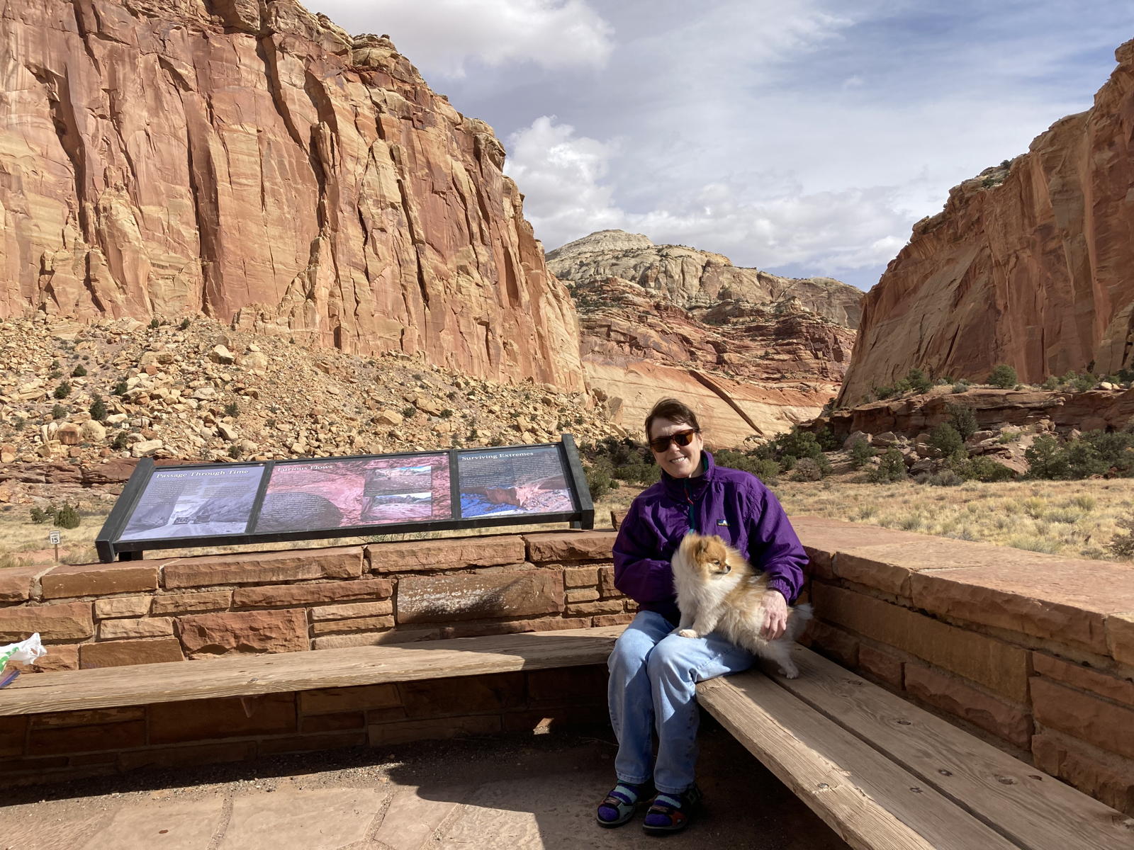
Tamara took this photo of me and Moxie by the tourist signs.

I couldn't resist taking another photo of Correcaminos at the canyon entrance.
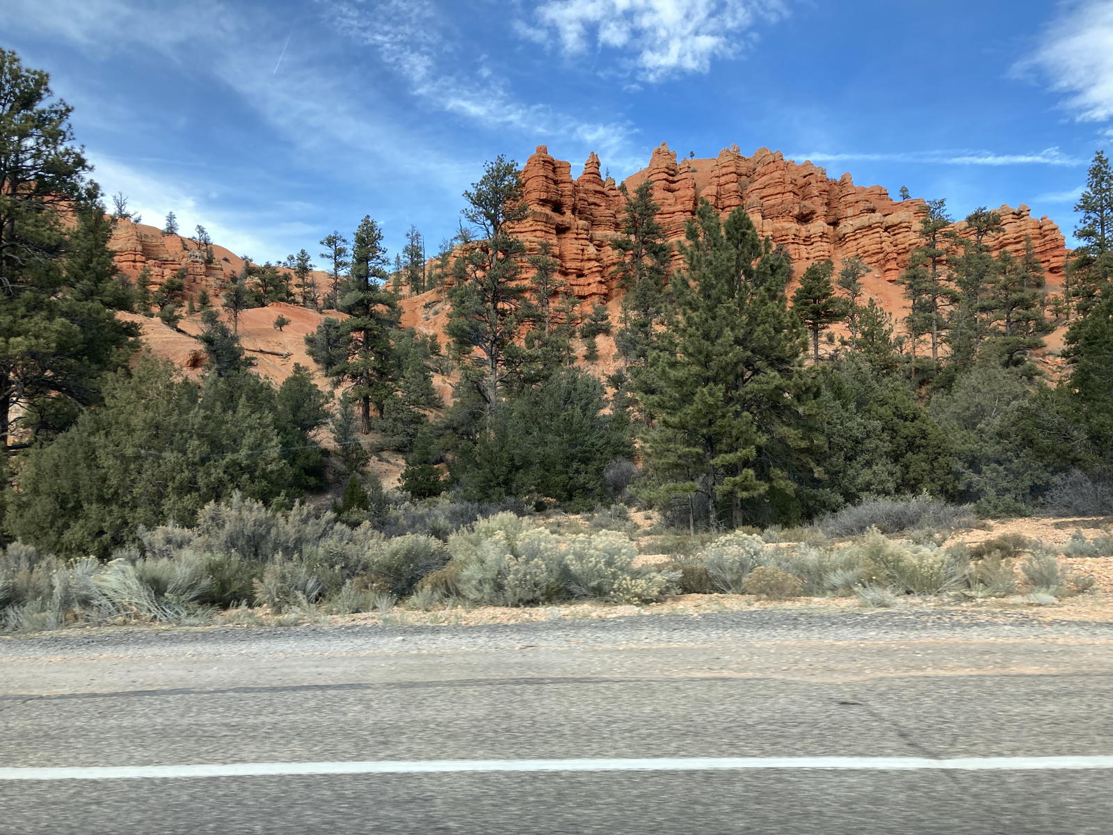
I comment about Red Canyon in this video.

Here are some of the formations in the canyon.

And even more of them.

After reaching the plateau to Bryce Canyon, Tamara took this photo of the cliffs to the north.

And here we're dropping down from the plateau to the small town of Tropic.
Tamara took this video as we dropped down in elevation from the plateau. The energy graph showed that the range had dropped from the original projection, but we were still in good shape.

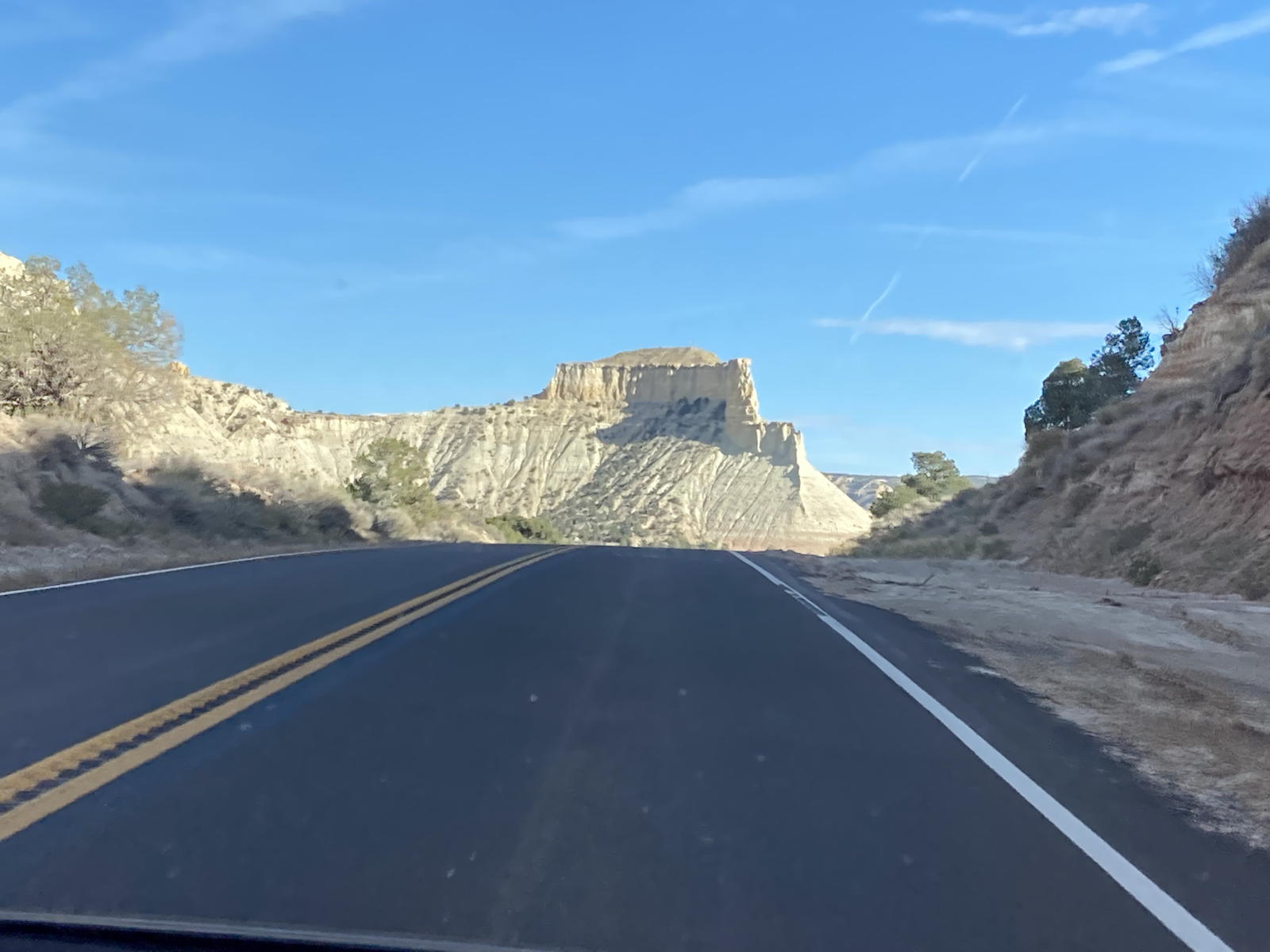
The formations to the east of Bryce are yellow, rather than reddish orange.

They do have towers and columns, however.
On the road to Escalante.

More yellow sandstone.

Climbing over another summit to get to Escalante.
As we enter Escalante.

We then entered the Grand Staircase-Escalante National Monument.

It's unconscionable to me that Utah politicians have been pushing for years to confiscate these magnificent public lands for their cronies’ private companies… to drill for natural gas and shale oil!
Driving into the National Monument.

In the canyon where one can take the hike to Lower Calf Creek Falls.

Climbing out of the canyon toward the Hell's Backbone highway.
Here we are driving along that backbone.

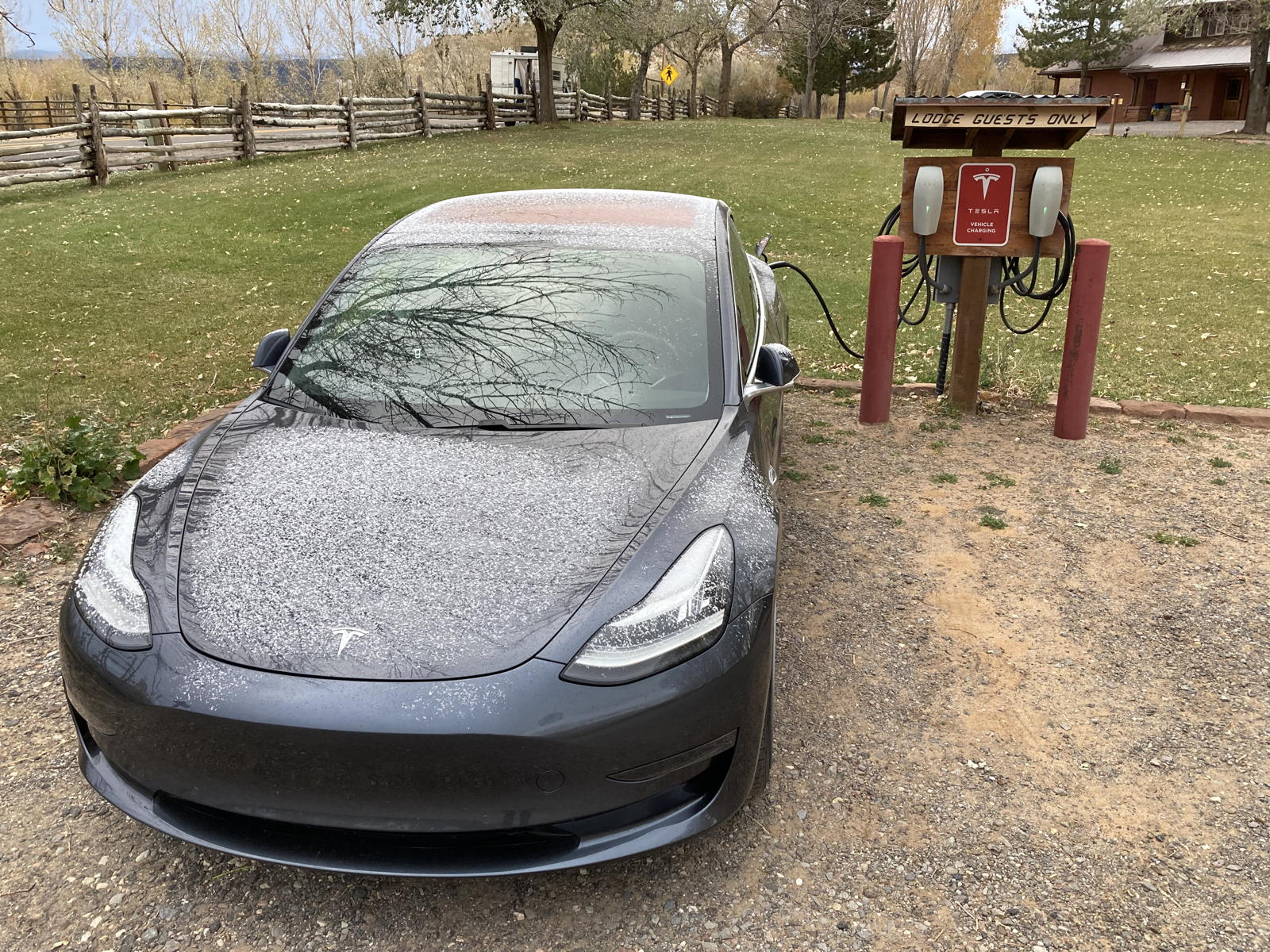
We arrived at the lodge, and I was pleased to see the provided Destination Chargers near the entrance.

Although we had arrived with less range remaining than predicted, we still had more than a 20% charge.

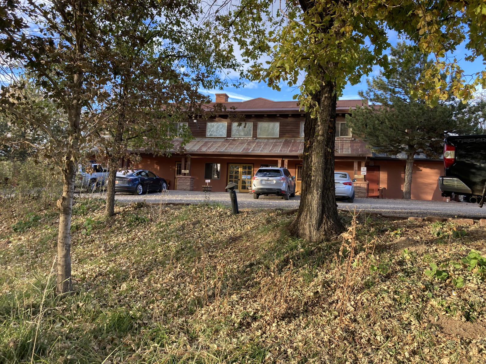
Boulder Mountain Lodge is actually several lodges, and this was the one with our room.

I parked in front of the room to unload our paraphenalia, and would later drive back to the Destination Chargers to plug in for the night.

Although the lodges were build years ago, the room was well maintained, clean, and spacious.

Moxie is always delighted to spend nights in motels.

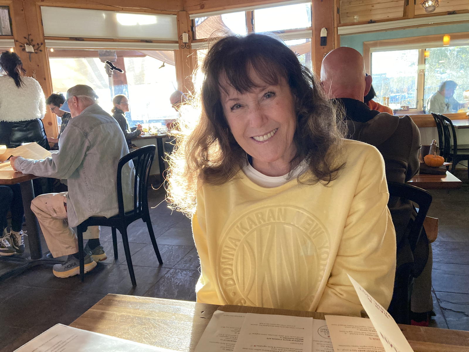
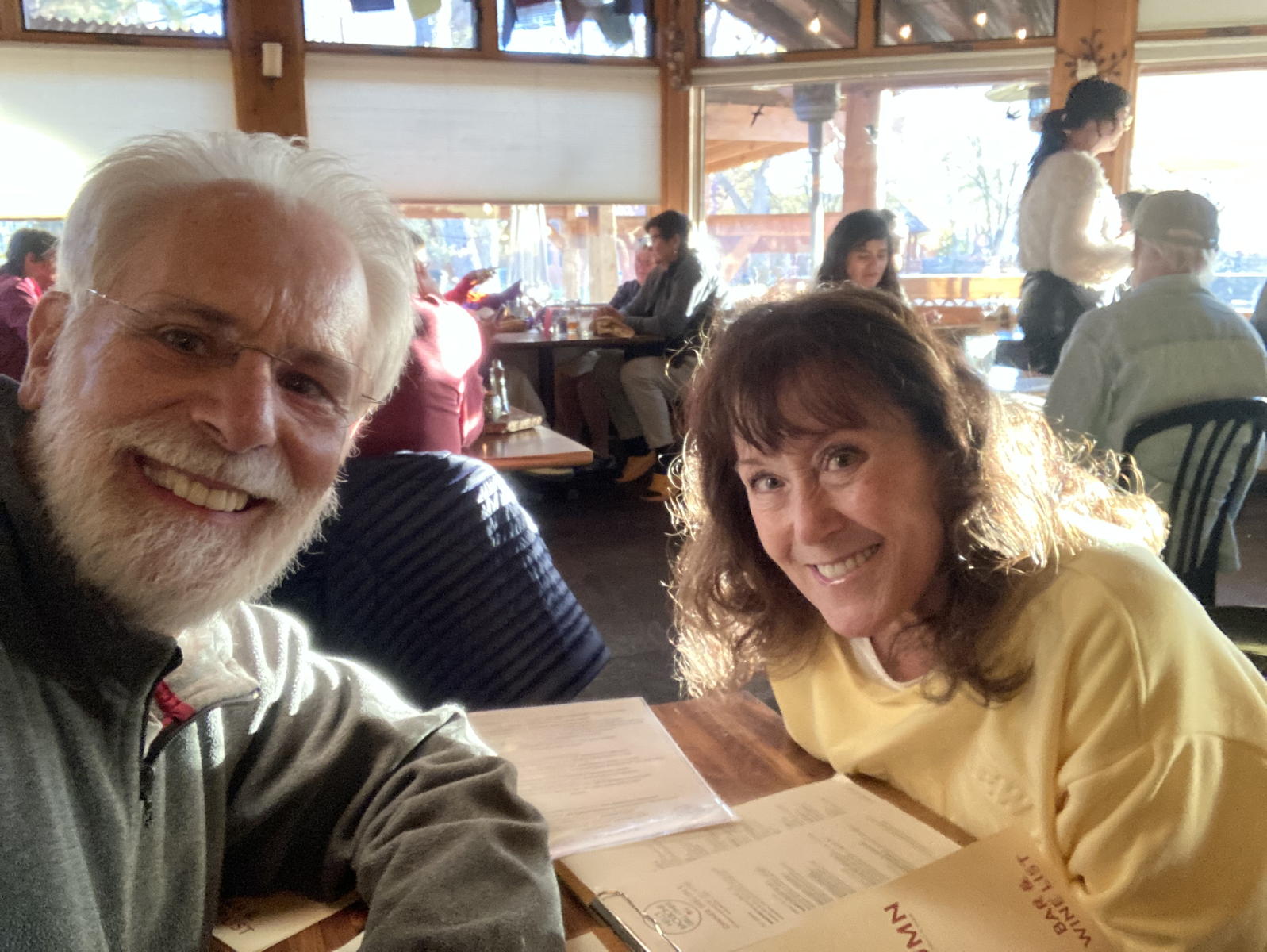
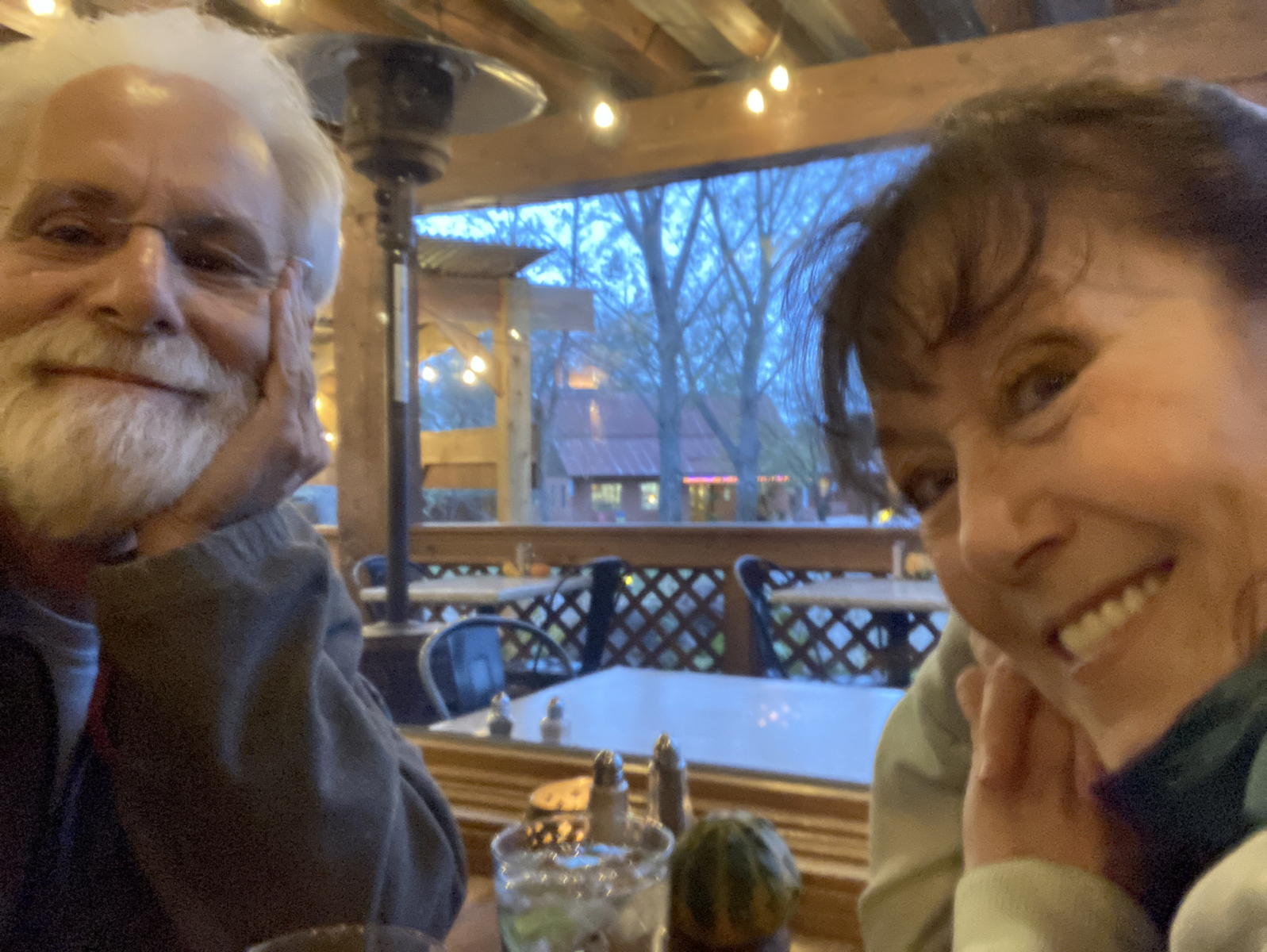
We put Moxie in the car with "Dog Mode," and went to the Hell's Backbone Grill next door for dinner. Here is Tamara ready to order.

The traveling twosome.

The designated driver.

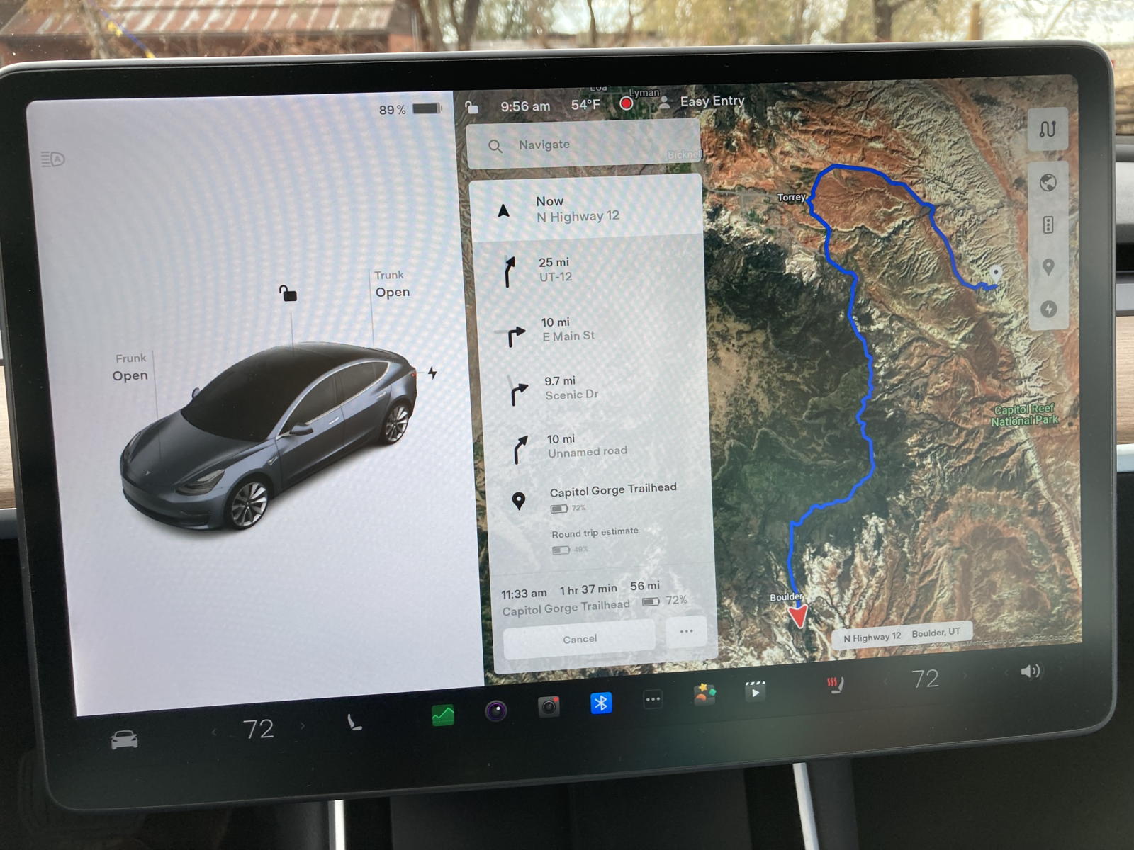
The next morning we set the navigation to take us into Capitol Reef National Park, all the way to the Capitol Gorge trailhead.

I had set the charge to 90%, just in case we needed more range, and the graph predicted we're arrive at the destination with nearly 72% remaining. Not bad!

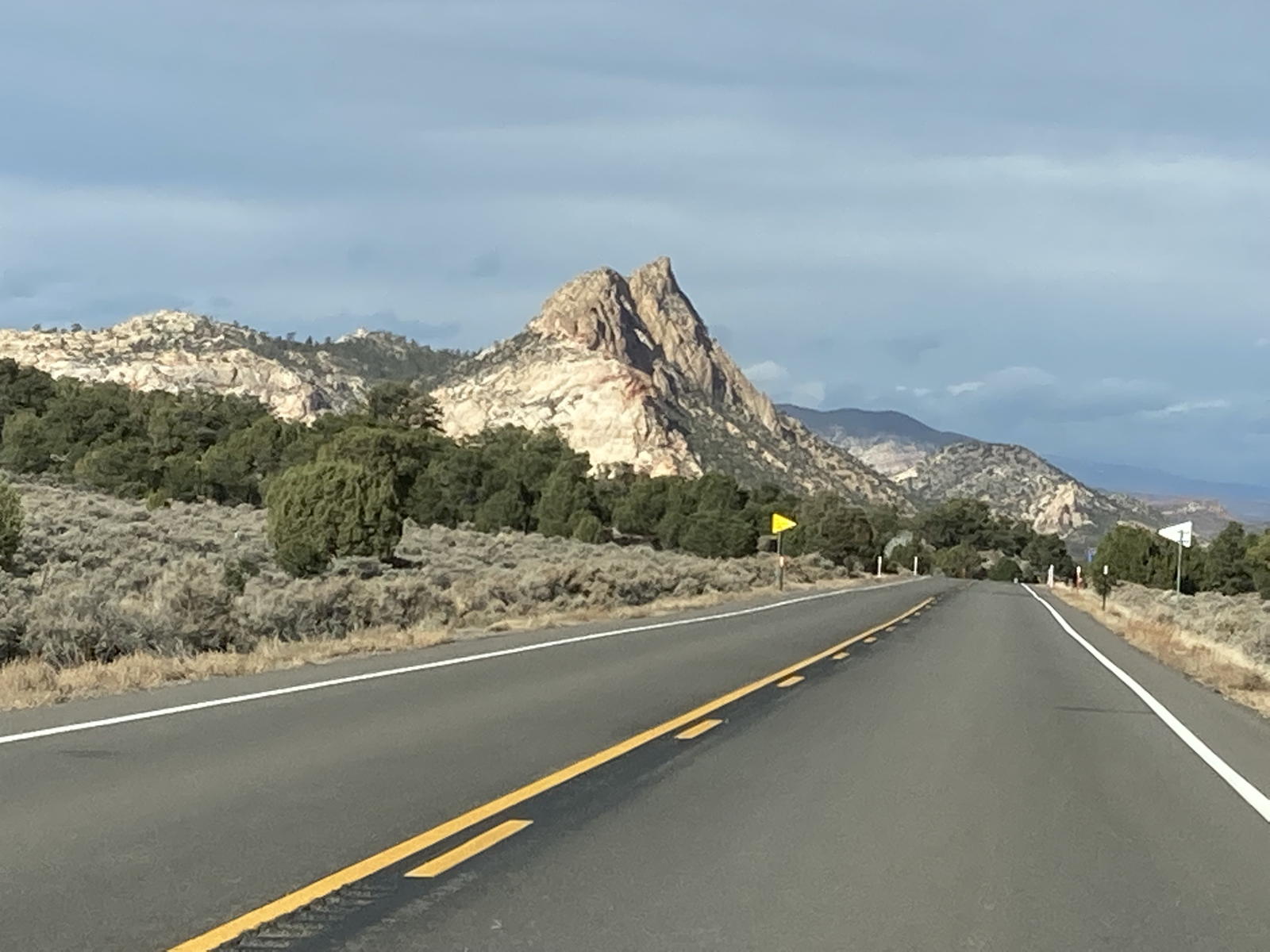
The route took us up and over a pine-covered summit overlooking the valleys below.

I took this photo of Correcaminos at a very windy viewpoint.

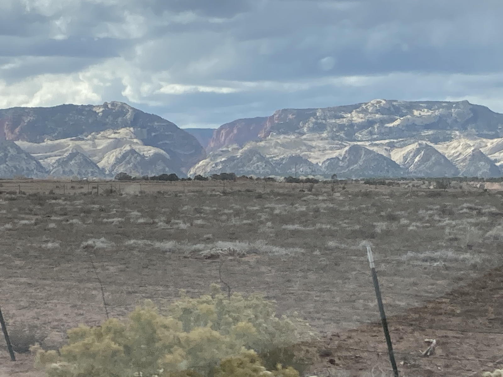
As we dropped down from the summit, Tamara took several photos of the views.

This one is of the mountains beyond the town of Torrey.

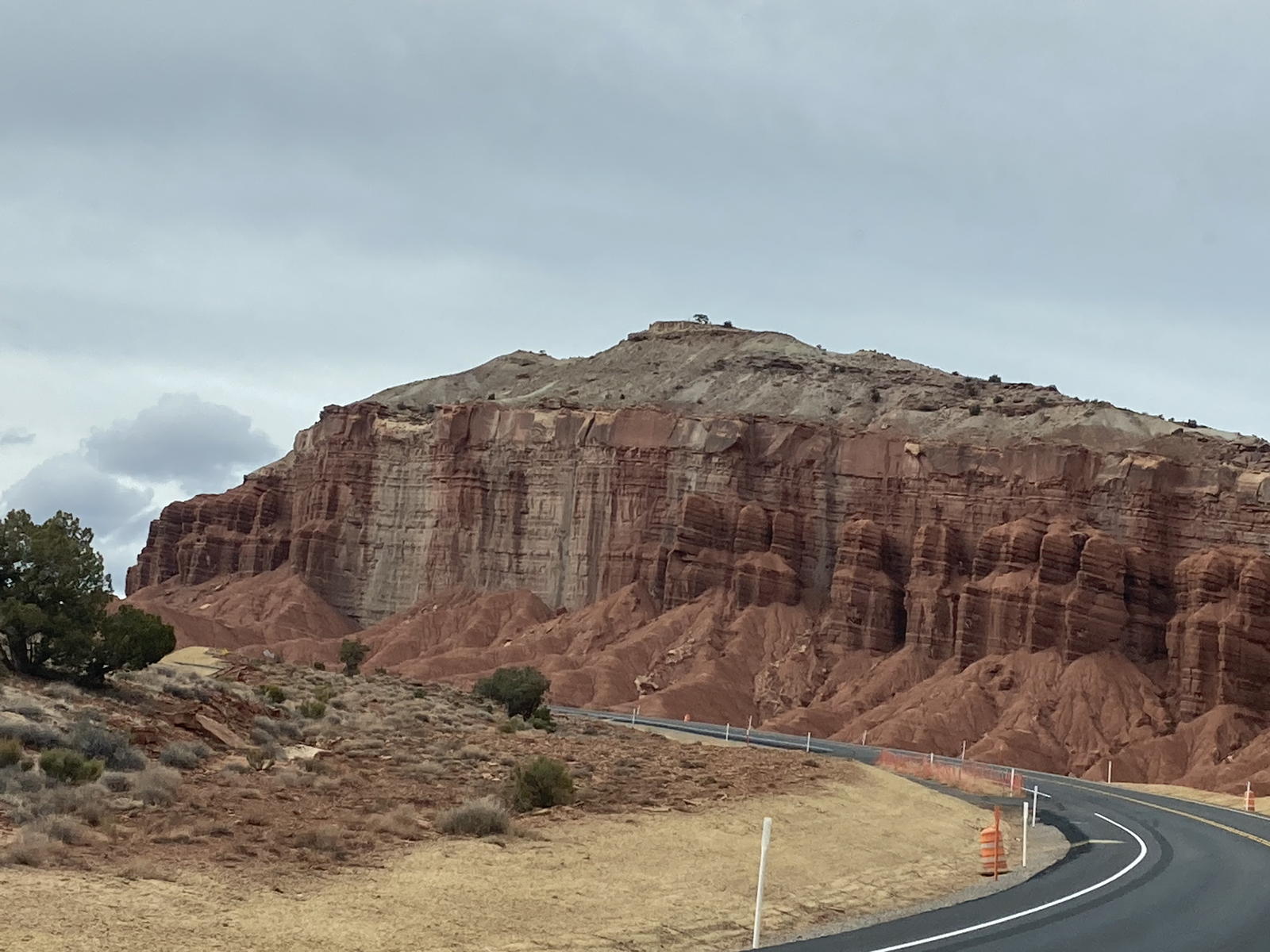
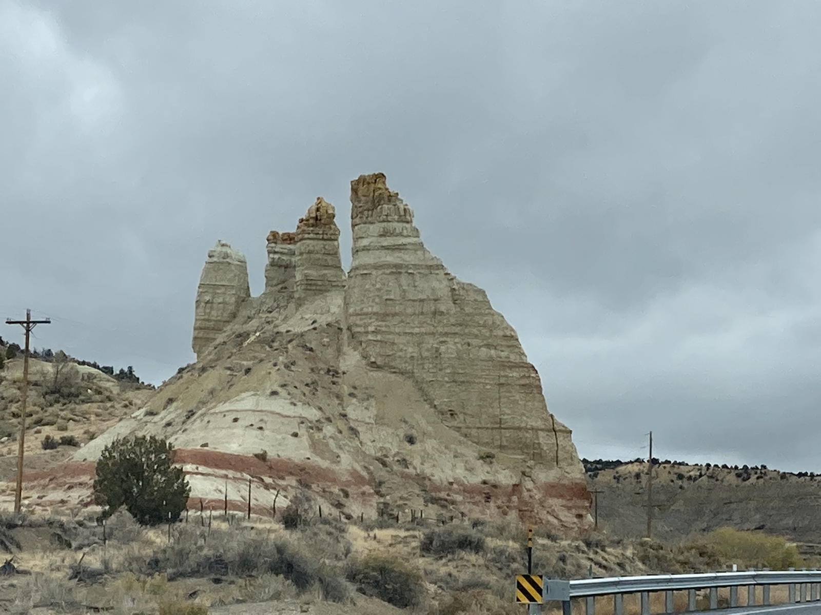
We saw this very odd pile of sandstone plopped down near the highway.

We passed these pinnacles as we drew closer to Torrey.

The last view before we entered the town.
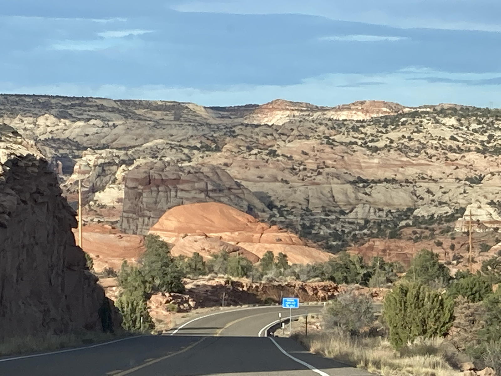
Having passed through Torrey, we now took the highway to Capitol Reef.

This formation struck me as somewhat… embarrassing. Maybe we should call it "Butch’s Willy" (which you might grok further below)?

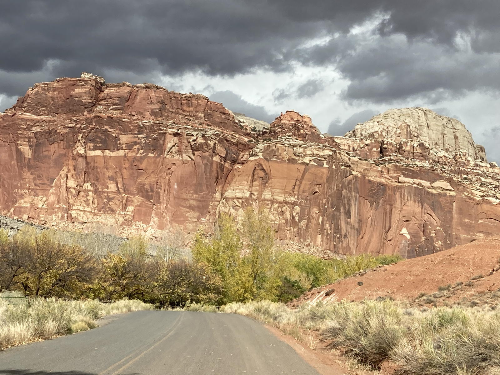
We're approaching the entrance to the park, where there are many trees and orchards planted by the first settlers in the area.

This canyon is across the highway from the Visitor Center.

Next to it is this impressive sandstone cliff.
Upon leaving the Visitor Center, we drove through a portion of the town of Fruita with its orchards.

Here is the little doe spotted toward the end of the video above.

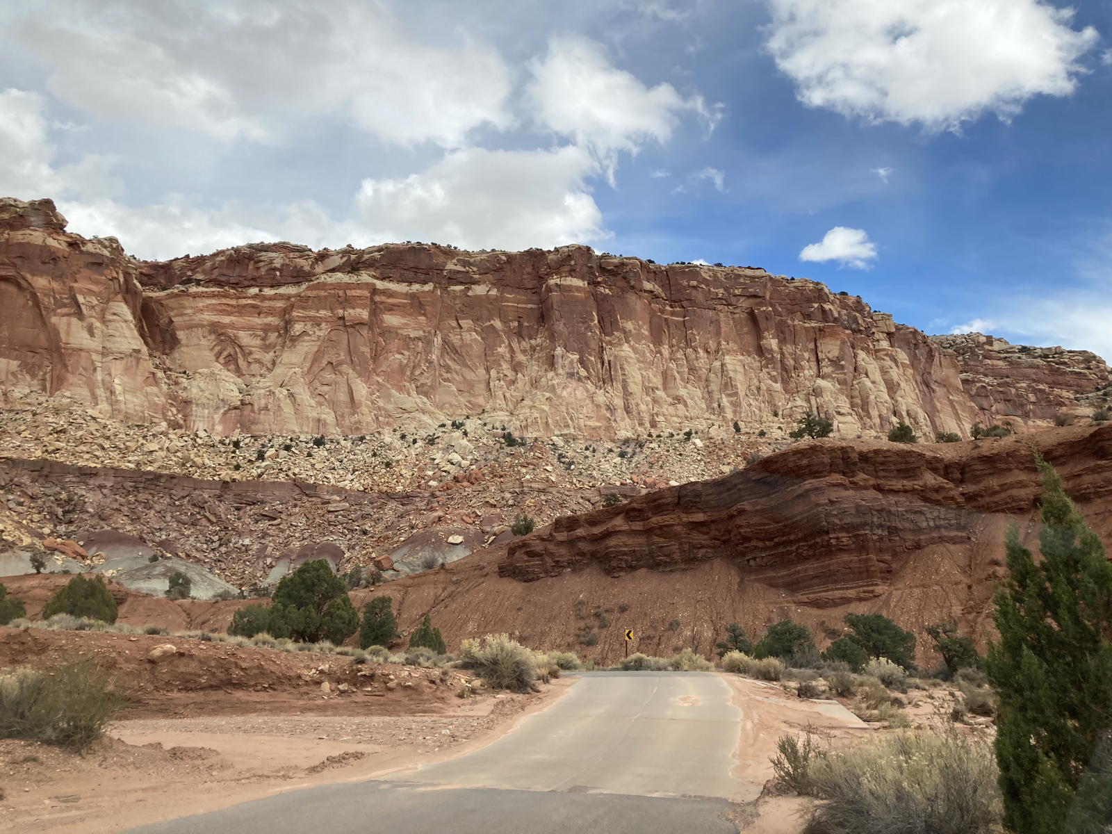
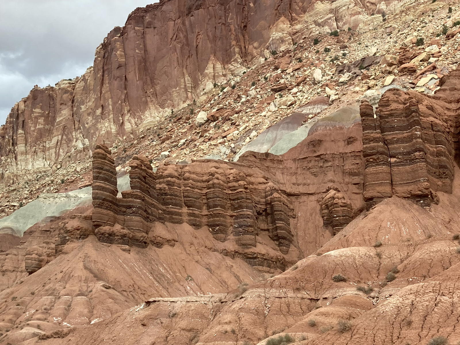
We then started to take photos of all the formations along the "reef."

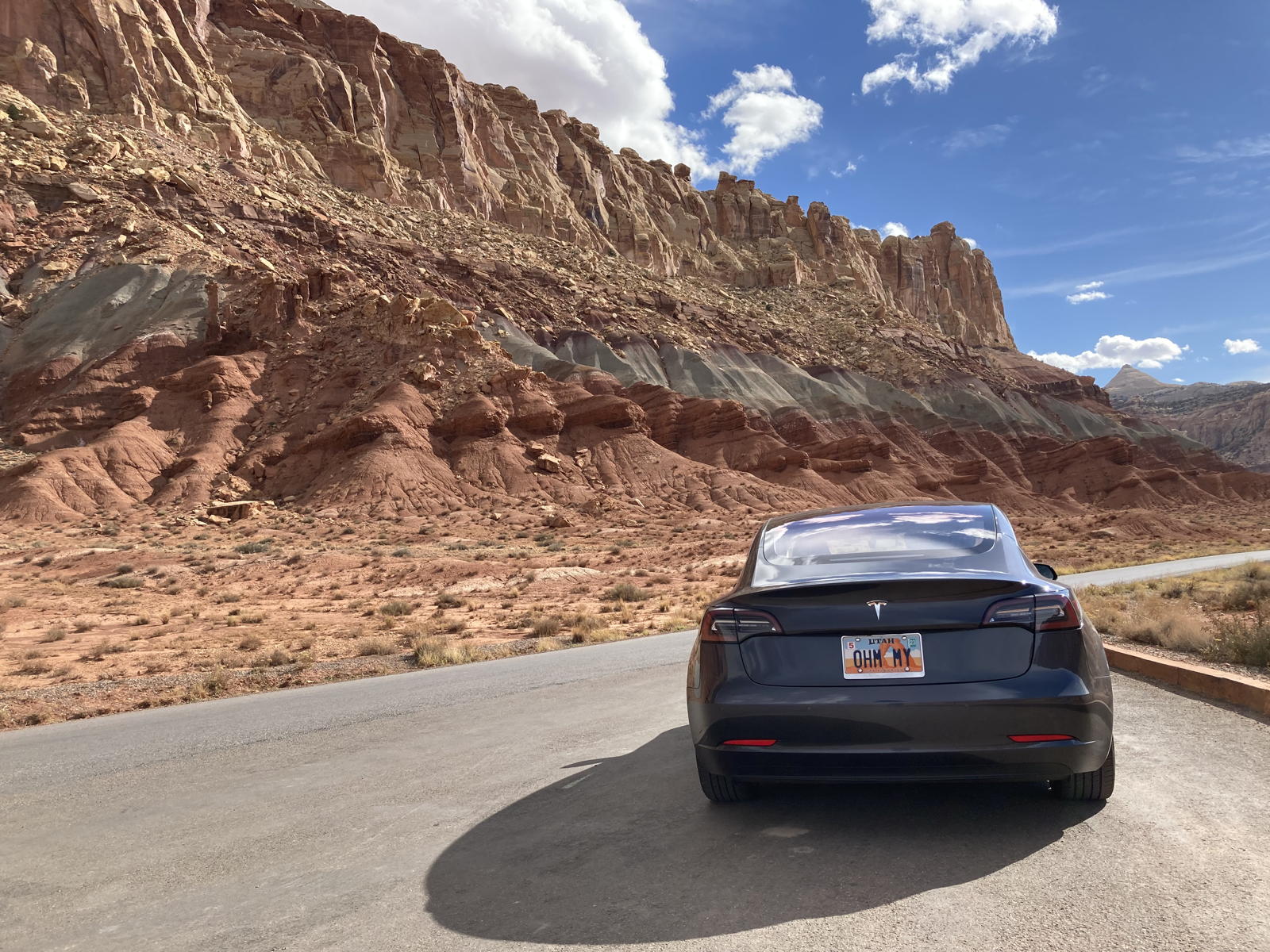
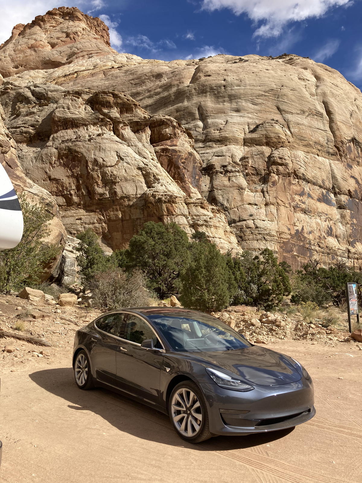
Of course, I had to take one of Correcaminos with those cliffs as a backdrop.

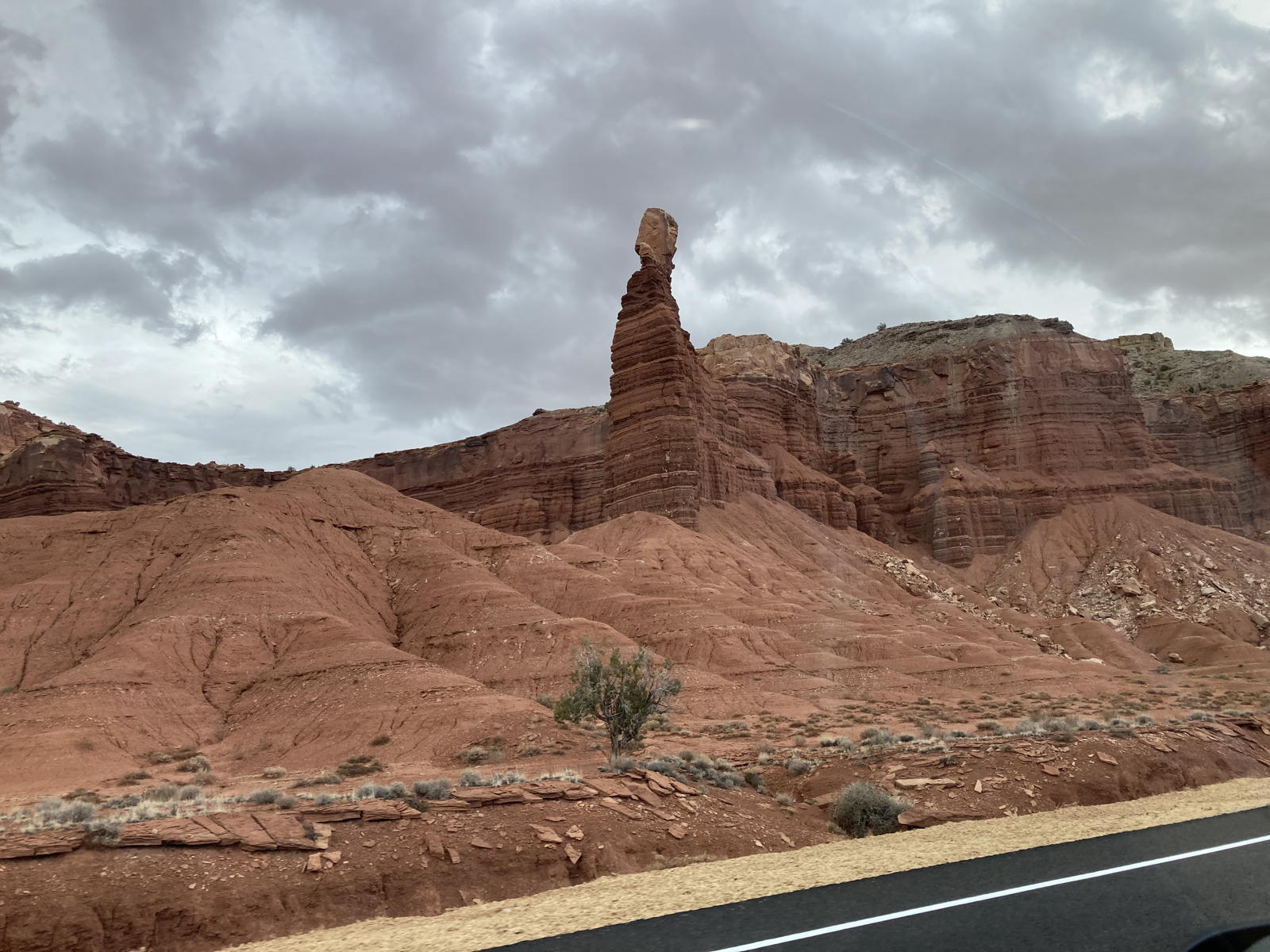
"Fern’s Nipple" is one of the most distinctive formations in the park. I don't know how true it is, but rumor has it that Butch Cassidy named it for his favorite courtesan in the area. Hmmmm. Now do you grok the reference above? Tit for twat, I say.

Another canyon.

More cliffs.
As we wind our way along the Scenic Drive, mesmerized by the beauty all around us.

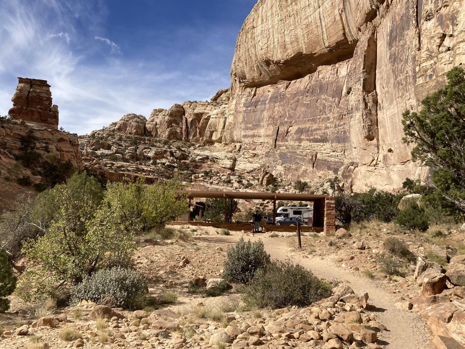
Despite the wind at the picnic area, we got out, had some lunch, and visited the outhouse.

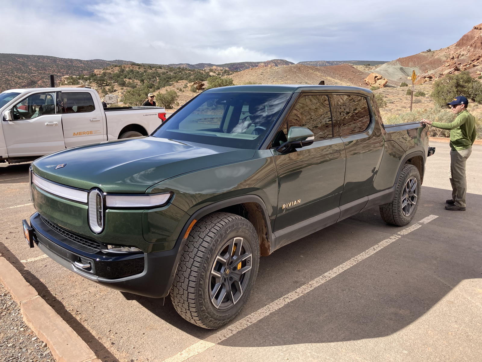
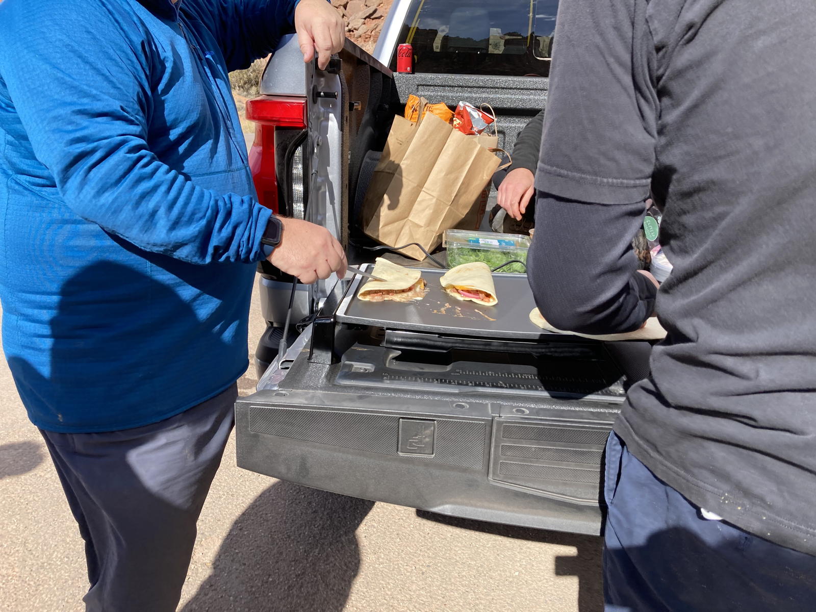
Wouldn't you know it, as we were finishing our sandwiches, we saw a Rivian R1T and two F-150 Lightnings come off the dirt road into the canyon and park next to us.

These adventurers were testing out the off-roading capabilities of their EV trucks, and there's no better place to do so that in these Southwest deserts.

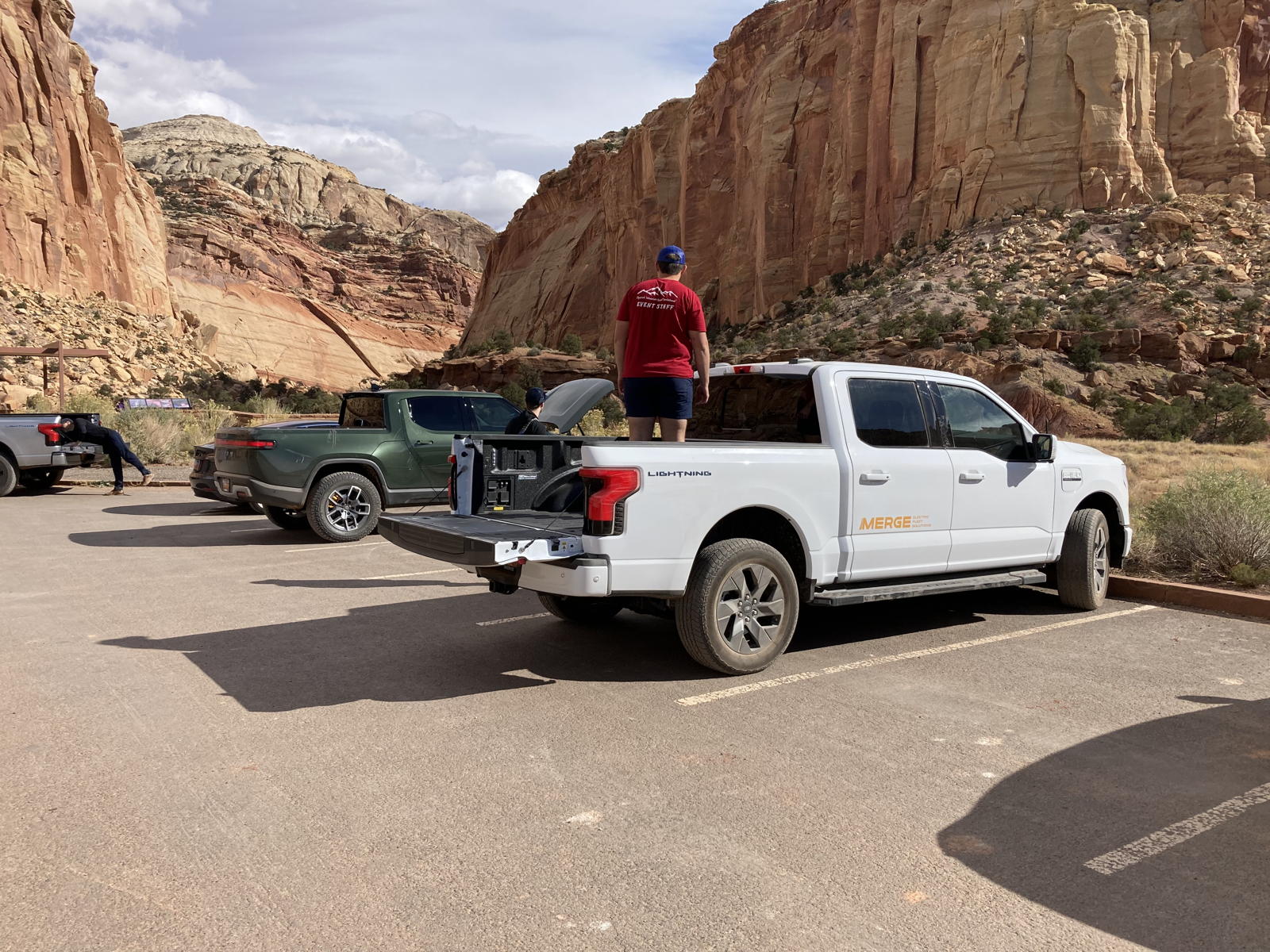
They had also stopped for lunch, and plugged a griddle into one of the Lightning's V2L outlets.

In no time at all, they were grilling and feasting on quesadillas.

Moxie was having a great time, perhaps even hungry for the quesadillas they were cooking.

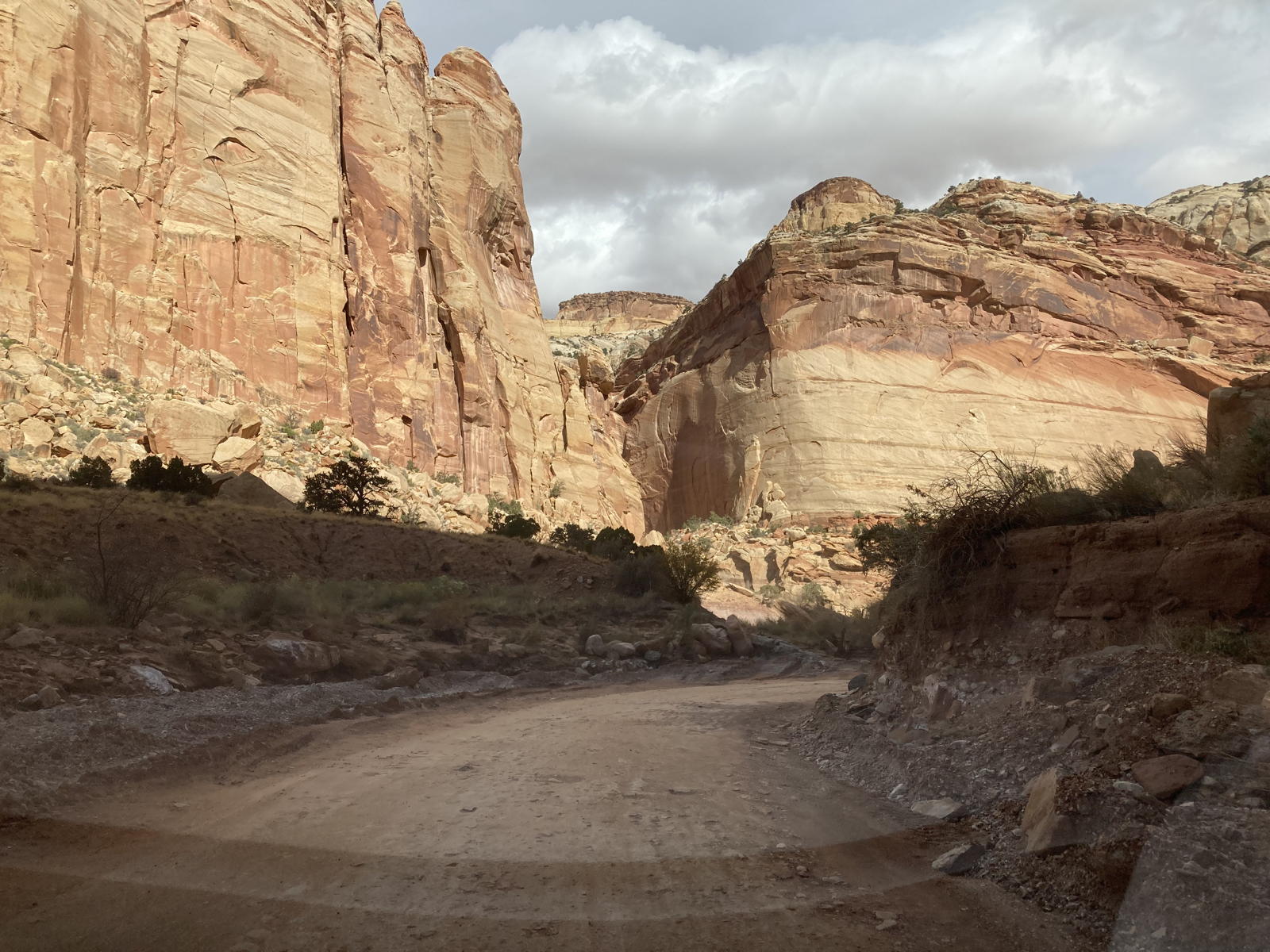
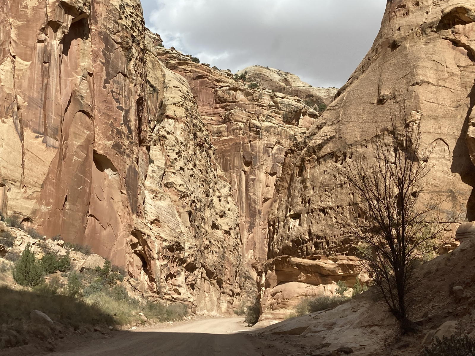
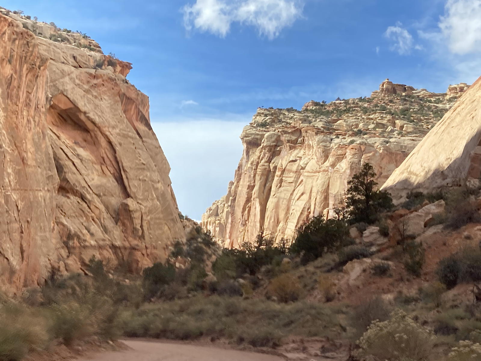
We then continued on our journey on the stretch of dirt road to the Capitol Gorge trailhead.

The road wasn't too rough, but there was one spot that we could barely traverse where water and mud had formed potholes.
Tamara had a hard time holding the camera steady as we slipped through the narrow canyon.

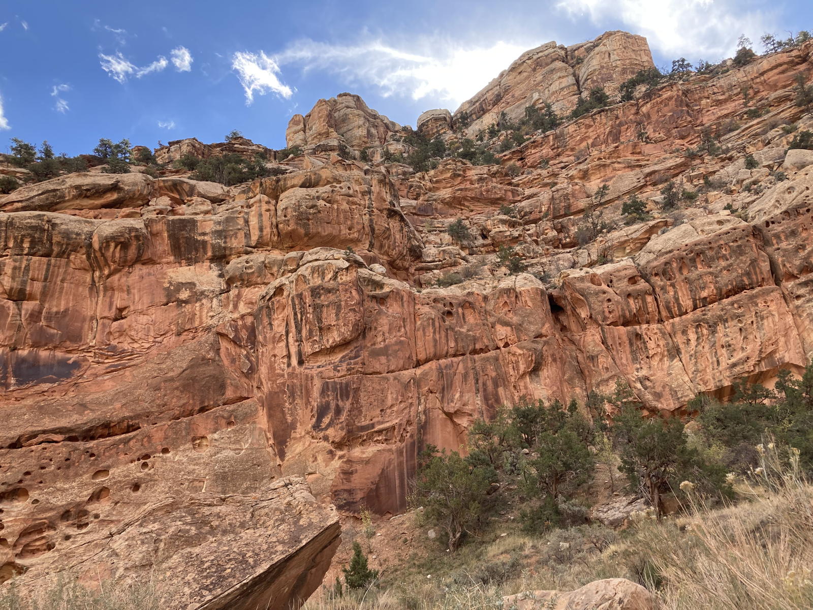
A magnificient cliff with boulders what had broken off of its face.

More cliffs towering above us.

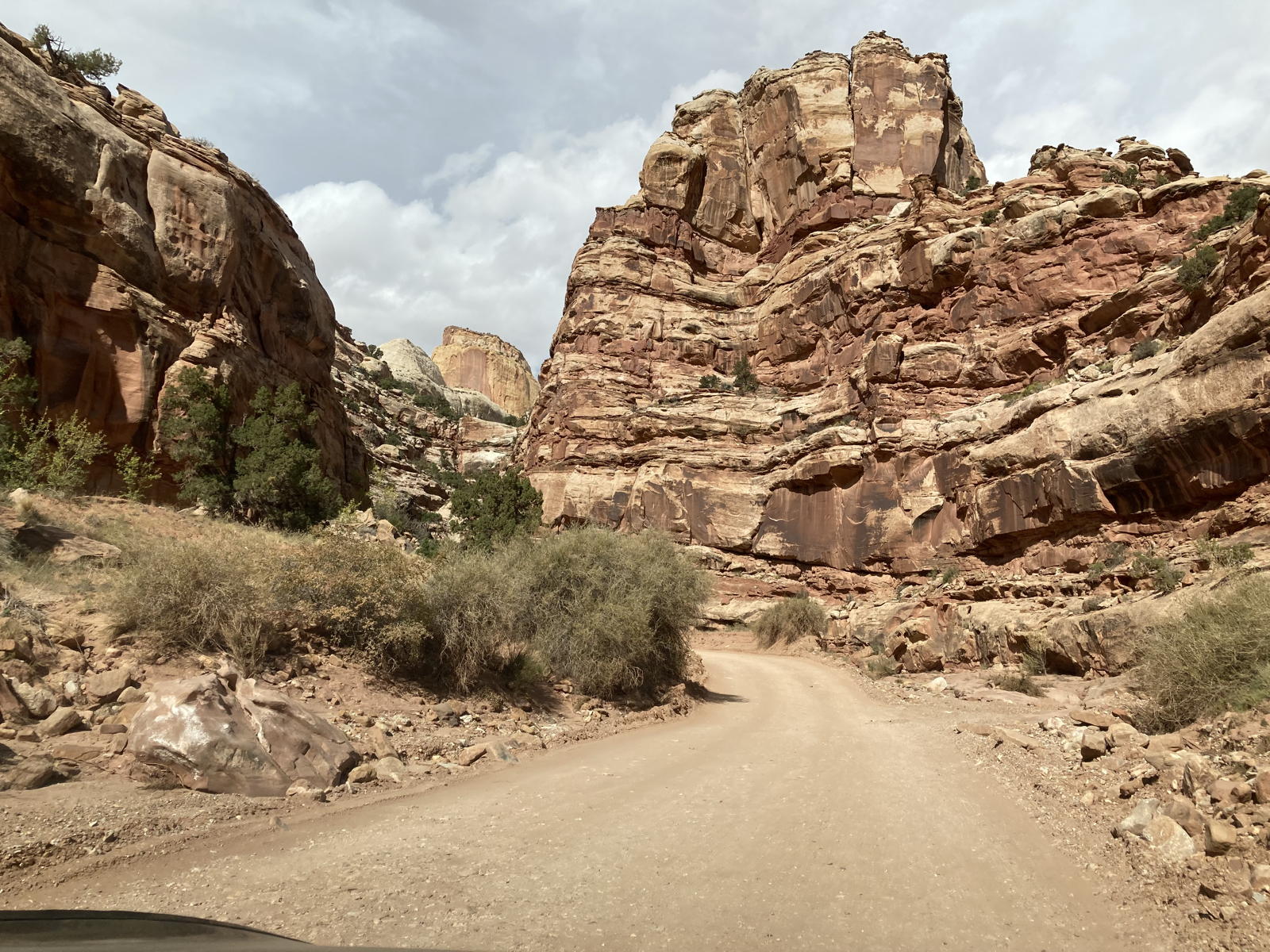
Almost at the end.

Arriving at the parking lot for the trailhead.

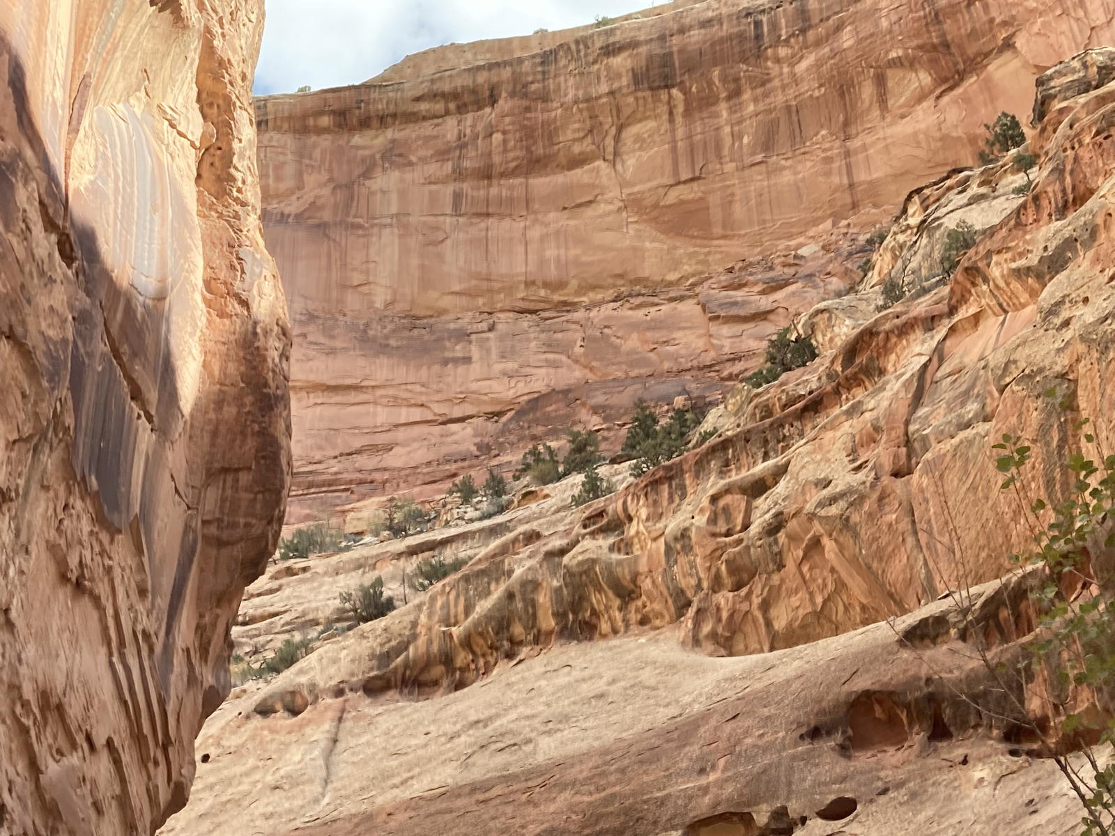
A canyon toward the side.

A canyon in front.

The canyon we came up.

We had arrived with range to spare, probably helped by the slow speeds through the park.

Correcaminos had done its thing!

There were also some picnic tables at the trailhead.

I am waving at you in this photo looking up the trail.

And I took this reciprocal shot of Tamara near the picnic tables.

We spotted this tower while driving back up the dirt road.

This time Tamara decided to take photos rather than attempt to capture the impressive surrounding in a video with limited perspective.

This shot shows the height of the cliffs to the side of us.

And this one shows the entrance to this canyon in the distance.

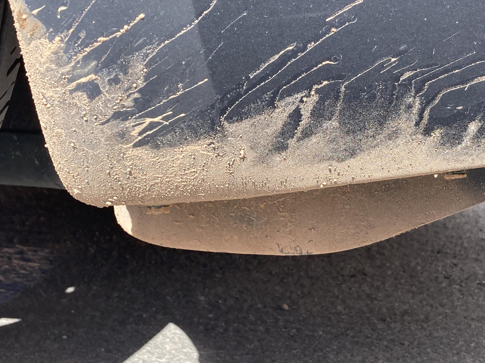
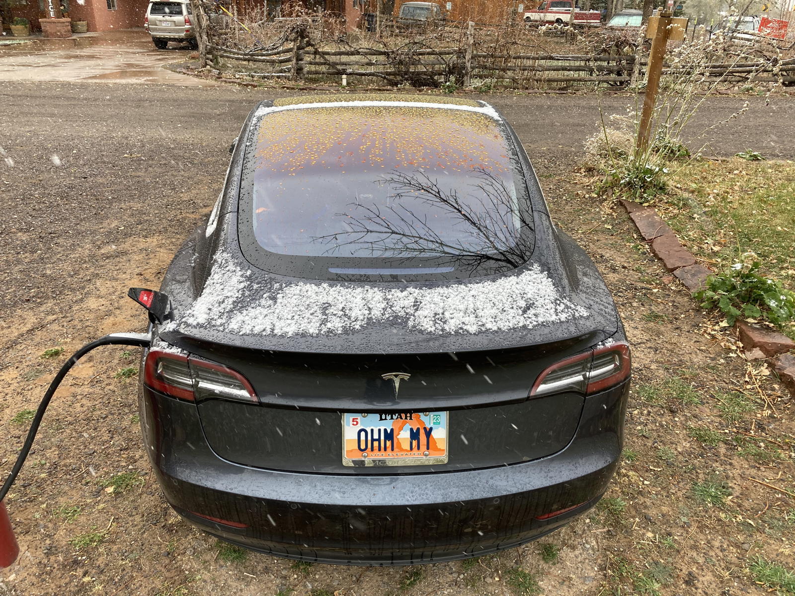
We arrived with mud on the rear fender, thanks to that one muddy pothole.

And the dust from the dirt road had clung to our fingerprints on the car.
Yet more video from Tamara's side of the car as we drive back up the Scenic Drive.

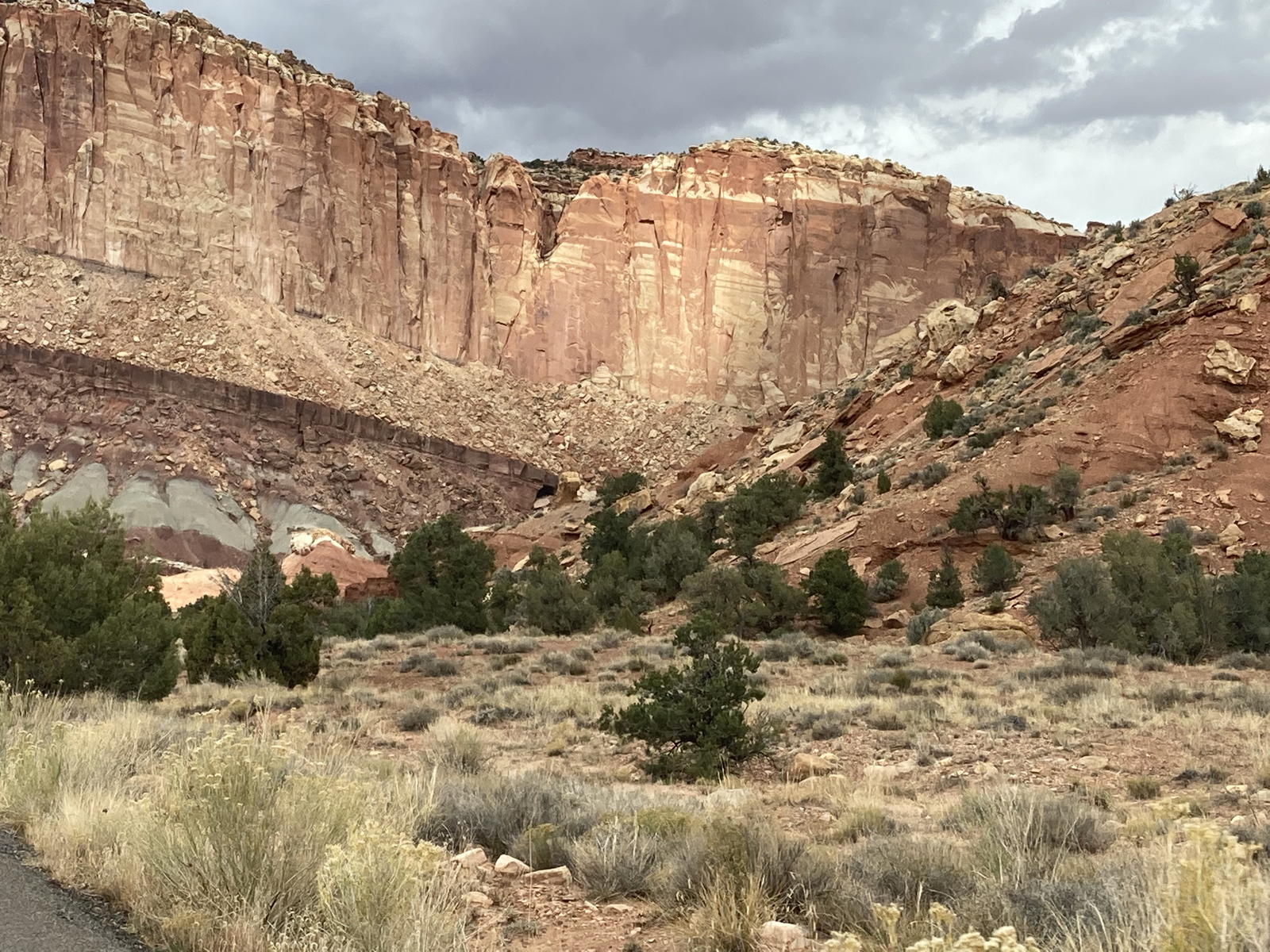
More cliffs besides us.

Even more of them.

They just keep stretching through the park.

Different levels of the sandstone boast different kinds of formations.
A more closeup video as we pass those lower formations.

The cliffs behind the village of Fruita.

Look out for marmots!

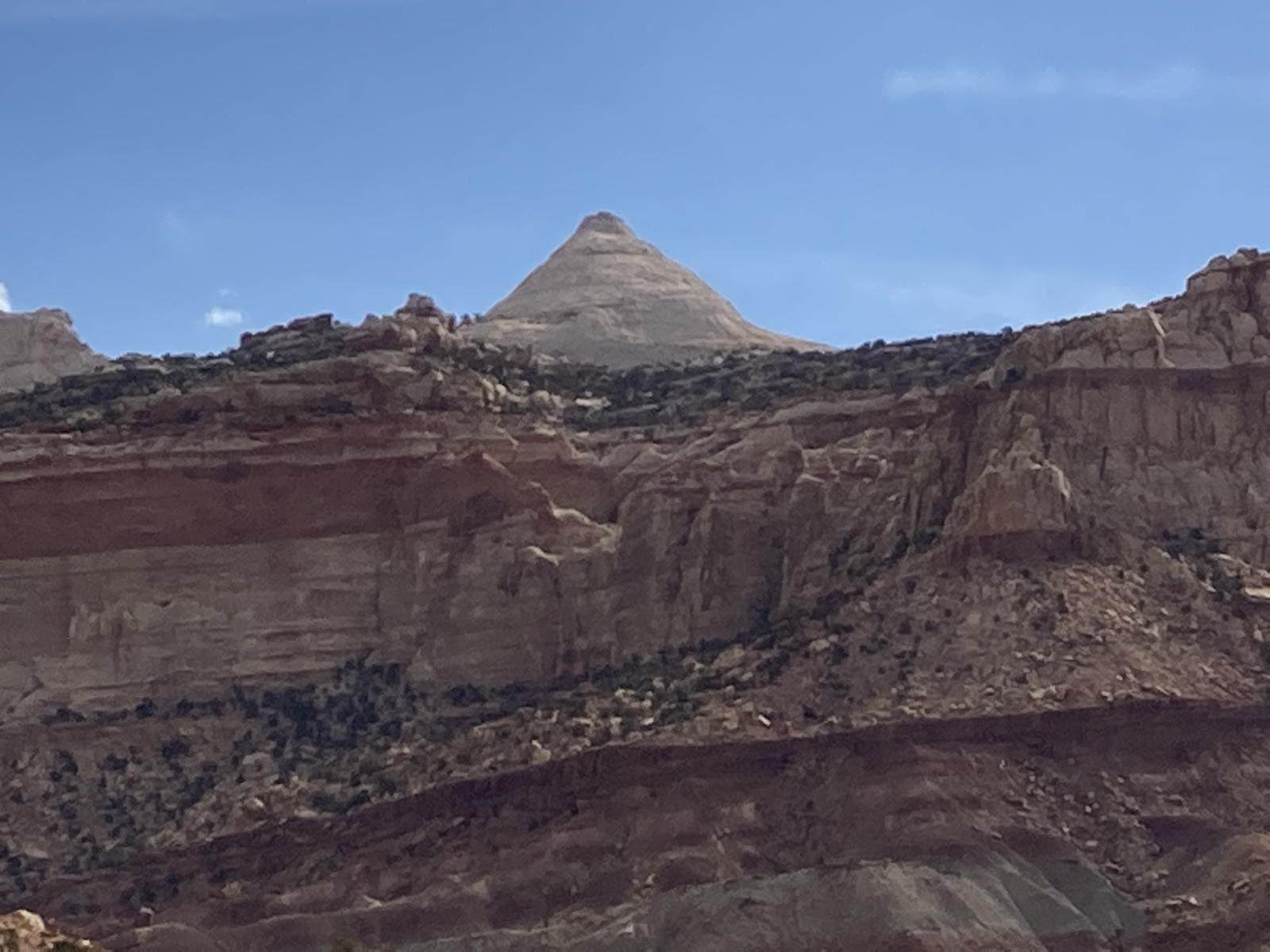
Another impressive peak. Perhaps Fern's sister?

The cliffs above the trees in Fruita.
A video as we drive through the orchards.
The navigation inexplicably plotted a different route back to the lodge. Tamara took this video as we drove through the park to the east exit.

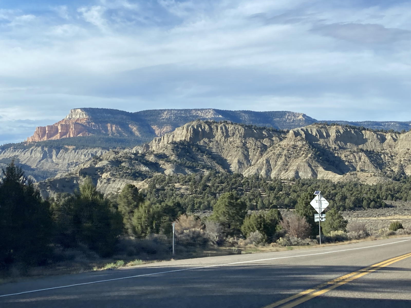
On this alternative route, we could see the east side of Capitol Reef.

The formations were equally impressive from a distance.
Unfortunately, Tesla's navigation had pulled a dirty trick on us —literally! Halfway down the highway to the east of the park, it suddenly became a sandy dirt road…! With thunderstorms approaching us head on, we were not about to risk getting stuck in a muddy flash flood. We therefore had to turn around and back track to the Visitor Center. That fiasco cost us more than 50 miles of range! I was sure glad we had charged to 90% overnight, as we now needed the extra miles to get back to the lodge.

We passed the entrance to the park again.

Then went through Torrey and turned on the road to cross the summit back to Boulder.
At the summit we had to drive through a snow storm. Although disconcerting, it was certainly preferable to getting stuck on a muddy road in the rain at a lower elevation.

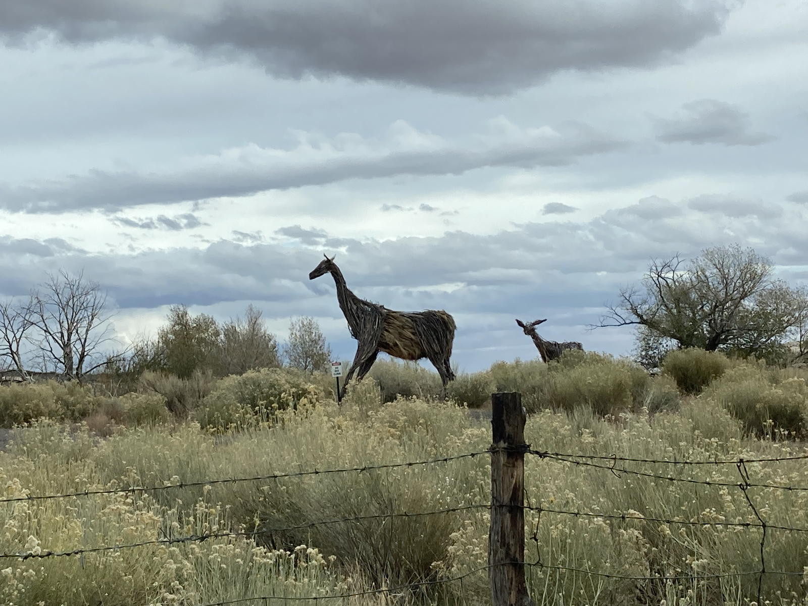
We had to laugh when we had almost arrived at the lodge. Some farmer had erected a wooden "giraffe" with its "baby" in the middle of a field.

We took this photo of the signs for the lodge and the restaurant.

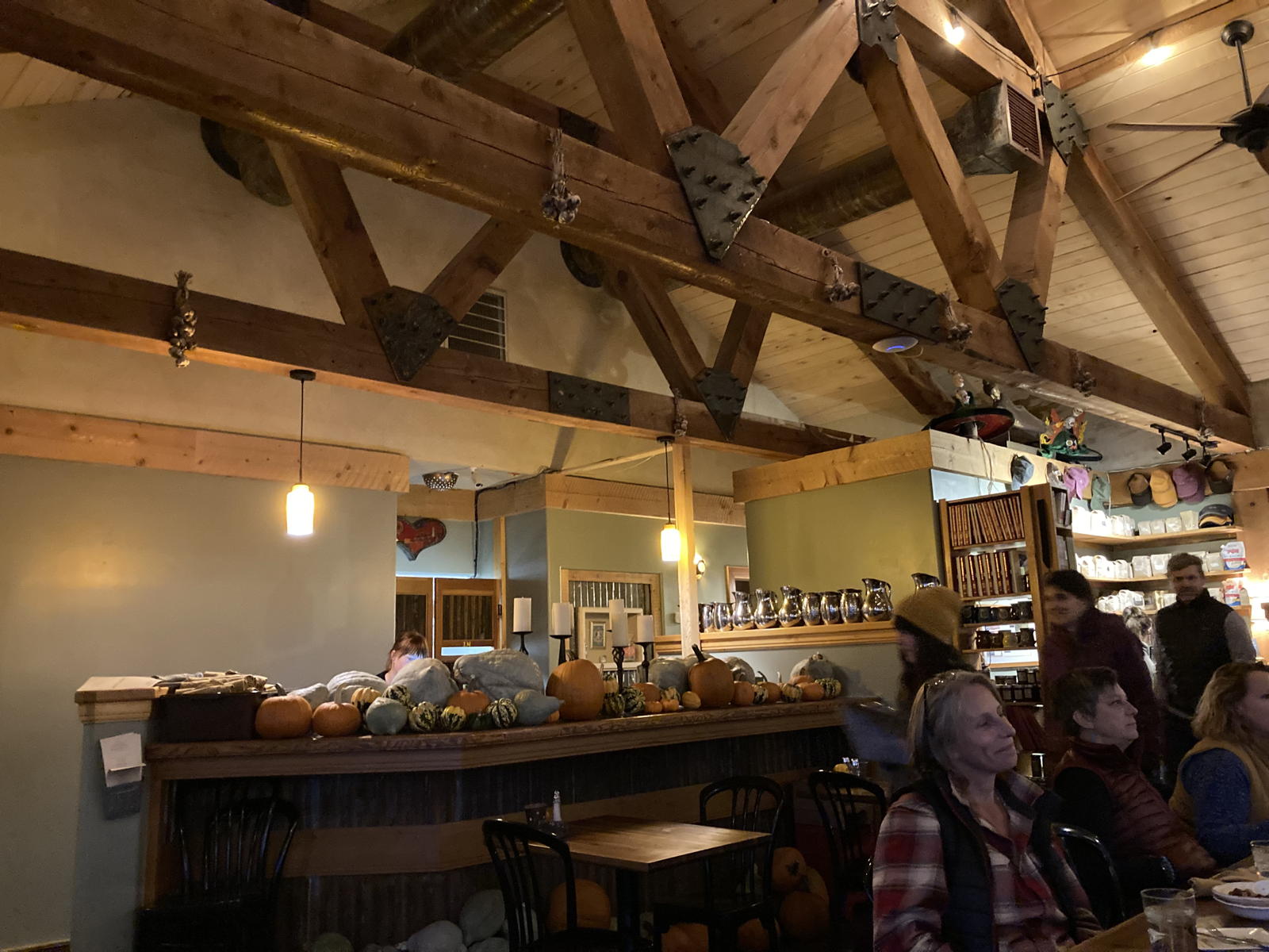
This is the restaurant on the lodge's property.

The inside is typical of western decor.

Here we are, ready to have our meal and settle down for the night.

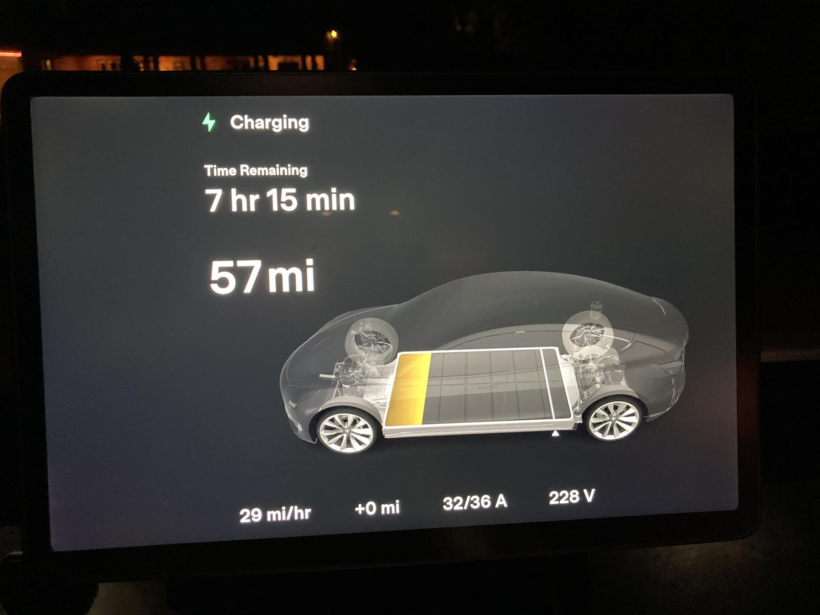
When I plugged Correcaminos into the Destination Charger, this is how many miles were left in the battery. I again charged to 90%, just in case the predicted snow storms might affect our range the next day.

The next morning I awoke to find a dusting of snow on the Model 3.

I turned on its climate control, and in just a few minutes that dusting had melted.

We decided to set the navigation to take us to the Cedar City Superchargers, hoping there would be less snow there than in Beaver.

It predicted that we'd arrive with only 17% left in the battery, so we knew we'd be cutting it close.

We passed the familiar formations along the route back toward Bryce Canyon.

As we approached the plateau, we started to see more snow.
Indeed, we had some tense moments driving back down Red Canyon with snow piling up thicker on the road. Thankfully, it hadn't obliterated the traffic lines, so autopilot and traffic-aware cruise control did their job in getting us through the slush without incident.

We made it to I-15 just fine, but then had to face the worst part of the drive: all the slushy, mucky spray being tossed up by semi-trucks barreling along at 80 mph. We decided to get off at the first exit to Cedar City so we could get a bite to eat at a drive-in we've visited many times in the past.

Moxie got to have her first experience in the snow while we were there. She was curious and perplexed, but didn't seem to mind it at all. I suppose that's to be expected with doggies descended from arctic ancestors bred to pull sleds.

We arrived at the Superchargers in Cedar City with only 11% remaining.

After plugging in, we saw that the initial charge rate was a blistering 1,070 mph from 254kW.

The 80% charge finished in 21 minutes, and the navigation predicted that we'd arrive home with more than 20% remaining. Phew!

We'd driven a total of 644 miles on this roadtrip, using 166 kWh, i.e., 3.88 miles-per-kWh —only 0.03 miles more than our Model 3's EPA estimate. No complaints from me!
Despite the navigation fiasco that took us to a dirt road, and despite having to drive through snow to get home, we absolutely loved visiting Capitol Reef National Park. Indeed, Tamara insists that we have to return there again next spring, and this time spend more than just three days on the trip. Sounds great to me! My eyes can’t get enough of the geological wonders in this corner of the world.